
Method of Compactly Communicating Ionospheric and Tropospheric Corrections in a Network of Global Navigation System Satellite Receivers

a global navigation system and satellite receiver technology, applied in the field of data communication, to achieve the effect of reducing the size of cmrx messages and smooth bandwidth utilization over tim

Active Publication Date: 2010-04-08
TRIMBLE NAVIGATION LTD
View PDF12 Cites 6 Cited by
  • Summary
  • Abstract
  • Description
  • Claims
  • Application Information

AI Technical Summary

Benefits of technology

[0011]A further advantage of the invention is that CMRx includes reference station position and coordinate frame information. This information can also be “trickled” over several CMRx messages to smooth bandwidth utilization over time.
[0012]CMRx supports moving platform data senders, for example, moving reference stations and rovers transmitting raw observations to other processing sites. The CMRx messaging system also includes optional orbital information, to guarantee that the recipient of CMRx messages has access to satellite orbital information. When integrity processes are involved, end users use of CMRx sent orbital data ensures use of integrity monitored data, or precise orbital information.
[0013]The size of CMRx messages is further reduced by removing and / or sending atmospheric data, for example, data about the ionosphere, but also in an ambiguous, abbreviated format. Additionally, the CMRx message format is capable of extension to other satellite observation types, e.g. GLONASS satellites, and can support other models such as the NOAA Troposphere model. CMRx allows one to tailor the format of the data to needs of the system designers and integrators, enabling them to select the configurations that impact the sizes of the elements and the options to enable compression that best meet the needs of their system. Because the format is self-describing, the recipients of CMRx messages can understand the entire content of the messages being sent.

Problems solved by technology

That is, for a variety of reasons the set of satellites for which an Observation Message is carrying satellite observation data may not match the set of satellites for which there are VRS network residuals being provided.

Method used


Image

  • Method of Compactly Communicating Ionospheric and Tropospheric Corrections in a Network of Global Navigation System Satellite Receivers
  • Method of Compactly Communicating Ionospheric and Tropospheric Corrections in a Network of Global Navigation System Satellite Receivers
  • Method of Compactly Communicating Ionospheric and Tropospheric Corrections in a Network of Global Navigation System Satellite Receivers

Examples


Embodiment Construction

Introduction

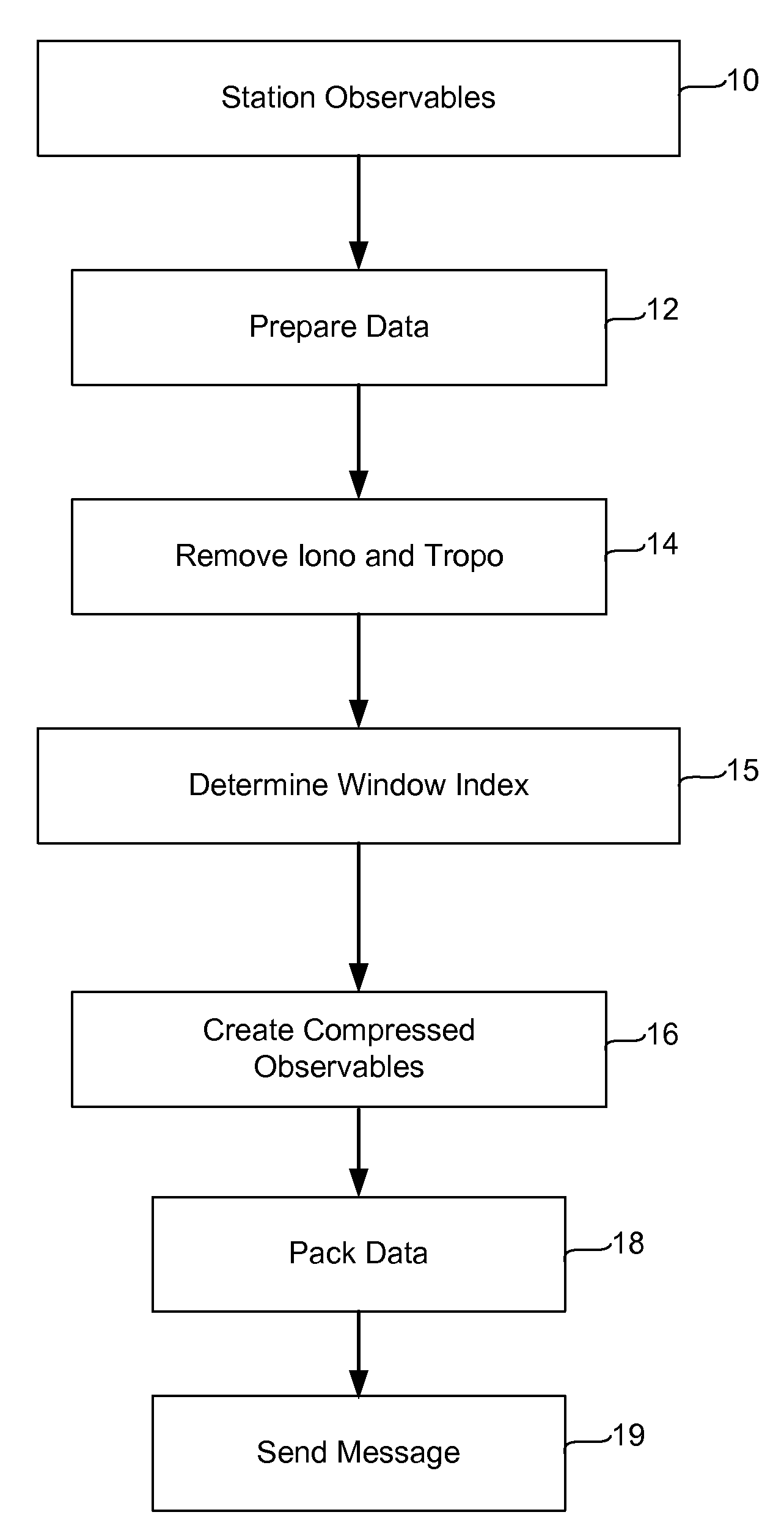
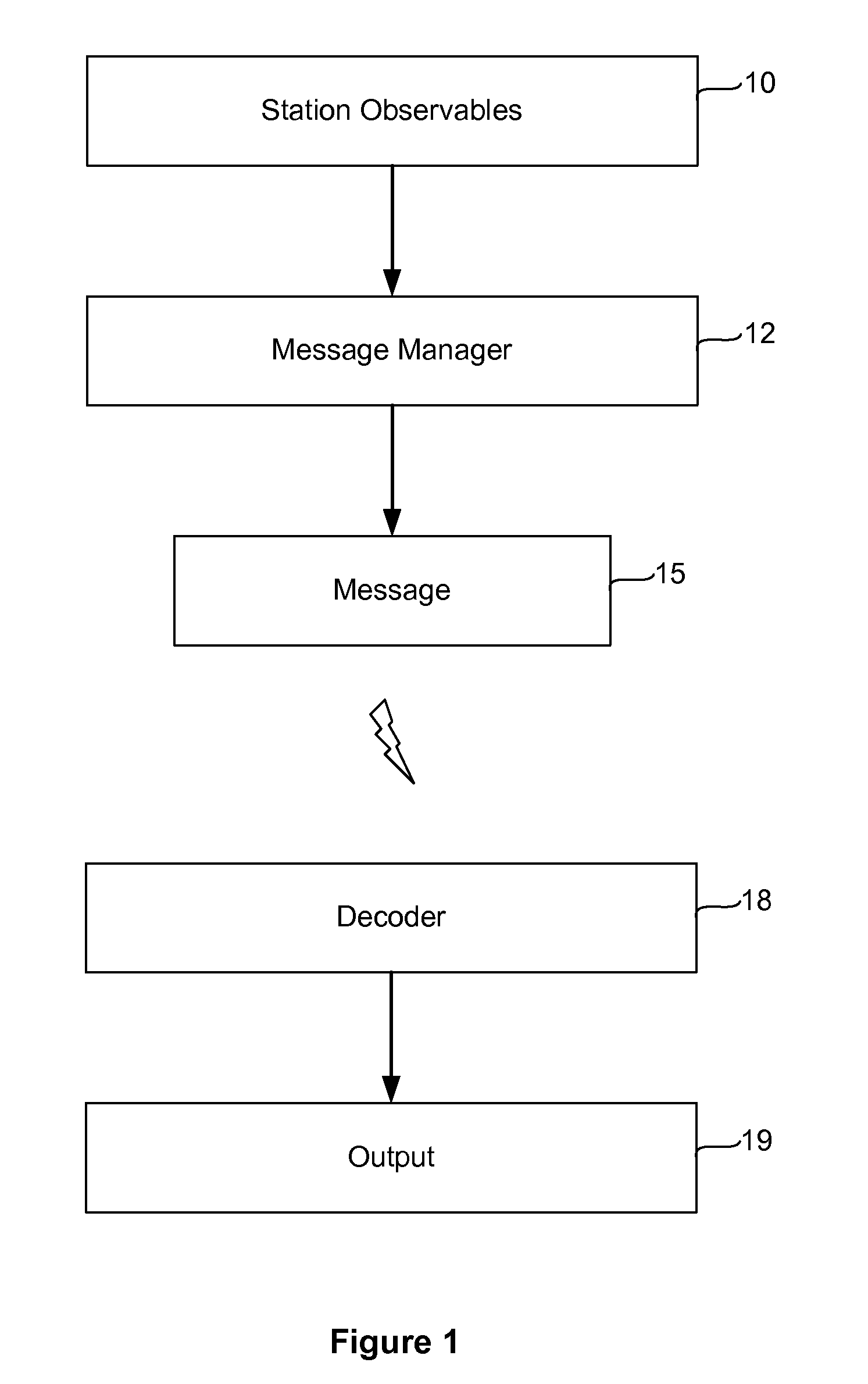
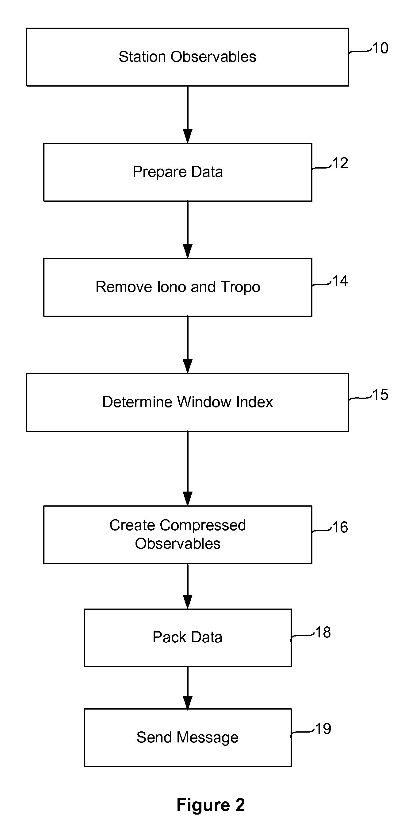
[0046]This invention relates to global navigation satellite systems, and in particular to the transmission of information among global navigation satellite system processing apparatus such as receivers, virtual reference stations, data processing centers, and rovers. The recipients of positioning information from satellites may wish to communicate that information to other stations to provide information about the relative positions of the stations. FIG. 1 is a flow diagram illustrating typical operation of a system implementing our invention. As depicted, GPS data received at a reference or other station, herein termed “observables” are collected. The data typically includes both code phase and carrier phase information.

[0047]A GPS receiver determines the travel time of a signal from a satellite by comparing the “pseudo random code” the receiver generates with code transmitted in the signal from the satellite. The receiver compares its own generated code with the code f...


PUM


Abstract

A method of communicating corrections for information related to satellite signals among global navigation satellite system (GNSS) receivers is described. An ionosphere correction for ionosphere signal path delay is determined for a first satellite. This ionosphere correction is then compared to an ionosphere correction for ionosphere signal path delay for a satellite assumed to be directly over the receiver. The receiver then sends a message which includes only the difference between the ionosphere correction for the actual observation and the ionosphere correction for a satellite assumed to be at the zenith.

Description

BACKGROUND OF THE INVENTION[0001]This invention relates to the communication of data among global navigation satellite system (“GNSS”) receivers, virtual reference stations, data processing centers, rovers, and other apparatus, and in particular to techniques for transmitting that data in a format which conserves use of bandwidth available for the transmission of the data. Herein we describe the invention in terms of use with the US global positioning satellite system (“GPS”), but we use the terms GNSS and GPS interchangeably to refer to any global navigation satellite system, whether based on satellites provided by the United States, or by other countries, e.g. GLONASS (Russia), Galileo (European Union), GAGAN (India) etc. As will be apparent, the technology described herein can be applied to use with any GNSS system, including GPS.[0002]A technique known as real time kinematic (RTK) positioning is now commonly used to determine the position of a roving GNSS receiver relative to a ...

Claims


Application Information

Patent Timeline
Patent Type & Authority Applications(United States)
IPC IPC(8): G01S5/14
CPCG01S19/04G01S19/07H03M7/30G01S19/43G01S19/41G01S19/073
Inventor FERGUSON, KENDALLREMONDI, BENJAMIN W.ALLISON, MICHAEL TIMOALBRIGHT, MICHAEL
Owner TRIMBLE NAVIGATION LTD
Learn More