Systems and Methods for Refining an Aerial Image

a technology of aerial image and system, applied in the field of orthophotography, satellite imaging, aerial imaging, three-dimensional image reconstruction, computer graphics, etc., can solve the problems of image distortion or illusion, degrade the accuracy of digital mapping, and ambiguity in the representation of the location of buildings, so as to improve the spatial alignment

Inactive Publication Date: 2015-08-27
HERE GLOBAL BV
View PDF5 Cites 44 Cited by
  • Summary
  • Abstract
  • Description
  • Claims
  • Application Information

AI Technical Summary

Benefits of technology

[0005]In another embodiment, the method receiving, using a processor, a plurality of aerial images, wherein the plurality of aerial images has been captured by a plane having a plurality of cameras, with one camera of the plurality of cameras arranged to capture a top-down aerial image. The method further comprises developing a three-dimensional model from the plurality of aerial images, wherein the three-dimensional model is developed through texture mapping, wherein image data from the one came

Problems solved by technology

This artifact of relief displacement can cause some image distortions or illusions, particularly along a joint between orthophoto sheets.
The ambiguity of an object's location due to relief displacement and the spatial resolution of the image both degrade the accuracy in digital mappin

Method used


Image

  • Systems and Methods for Refining an Aerial Image
  • Systems and Methods for Refining an Aerial Image
  • Systems and Methods for Refining an Aerial Image

Examples


Embodiment Construction

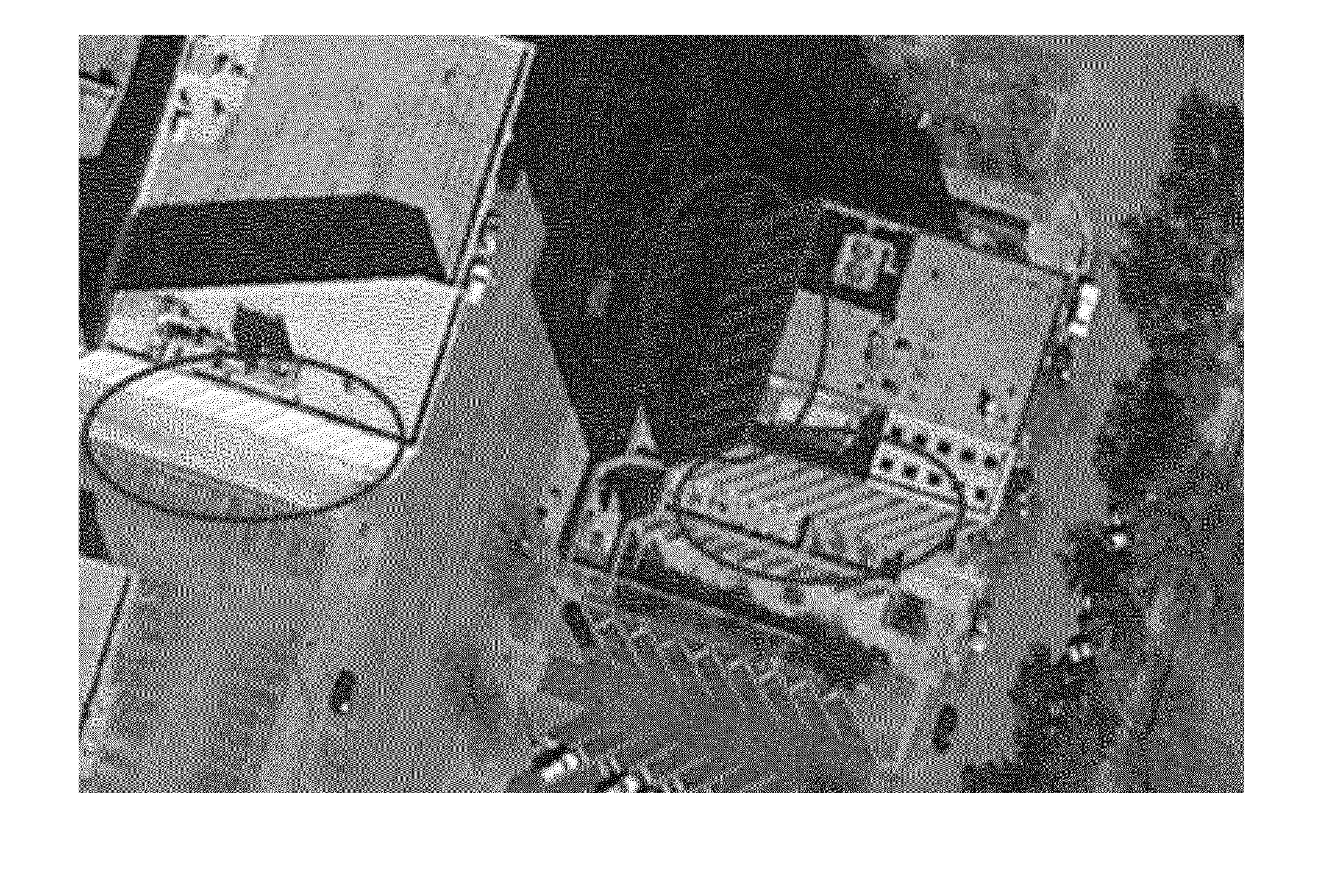
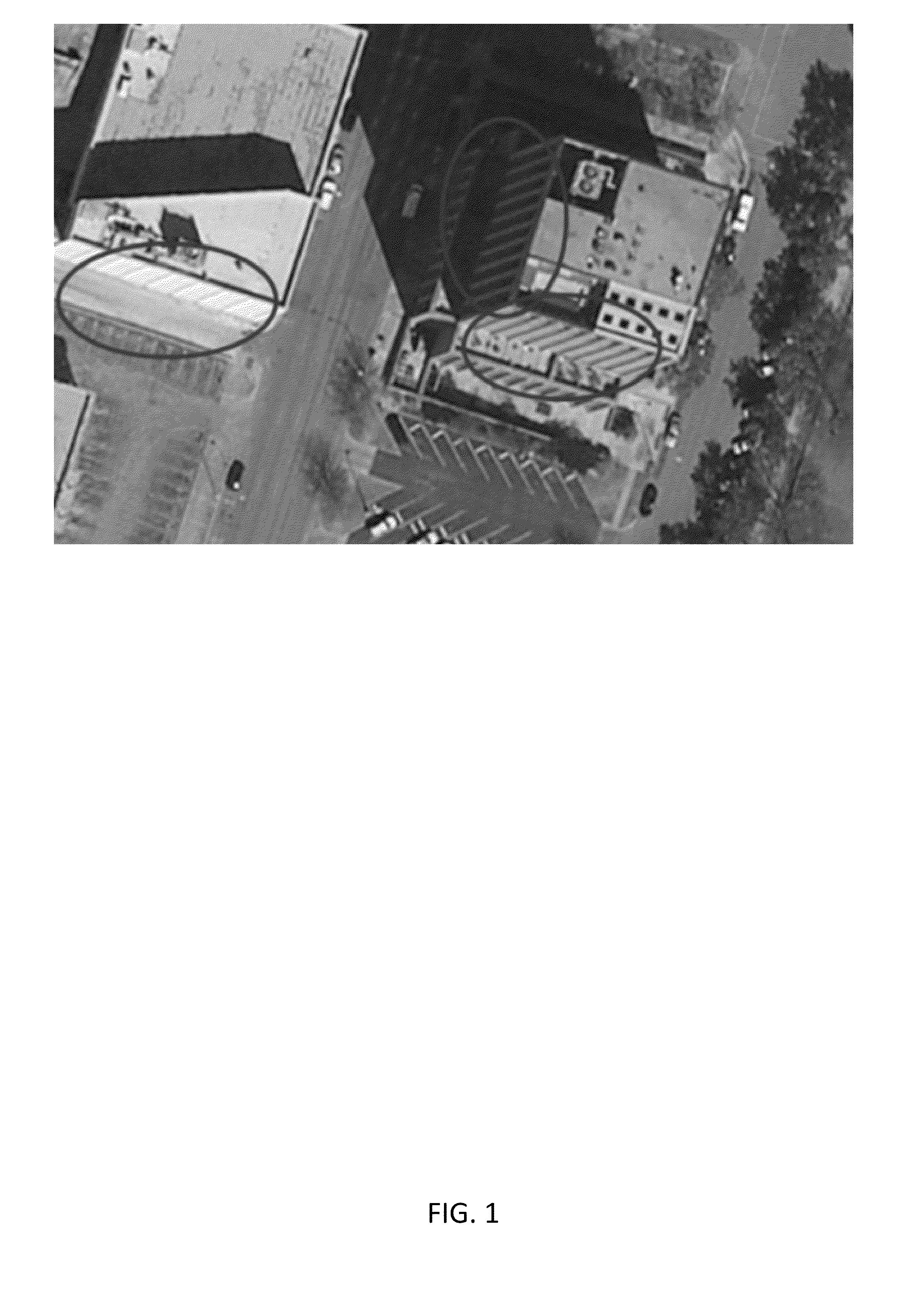
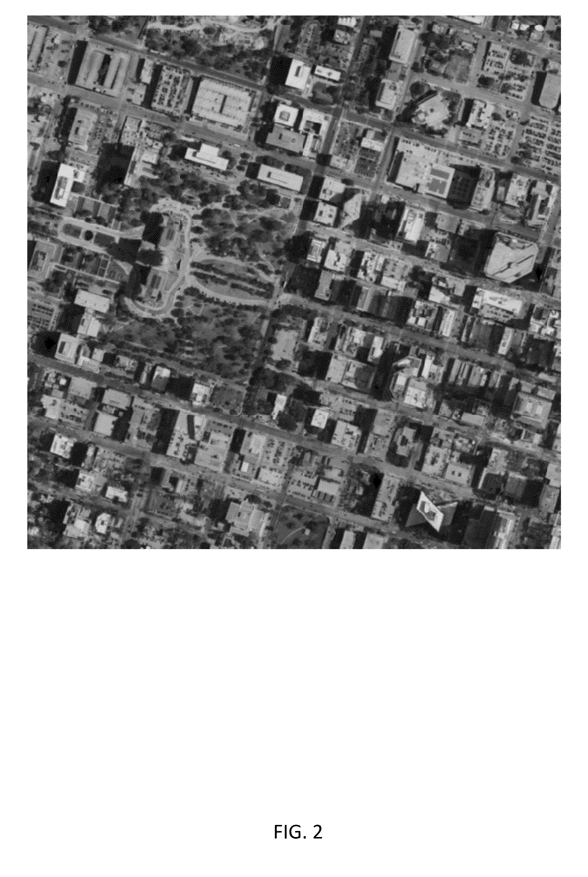
[0014]The following embodiments include the systems, apparatuses, and methods for refining an aerial image. Analysis techniques and computer algorithms may be used for synthesizing an improved or “true” orthophotograph, or orthophoto. In particular, the following embodiments allow for developing an orthophoto having improved resolution and / or improved spatial or “ground truth” accuracy over a conventional orthophoto. Through development of an improved, high resolution orthophoto, a reference platform may be developed for aligning at least one data source, or in some cases, a plurality of data sources (i.e., two or more data sources). For example, the reference platform may be useful for digital mapping, etc., providing users with increased accuracy and detail and overcoming technical limitations relating to relief displacement, lens distortion, spatial precision, and / or level of accuracy.

[0015]As used herein, an “orthophotograph” or “orthophoto” may refer to an aerial photograph tha...


PUM


Abstract

Systems, apparatuses, and methods are provided for refining an aerial image. A plurality of aerial images is received using a processor. The plurality of aerial images is developed into a three-dimensional model. The three-dimensional model is synthesized into an improved orthophoto image. The improved orthophoto image may be stored on a personal computer or workstation as a reference platform.

Description

FIELD[0001]The following disclosure relates to orthophotography, satellite imaging, aerial imaging, three-dimensional image reconstruction, computer graphics, and digital mapping. In particular, the following disclosure relates to systems, apparatuses, and methods for refining or reconstructing an aerial image and applying data from the reconstructed image in a reference platform.BACKGROUND[0002]Digital representations of the earth's surface—particularly, though not exclusively, in urban areas—are useful in a variety of applications. By way of example, representative applications of orthophotographic city models include, but are not limited to, navigation systems, intelligent transportation systems, urban planning, enhanced city visualization (e.g., virtual tours, tourism), noise modeling, thermographic building inspections, and the like.[0003]A conventional orthophoto typically alters an aerial image by removing the relief displacement of the terrain within the aerial image, wherei...

Claims


Application Information

Patent Timeline
IPC IPC(8): G06T17/05H04N5/247G06T15/04
CPCG06T17/05G06T2207/30181H04N5/247G06T15/04G06T17/20
Inventor CHEN, XINZHUKOV, VLADIMIR
Owner HERE GLOBAL BV
Why Eureka
Try Eureka