Method, apparatus, and computer program product for providing a graphical user interface with a linear map component

a technology linear map, which is applied in the field of graphical user interface, geographical map, business directories, online search engines, etc., can solve the problems of difficult or awkward to incorporate textual poi designators, difficult to show textual information including point of interest (poi) designators such as names, and designated regions, etc., to achieve the effect of easy adaptation

Active Publication Date: 2006-07-11
METROBOT
View PDF10 Cites 169 Cited by
  • Summary
  • Abstract
  • Description
  • Claims
  • Application Information

AI Technical Summary

Benefits of technology

[0020]a) to provide a graphical user interface that enables easy incorporation of substantial amounts of map related text based information, such as the names of POIs or businesses which appear along either side of a road;
[0021]b) to provide a graphical user interface which results in relatively small file sizes which can be sent rapidly over limited bandwidth communications networks;
[0022]c) to provide a graphical user interface which can be displayed and easily comprehended on the small display screens found in mobile communications devices such as cellular telephones, PDAs, and other handheld computers;

Problems solved by technology

These maps were meticulously drawn by hand and updated in a laborious process whenever changes occurred.
Although it is relatively easy to graphically depict the streets occurring within a designated geographic region, it is somewhat more difficult to show textual information including point of interest (POI) designators such as the names of hotels, restaurants, and various other POIs falling within the designated region.
Furthermore, the streets may be oriented in such a way that it becomes difficult or awkward to incorporate textual POI designators (as would be the case if the street were oriented horizontally across the display).
This additional level of information is beneficial, but does not overcome the problem of overlapping icons as described above.
Here again, we run into the same density problems, resulting at times, in overlapping, and unreadable text.
The high-rise office building example stated above would also pose problems if one were to attempt to display the names of all businesses located in the building.
If however, text were to be added to a series of closely spaced POI icons placed horizontally along E 5th Street, problems with overlapping would likely arise.
It is the non-uniform and curving nature of the typical city road network that makes the incorporation of related textual information difficult.
Although such maps can be accessed via computer systems, they permit no user interactivity beyond the viewing of the map image.
Larger images, having a larger number of pixels, typically result in larger file sizes.
When a user accesses a map over a computer network such as the Internet, image files are often the bottleneck resulting in long periods of waiting while the files are downloaded.
This problem is exacerbated when low bandwidth mobile devices such as cell phones, personal digital assistants (PDAs), and various other handheld computers are employed to access data over the Internet.
They also have very small display screens that can't typically show as much information as a standard desktop computer monitor.

Method used


Image

  • Method, apparatus, and computer program product for providing a graphical user interface with a linear map component
  • Method, apparatus, and computer program product for providing a graphical user interface with a linear map component
  • Method, apparatus, and computer program product for providing a graphical user interface with a linear map component

Examples


first embodiment

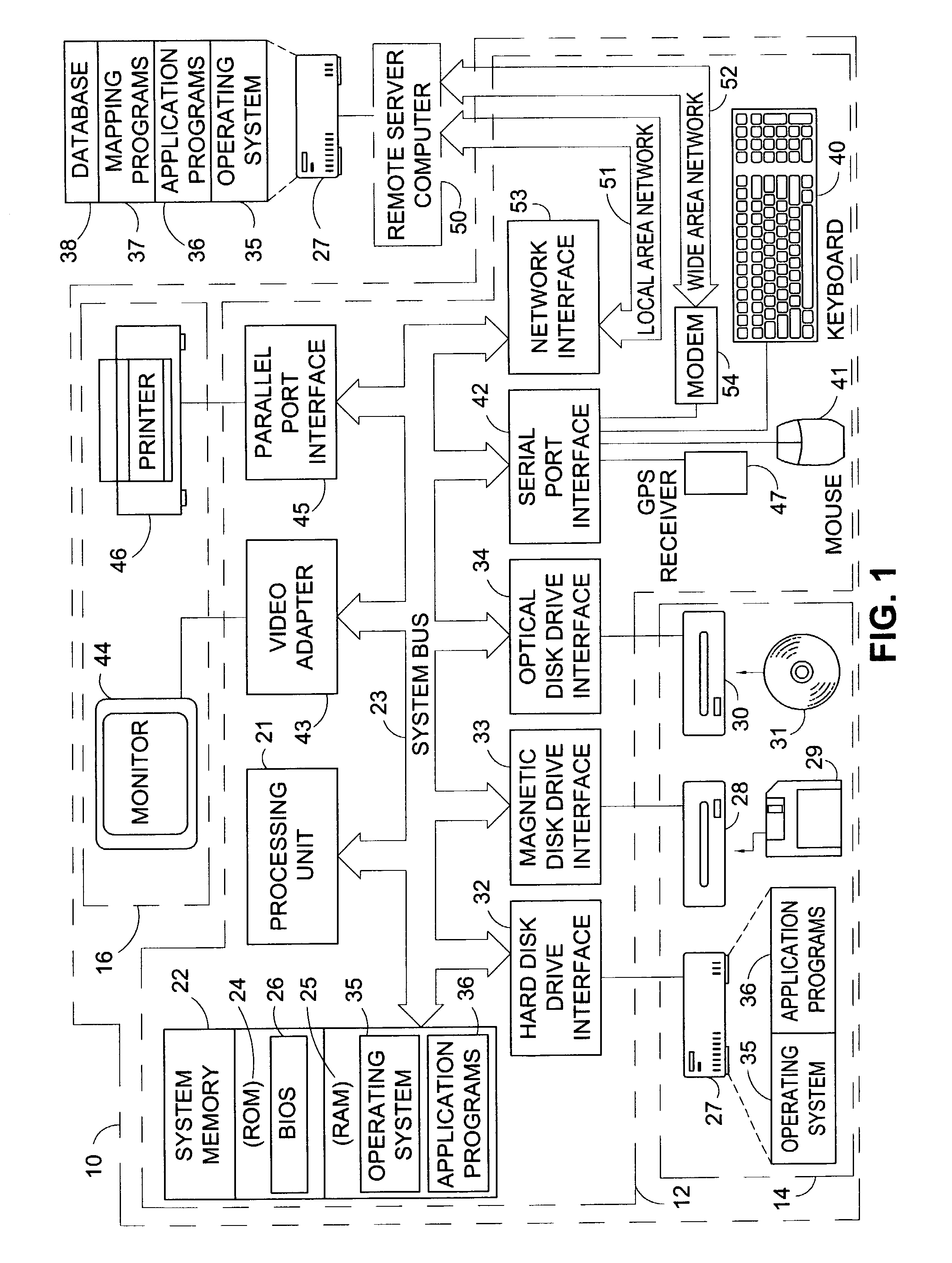
[0256]FIG. 1 and the following discussion are intended to provide a brief, general description of a suitable apparatus for implementing the invention. While the invention will be described in the general context of a distributed computing environment where tasks are performed by remote processing devices that are connected through a communications network, those skilled in the art will recognize that the invention also may be implemented in non-distributed computing environments such as in the case of an application program running on an operating system in conjunction with a personal computer or other computing device. In a distributed computing environment, program modules comprising routines, programs, components, and data structures that perform particular tasks or implement particular abstract data types may be located in both local and remote memory storage devices. Those skilled in the art will appreciate that the invention may be practiced in combination with other program m...


PUM


Abstract

The present invention comprises a method, apparatus, and computer program product for providing a graphical user interface (GUI) with a linear map component. A database that includes data representing transportation segments and point of interest (POI) features is employed. Once the desired location is determined, the data relating to it is extracted from the database and presented to the user in a GUI in which individual transportation segments along the predetermined route or projected path of travel are shown in a linear format. The linear formatted segments are oriented vertically in the map display or printout in order to easily accommodate the display of textual information and / or links associated with POIs along the path of travel. Further information is displayed pursuant to user selection of links or icons in the main GUI screen.

Description

FEDERALLY SPONSORED RESEARCH[0001]Not ApplicableSEQUENCE LISTING OR PROGRAM[0002]Not ApplicableBACKGROUND OF THE INVENTION[0003]1. Field of the Invention[0004]The present invention generally relates to graphical user interfaces, geographical maps, business directories, online search engines, and in car navigation systems. More particularly, the present invention relates to a method, apparatus, and computer program product for providing a graphical user interface with a linear map component incorporating graphical information related to transportation segments such as highways, roads, railroads, subways, and rivers, in conjunction with textual information relating to points of interest (POIs) that are located along the depicted transportation segments.[0005]2. Description of the Prior Art[0006]There are many situations where a person needs to know detailed information associated with a specific transportation segment such as a road. This detailed information may be in the form of add...

Claims


Application Information

Patent Timeline
Patent Type & Authority Patents(United States)
IPC IPC(8): G06F17/00G01C21/36G06F17/30
CPCG01C21/367G06F17/3087Y10S707/99948Y10S707/99945G06F16/9537
Inventor CAMPBELL, GEOFFREY MICHAEL
Owner METROBOT
Why Eureka
Try Eureka