Composition of raster and vector graphics in geographic information systems
a geographic information system and vector graphics technology, applied in the field of vector and raster gis images, can solve the problems of destroying the true nature of an image, further challenges, and additional alignment challenges of raster gis images
- Summary
- Abstract
- Description
- Claims
- Application Information
AI Technical Summary
Benefits of technology
Problems solved by technology
Method used
Image
Examples
Embodiment Construction
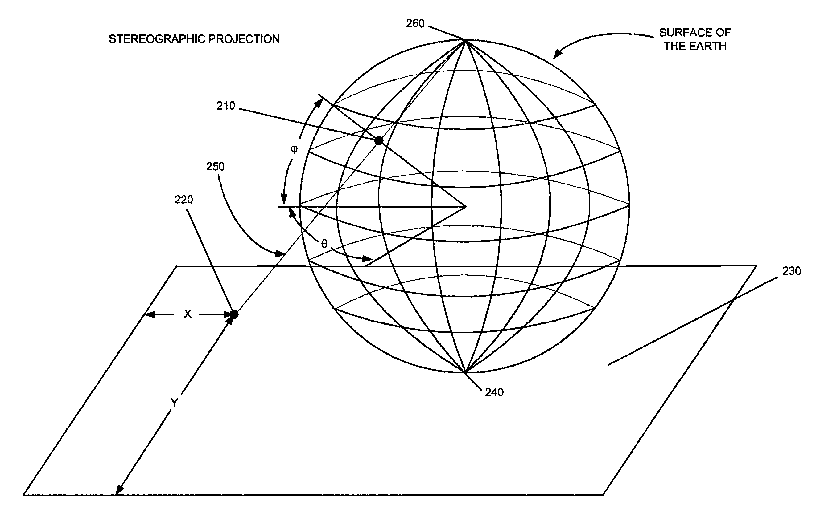
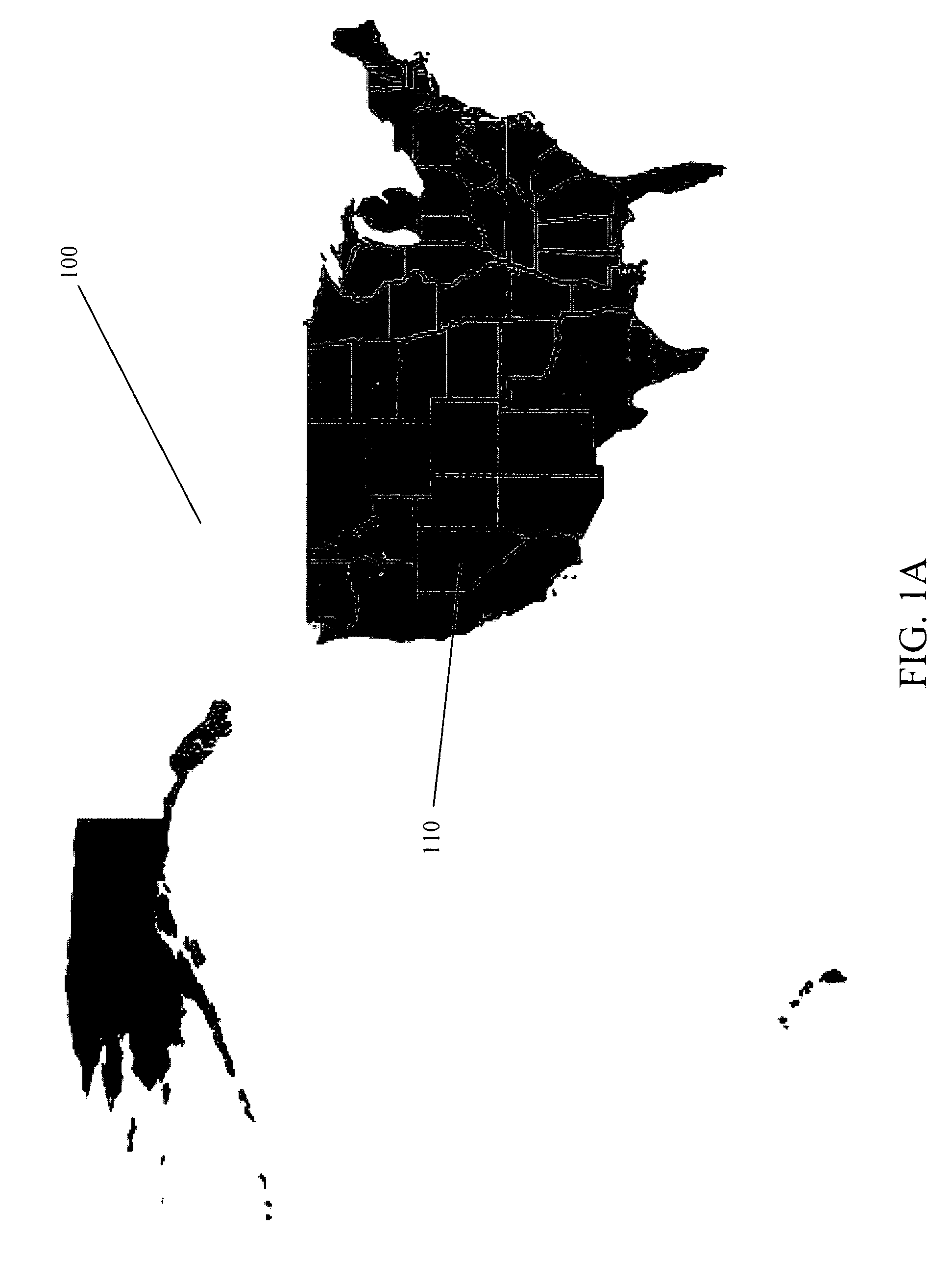
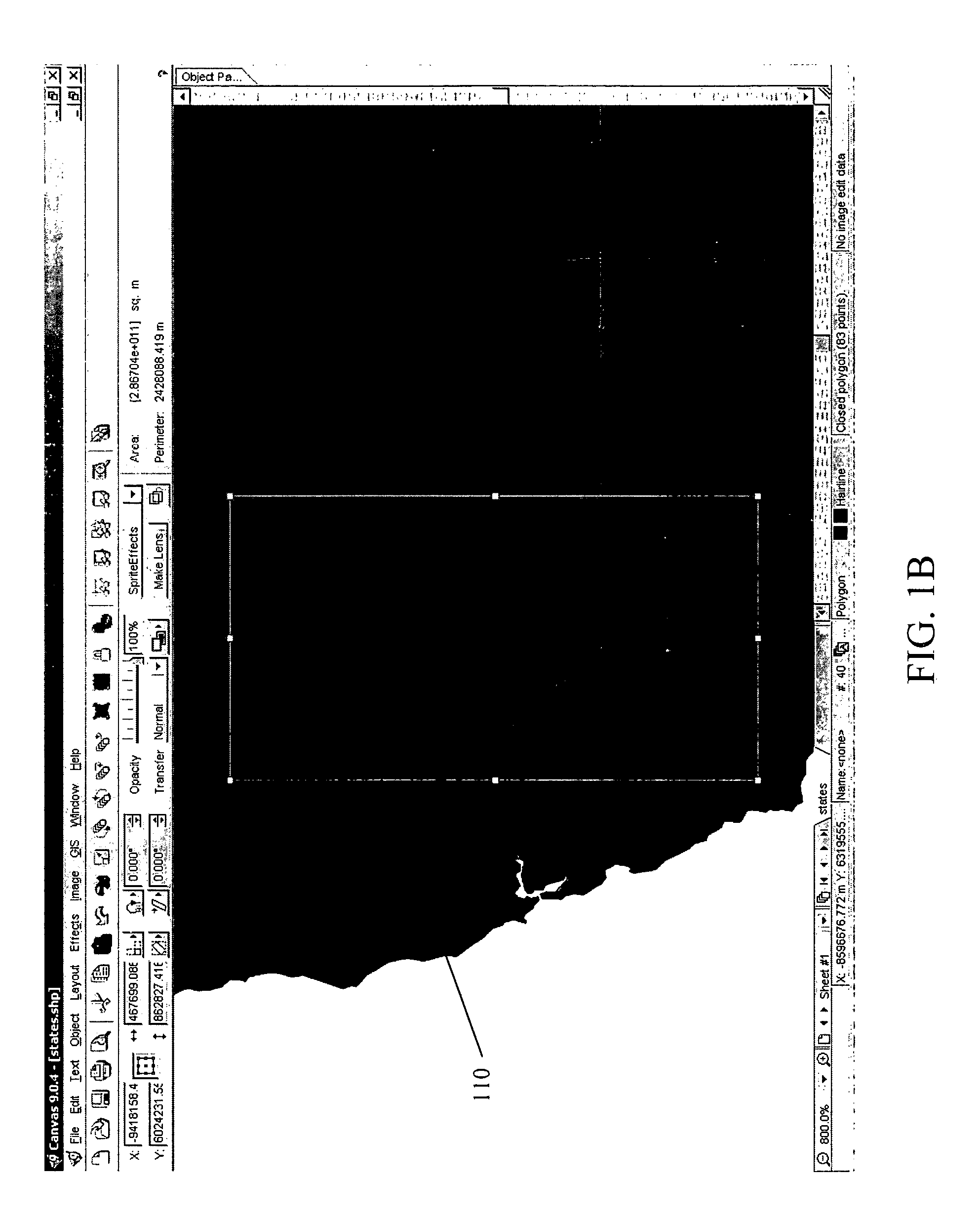
[0042]The present invention concerns composition of vector and raster graphics within geographical information systems (GIS). GIS images are generally of two types: vector images comprised of vector objects such as points, lines and areas, and raster images comprised of arrays of pixel color values.
[0043]The present invention is preferably implemented within a conventional computing device including a central processing unit, memory units for storing programs and data, input devices including a mouse and keyboard, and an output display device. Preferably, the central processing unit, memory units, and device drivers for the mouse, keyboard and display are coupled communicatively together using a conventional data bus. It may be appreciated, however, from the description hereinbelow, that the present invention may also be implemented within non-conventional computing devices, as long as such devices include processing means, program and data storage means, and input and display means...
PUM
 Abstract
Description
Claims
Application Information
 - R&D
- Intellectual Property
- Life Sciences
- Materials
- Tech Scout
- Unparalleled Data Quality
- Higher Quality Content
- 60% Fewer Hallucinations
Browse by: Latest US Patents, China's latest patents, Technical Efficacy Thesaurus, Application Domain, Technology Topic, Popular Technical Reports.
© 2025 PatSnap. All rights reserved.Legal|Privacy policy|Modern Slavery Act Transparency Statement|Sitemap|About US| Contact US: help@patsnap.com


