
System and method for employing a grid index for location and precision encoding

a grid index and location technology, applied in the field of system and method for location and precision encoding, can solve the problems of generality at the expense of efficiency, inefficiency at particular tasks, and poor performance of databases in performing range queries over more than a single dimension, and achieve the effect of time-consuming and computationally expensiv

Inactive Publication Date: 2011-06-21
MICROSOFT CORP +1
View PDF9 Cites 17 Cited by
  • Summary
  • Abstract
  • Description
  • Claims
  • Application Information

AI Technical Summary

Benefits of technology

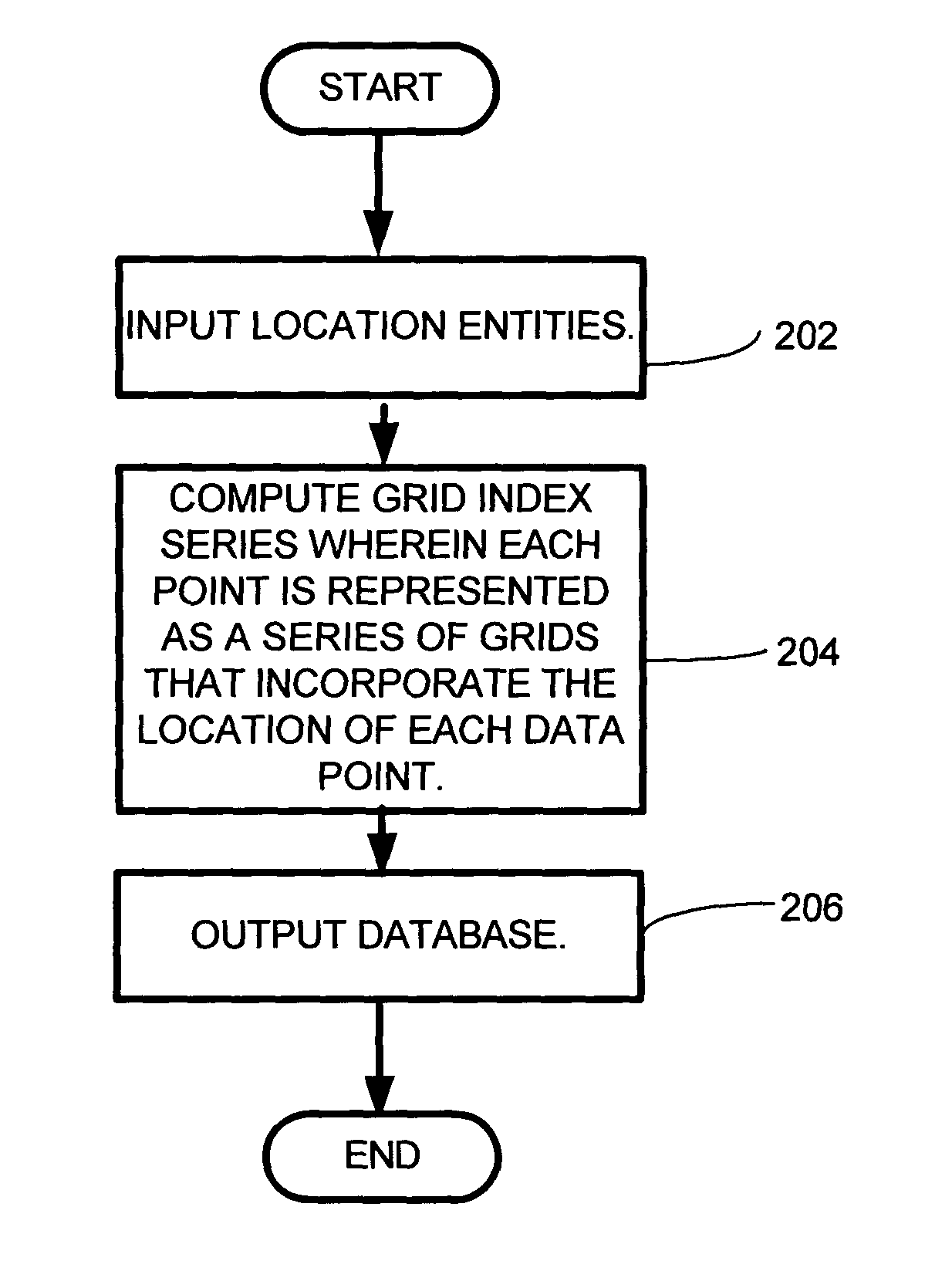
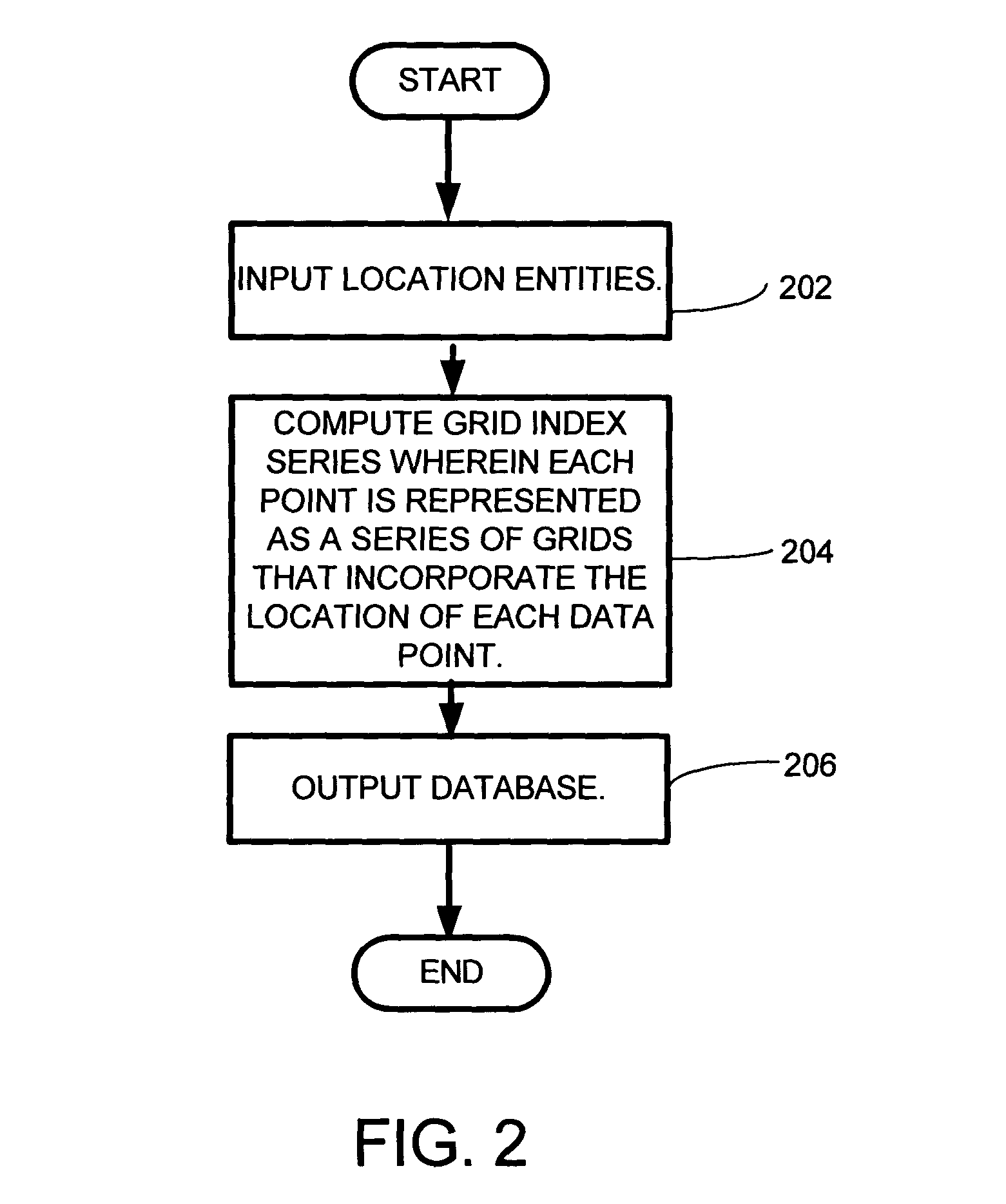
[0010]A grid index is a gridding of an n-dimensional space into a regular partition of the grid space forming grid units, for which for a point in space, x, there is a function index (x), which retrieves a unique integer value for the grid that contains Point x. A hierarchical grid index is effectively a number of grid indices overlaid on the same space, with grid units of different sizes. In this case, each of the functions requires an additional argument which specifies the size of the grid unit to use. Thus, assuming that the grid size, s, is drawn from a set of grid sizes, S, Index (x,s) returns a unique integer value for the grid of size s that contains Point x. Hierarchical indexes are used to enhance the performance of database queries. A query that seeks results from a small grid size, ssmall, does not seek matches at a large grid size, slarge.
[0017]The representation described above conveniently packages 2D lat / long coordinates together with precision, and it can be used to index items in a database with a single 8-byte index. If queries are issued for all of the items in a particular grid, it would be necessary to make multiple queries to retrieve items with location tags that are more precise than the given grid. Querying for all items taken over a large area would be computationally expensive and time consuming. To avoid this, twenty fields (one per grid resolution) are used, each of which represents the location of an item at a particular precision. For a given item with (long, lat) and precision r*, lr is computed, for all r≧r*; and, for r<r*, a value of null is assigned. This scheme allows one to query for all of the items that are known to occur within a particular grid at precision r, with a single, exact-match query over the field representing location at precision r. Note that items whose location-tag precisions are coarser than that queried for will not be returned, even if the grids intersect (this inverts the standard usage of hierarchical grid indexes).
[0018]The system and method according to the invention is advantageous in that it can query very large databases in a fraction of the time it would take to generate a multidimensional query, as would be typical in traditional database schema.

Problems solved by technology

Although modern relational databases perform a variety of algorithmic optimizations to speed up the retrieval of data contained in them, they remain inefficient at particular tasks.
For example, databases are relatively poor at performing range queries over more than a single dimension.
These are queries of the form, “Retrieve all data in which Value X is between x1 and x2, Value Y is between y1 and y2, and Value Z is between z1 and z2.” (Again, modern databases can handle even these types of queries well, if the number of data elements is comparatively small; but as they cannot know the form of the data a priori, they necessarily are designed for generality at the expense of efficiency, and remain inefficient for large amounts of data.)
In certain kinds of queries, it may be useful to retrieve all items taken at the Empire State Building when querying for photos taken in New York City, but the converse may be undesirable—not all photos taken in New York City will be relevant to a query about the Empire State Building.
Querying for all items taken over a large area would be computationally expensive and time consuming.

Method used


Image

  • System and method for employing a grid index for location and precision encoding
  • System and method for employing a grid index for location and precision encoding
  • System and method for employing a grid index for location and precision encoding

Examples


Embodiment Construction

[0029]In the following description of the preferred embodiments of the present invention, reference is made to the accompanying drawings that form a part hereof, and in which is shown by way of illustration specific embodiments in which the invention may be practiced. It is understood that other embodiments may be utilized and structural changes may be made without departing from the scope of the present invention.

1.0 Exemplary Operating Environment

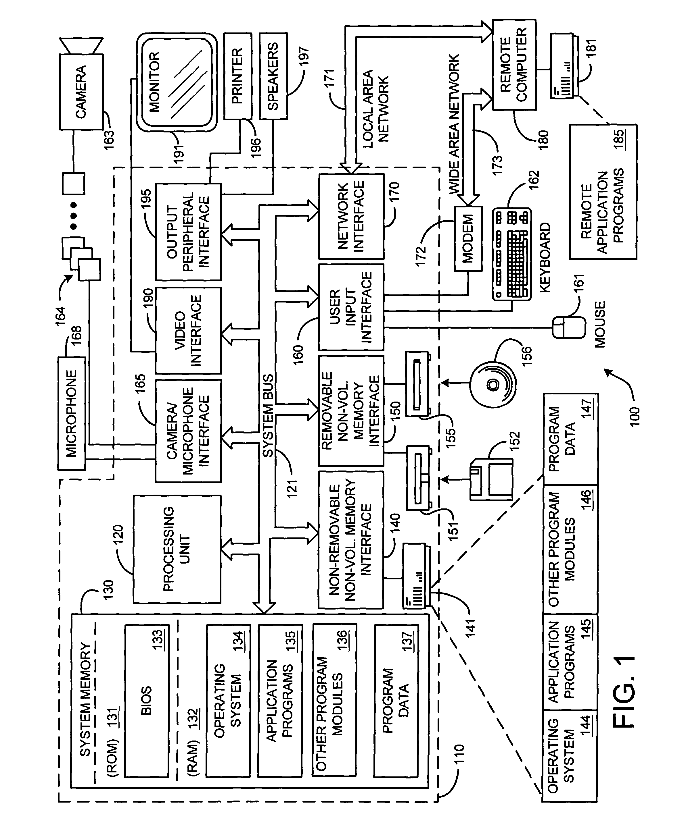
[0030]FIG. 1 illustrates an example of a suitable computing system environment 100 on which the invention may be implemented. The computing system environment 100 is only one example of a suitable computing environment and is not intended to suggest any limitation as to the scope of use or functionality of the invention. Neither should the computing environment 100 be interpreted as having any dependency or requirement relating to any one or combination of components illustrated in the exemplary operating environment 100.

[0031]The inventi...


PUM


Abstract

A system and method for combining the precision estimate of a database entry's coordinate value such that the precision information is included as part of the one-dimensional index. This is done by constructing a hierarchical index in which the size of the grid is related to the precision of the coordinate value. A grid index is a gridding of an n-dimensional space into a regular partition of the grid space into grid units, for which for a point in space, x, there is a function index (x), which retrieves a unique integer value for the grid that contains Point x, and a function coordinate (y, s), which returns a point associated with the index y at scale s. A hierarchical grid index is effectively a number of grid indices overlaid on the same space, with grid units of different sizes. In this case, each of the functions employs an additional argument that specifies the size of the grid unit to use. Thus, assuming that the grid size, s, is drawn from a set of grid sizes, S, Index (x,s) returns a unique integer value for the grid of size s that contains Point x. Hierarchical indexes may be used to enhance the performance of database queries. A query that seeks results from a small grid size, ssmall, does not seek matches at a large grid size, slarge. Similar calculations can be performed for a finite area A.

Description

[0001]This application claims priority under 35 U.S.C. Section 119(e)(1) of provisional application No. 60 / 469,314, filed May 9, 2003.BACKGROUND[0002]1. Technical Field[0003]This invention is directed toward a system and method for location and precision encoding. More specifically, the invention is directed toward a system and method for combining the precision estimate of a database entry's coordinate value such that the precision information is included as part of a one-dimensional index.[0004]2. Background Art[0005]Geographic Information Systems (GIS) are well-organized databases of information catalogued, in part, by their relationship to geography. Often, these databases contain on the order of millions or billions (or more) of data elements, each of which is associated with a particular geographical location. As an example, consider a world-wide photo database, where each photograph is associated with the location where it was taken.[0006]Although modern relational databases ...

Claims


Application Information

Patent Timeline
Patent Type & Authority Patents(United States)
IPC IPC(8): G06F7/00G06F17/00G06F12/00G09B29/00G06F17/30
CPCG06F17/30241G06F17/30442G06F17/30914G06F16/29G06F16/84G06F16/2453H04M1/275H04M2250/12H04M2201/34H04M1/72454
Inventor TOYAMA, KENTAROLOGAN, RON
Owner MICROSOFT CORP
Learn More