
Above-ground building recognition method and navigation method combining laser and infrared
a recognition method and infrared technology, applied in scene recognition, instruments, measurement devices, etc., can solve the problems of difficult task of above-ground building recognition and positioning, unsatisfactory target recognition effect, and undesirable navigation effect in complex ground object background, etc., to achieve a large field of view, high frame frequency, and limited application of atr method
- Summary
- Abstract
- Description
- Claims
- Application Information
AI Technical Summary
Benefits of technology
Problems solved by technology
Method used
Image

Examples
example 1
[0049](1) Take an infrared image of the ground from the air.
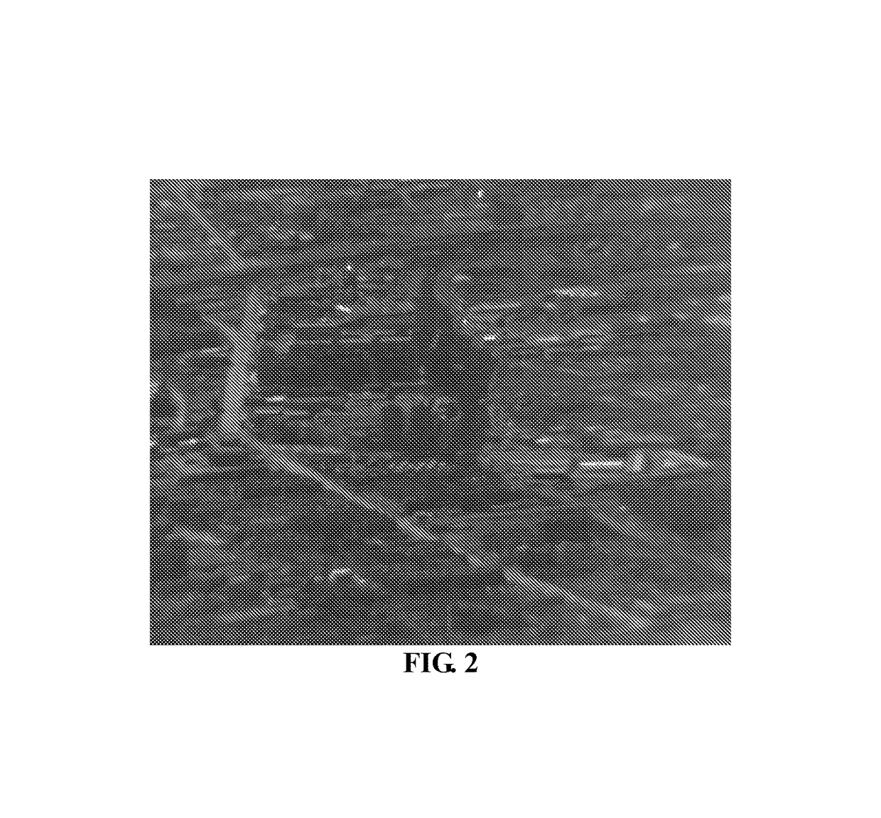
[0050]A real-time infrared image taken from the air by an aircraft at an elevation angle of 3°, at an altitude of 2000 meters, and at a distance of 10220 meters from a target is shown in FIG. 2.
[0051](2) Perform detection and positioning in the infrared image to determine a suspected target.
[0052](2.1) Construct a standard feature library
[0053]Produce multi-scale structural elements of the target, and the structural elements of the target in different scales are shown in FIG. 3.
[0054](2.2) Image enhancement step: perform histogram equalization on an original input image, so as to enhance an image contrast having a slight small dynamic range and increase a dynamic range of a gray value of a pixel, thereby achieving an effect of enhancing an overall contrast of the image.
[0055](2.3) Morphological background suppression: choose a morphological structural element in FIG. 3(A) to perform opening operation on FIG. 2, so as to fil...
example 2
[0118]As an optimization, the present invention further provides a feature of an infrared-imaged suspected target region, which is fused with a shape feature of a laser-imaged suspected target region to form a target matching element. The feature of the infrared-imaged suspected target region is a local contrast of a target potential region. Because a laser image is a three-dimensional range image including geometrical intrinsic information of a target, a laser range image can reflect a shape feature of the target more desirably than an infrared image does. At the same time, the infrared image can relatively desirably reflect a gray difference between the target and a background, and therefore the infrared image can reflect a local contrast of the target potential region relative to a local region of interest more desirably than the laser image does. Therefore, the present invention fuses a local contrast feature of the target potential region of the infrared-imaged suspected target...
PUM
 Abstract
Description
Claims
Application Information