Method for distinguishing ecological function with geographical information systems and remote sensing technique

A geographic information system and ecological function technology, applied in the field of ecological function zoning, can solve the problems of lack of standardized methods and excessive subjectivity of ecological function zoning, and achieve the effect of reducing subjective mistakes

Inactive Publication Date: 2008-01-30
NANJING UNIV
View PDF0 Cites 28 Cited by
  • Summary
  • Abstract
  • Description
  • Claims
  • Application Information

AI Technical Summary

Problems solved by technology

[0005] In order to overcome the problems of excessive subjectivity and lack of standardized methods in current ecological function zoning, the method of the present invention provides a systematic and standardized GIS and RS ecological function zoning method

Method used


Image

  • Method for distinguishing ecological function with geographical information systems and remote sensing technique
  • Method for distinguishing ecological function with geographical information systems and remote sensing technique
  • Method for distinguishing ecological function with geographical information systems and remote sensing technique

Examples


Embodiment Construction

[0041] Below in conjunction with accompanying drawing and example the method of the present invention is described further

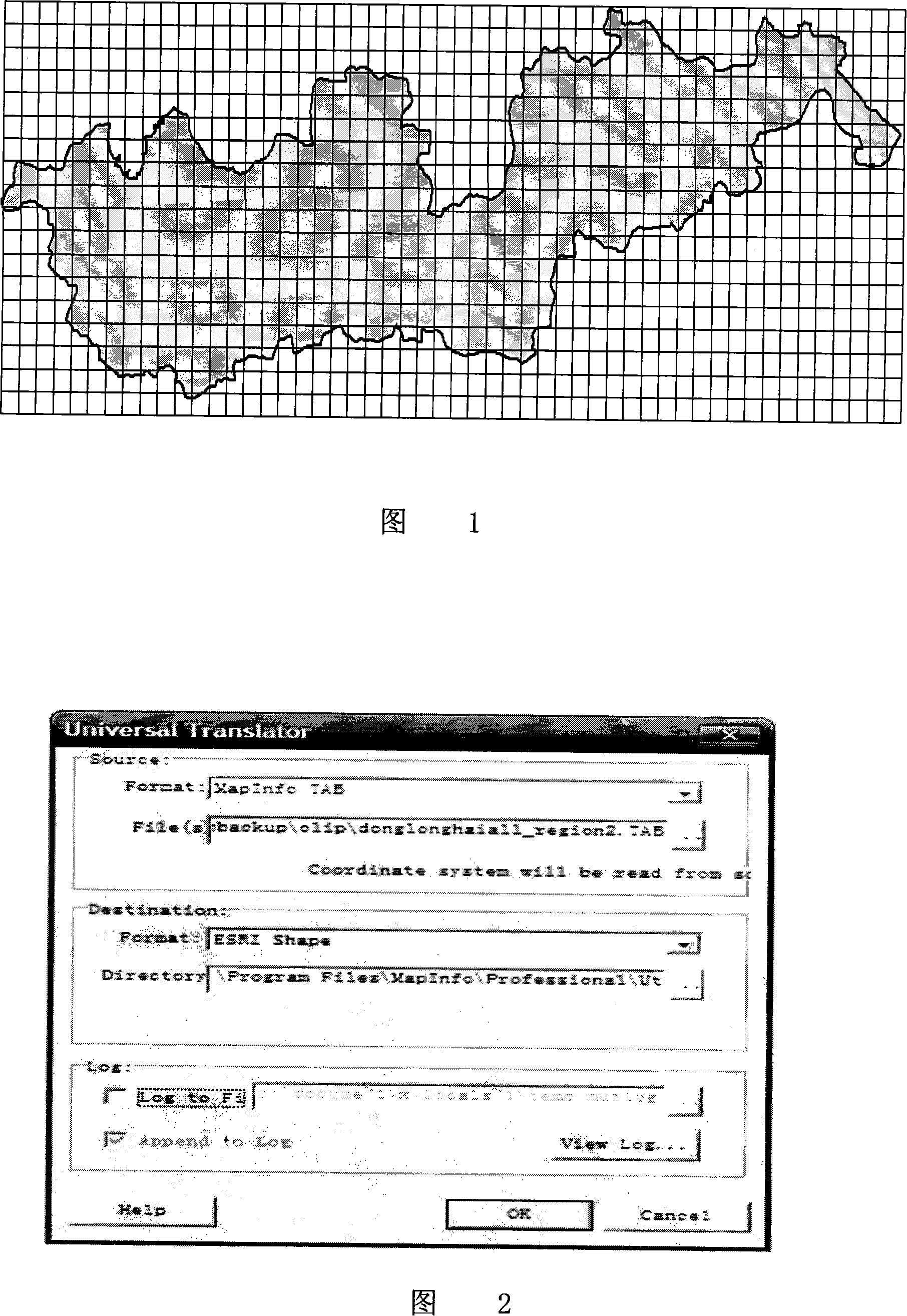
[0042] Using the ecological function zoning along the East Longhai to further explain

[0043] Step 1. Firstly, use the remote sensing data ASTER (Advanced Spaceborne Thermal Radiation and Reflectance Measurement Instrument) and ETM+ (Enhanced Thematic Mapper) remote sensing images in the East Longhai region as data sources, use ENVI software to perform registration correction, noise reduction enhancement, After data fusion processing, a layer with regional landscape and development degree information is output through quantitative interpretation.

[0044] Then use the Query function in Mapinfo to count the proportion of development land in different administrative regions to the total land according to the remote sensing interpretation results, and use it as the development degree value of the corresponding administrative region, input the development d...


PUM


Abstract

The invention discloses a method to divide an ecological function regionalization by using a geological information system and the remote sensing technique, comprising the following steps. The first step is to get an evaluation index information map series; the second step is to do quantitative analysis and evaluation to every evaluation index by using the GIS software; the third step is to comprehensively evaluate the regional ecological function; the fourth step is to regionalize the ecological function. A landscape evaluation index is added to the ecological function regionalization. The real-time geological information data is obtained by using the RS; an attribute value of the evaluation index is calculated and output by using the space analysis and the data processing ability of the GIS software; the evaluation value is batch-computed and classified by using the VBA programming in Excel; finally, the results of the ecological function regionalization can be got by using the GIS software. By the quantitative analysis in the whole process and the normative computer operational calculation, the invention reduces the subjective faults in the normal ecological regionalization method and the objective evaluation results of the ecological function can be generated to get a subjective and reasonable regionalization conclusion.

Description

technical field [0001] This method relates to the field of ecological function zoning, specifically refers to the method of using GIS (Geographic Information System) and RS (Remote Sensing) to carry out ecological function zoning. Background technique [0002] In the ecological function zoning, the existing zoning is mainly based on subjective zoning, and seldom adopts high-tech GIS and RS for quantitative zoning. At present, the ecological function zoning using GIS and RS mostly adopts the superposition method, that is, on the basis of the single element zoning of the ecological environment, the boundary of the superimposed element zoning is determined to determine the basic boundary of the ecological function zoning (Hu Mengchun, Jiang Jianguo, etc. Heihe River Basin Ecology Functional zoning and its protection [J]. Rural Ecological Environment, 2002, 18(1): 1~5.), the technical solution to achieve superimposition is to use GIS means to pass elevation, precipitation contou...

Claims


Application Information

Patent Timeline
Patent Type & Authority Applications(China)
IPC IPC(8): G06F17/00G06F17/30
Inventor 钱瑜戴明忠唐征赵胜豪王亚伟肖微炜陆根法
Owner NANJING UNIV
Why Eureka
Try Eureka