Multi-stage nine-grid locating method of spatial information

A technology of spatial information and positioning method, which is applied in the field of quickly determining the spatial location of geographic elements or events, and collecting and updating, and spatial information positioning. Cost saving, convenient information collection and update

Inactive Publication Date: 2009-11-18
张志刚 +1
View PDF0 Cites 15 Cited by
  • Summary
  • Abstract
  • Description
  • Claims
  • Application Information

AI Technical Summary

Problems solved by technology

Quadtree grid division positioning method based on row and column coding. In practical application, the position coding of this grid positioning method is complex, not intuitive, and does not conform to people's habit of distinguishing orientation. In areas without area boundaries or some special forms , this grid positioning method cannot quickly and accurately locate, which makes it difficult to determine the spatial position and easily leads to misjudgment

Method used


Image

  • Multi-stage nine-grid locating method of spatial information
  • Multi-stage nine-grid locating method of spatial information
  • Multi-stage nine-grid locating method of spatial information

Examples


Embodiment Construction

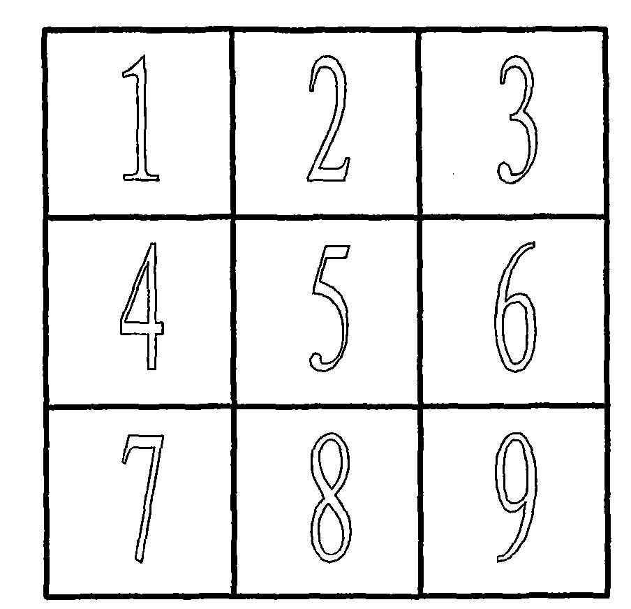
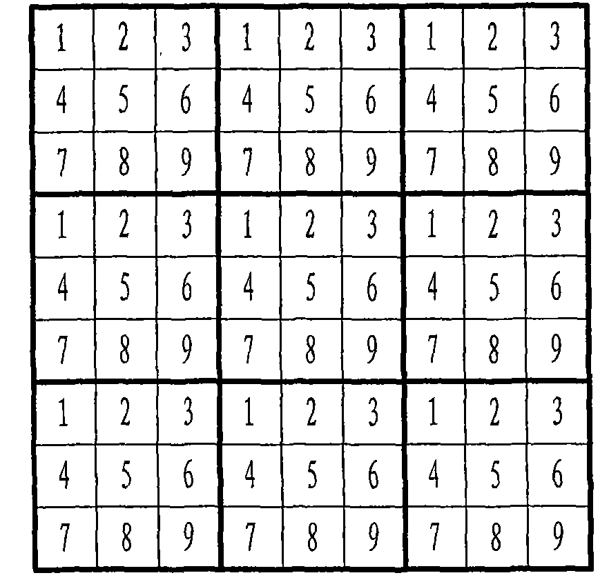
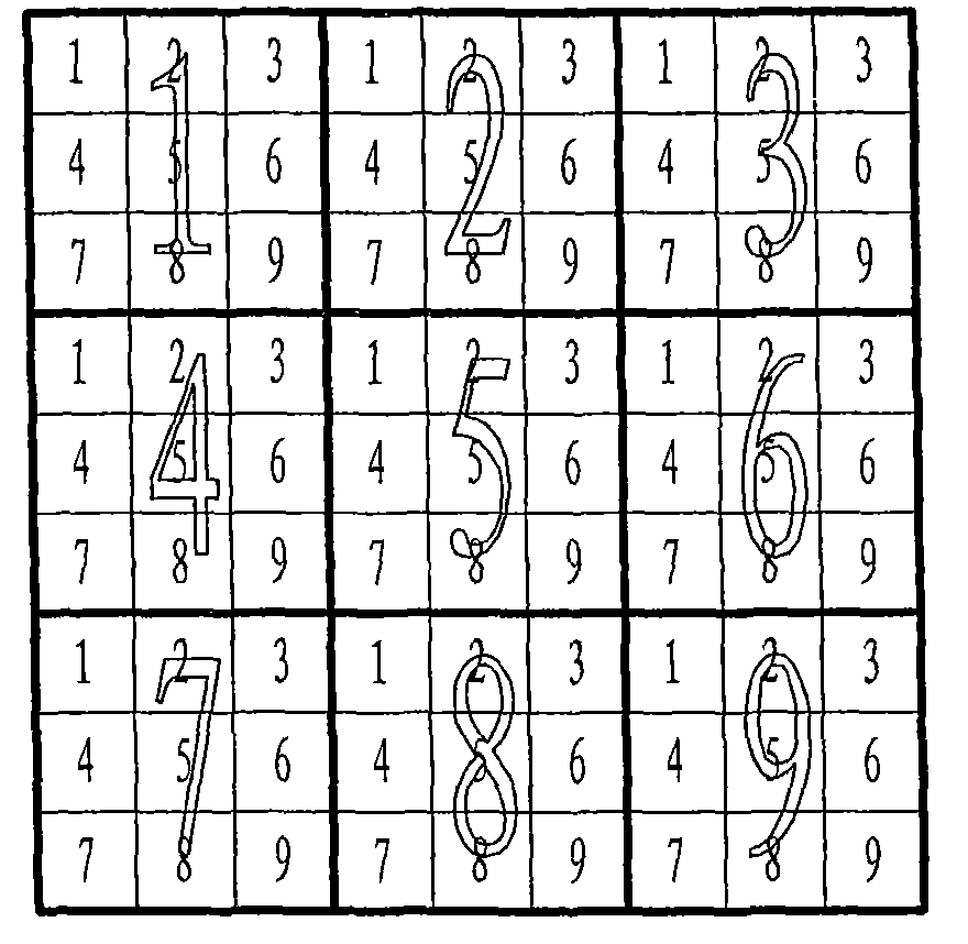
[0021] The geographic grid can be divided according to the latitude and longitude coordinate system (called geographic coordinate grid), or it can be divided according to the rectangular coordinate system (called rectangular coordinate grid). For example: starting from a fixed starting point, the first row-column sub-grid is divided with a fixed sub-grid spacing, and the geographical grid after division is called the basic sub-grid. The basic grid is used as the initial grid, and the multi-level Jiugongge grid is divided on it to form sub-grids at all levels.

[0022] The grid division described in the above steps is a grid division without specific application conditions in consideration of versatility. Based on this basic method, there are two extension methods applicable to different coordinate systems. One is the Cartesian coordinate extension method, which is applicable to One is grid application in local area; the other is geographic coordinate extension method, which is...


PUM


Abstract

The invention discloses a multi-stage nine-grid locating method of spatial information. Firstly, figure orthophotoquad in the target area is made; basic grid partition for the target area is carried out, and then multi-stage nine-grid is drawn in an overlapped mode in the target area, and is respectively called the basic grid, the first-stage nine-grid, the second-stage nine-grid, the third-stage nine-grid and so forth; the nine-grid takes the basic grid as the initial grid, and multi-stage partition is carried out on the basic grid to form each-stage sub-grid; a multi-stage nine-grid code is composed of each-stage nine-grid code where sub-grids are positioned, and certain geographic element or event spatial location in the target area is determined by a grid code; at last, mutual conversion relationship of nine-grid code and space coordinate is established so as to realize multi-stage nine-grid locating of spatial information. The invention has simple code for representing geographic element or event spatial location, is in accordance with location judgment habit of people, ensures information collection to be more convenient and quicker, greatly improves work efficiency and saves cost.

Description

technical field [0001] The invention relates to a method for positioning, collecting and updating spatial information, in particular to a method for quickly determining the spatial location of geographical elements or events, which belongs to the technical field of spatial information processing. Background technique [0002] At present, there are many spatial information positioning methods, such as GPS positioning, traditional image mapping, 10,000-meter unit sub-grid, spatial information grid positioning, etc. When using these positioning methods to locate geographical elements (such as urban components) or events, There are certain defects. [0003] GPS is a satellite positioning and navigation system that can be positioned by point. Although it makes regional map surveying and mapping a self-contained system, handheld GPS devices are more expensive, and this instrument is easily affected by ground objects (mountains, forests, buildings) when used in the field. And envi...

Claims


Application Information

Patent Timeline
Patent Type & Authority Applications(China)
IPC IPC(8): G09B29/10G01S17/89
Inventor 张志刚张维民陈国鹰胡引翠闫利平陶卫江周景会
Owner 张志刚
Why Eureka
Try Eureka