Classification-based high time definition and high space definition remote sensing data quantitative fusing method
A technology with high temporal resolution and high spatial resolution, applied in image data processing, instrumentation, computing, etc., can solve problems such as not considering the inconsistency of internal changes in pixels, and difficult to operate the system
- Summary
- Abstract
- Description
- Claims
- Application Information
AI Technical Summary
Problems solved by technology
Method used
Image
Examples
Embodiment Construction
[0032] The present invention will be described in further detail below in conjunction with the accompanying drawings.
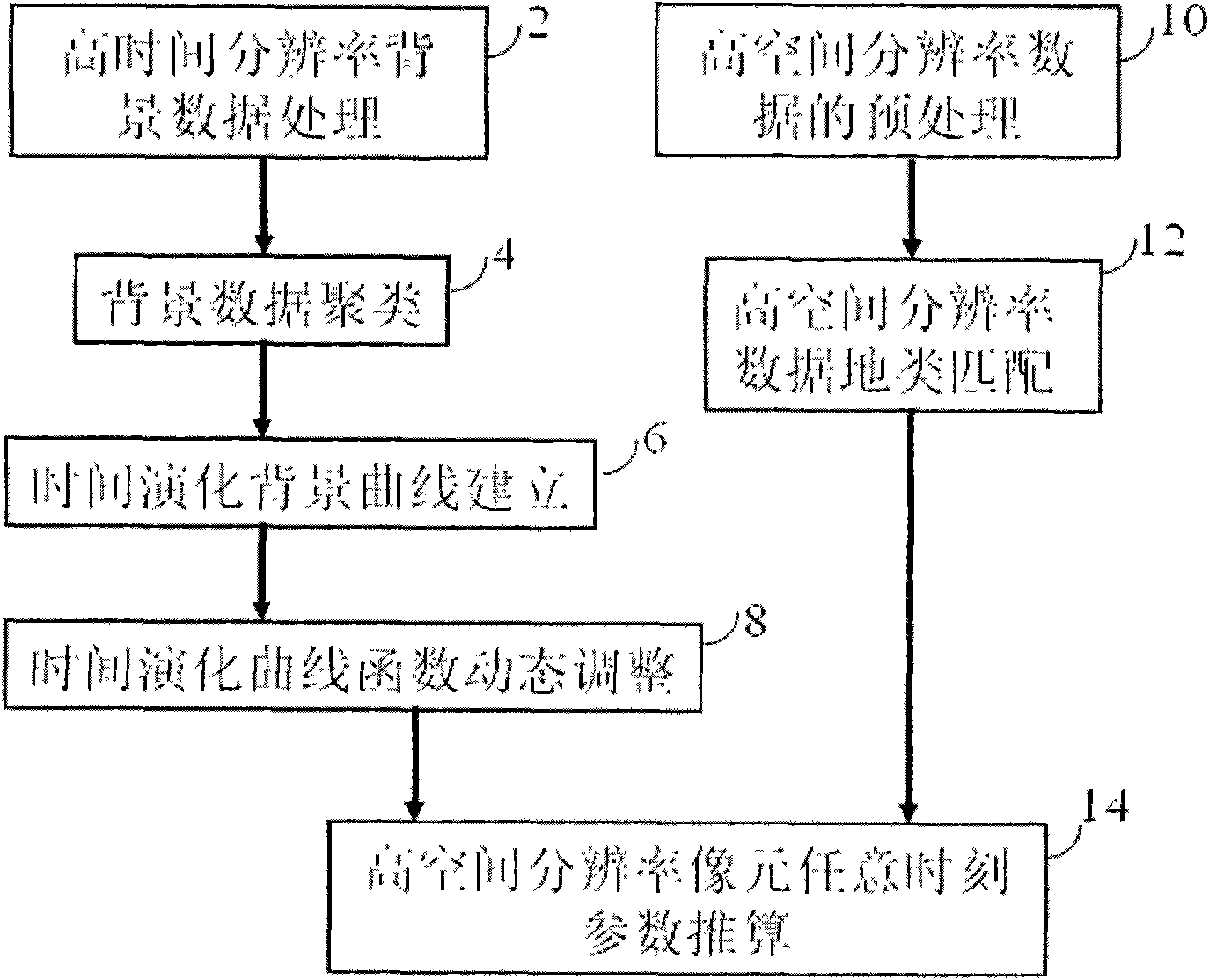
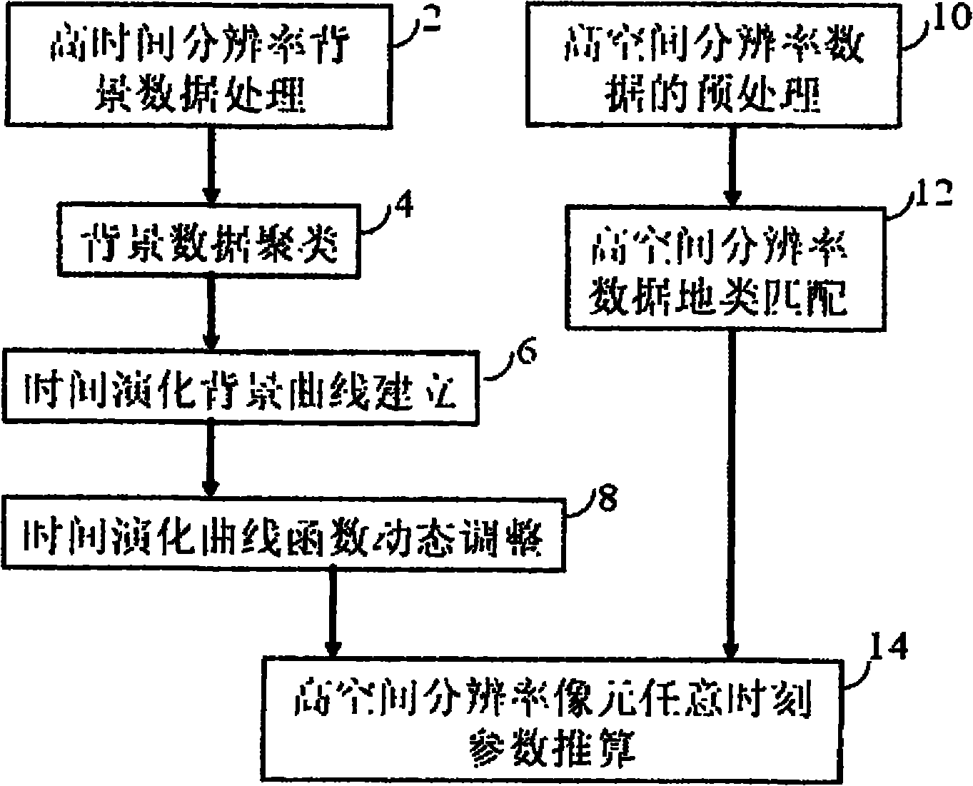
[0033] The flow chart of the quantitative fusion of remote sensing data based on classification with high temporal resolution and high spatial resolution realized by the present invention is as follows: figure 1 shown. figure 1 Including high time resolution background data processing unit 2, background data clustering unit 4, time evolution background curve establishment unit 6, time evolution curve function dynamic adjustment unit 8, high spatial resolution data preprocessing unit 10, high spatial resolution data Terrain type matching unit 12, high spatial resolution pixel parameter estimation unit 14 at any time.
[0034] Unit 2 takes the average value of all non-snow clear-air parameters and reflectance data at the same location at the same time in different years as the background value of the time. If all values are cloud, it is marked as cloud, and ...
PUM
 Abstract
Description
Claims
Application Information
 - R&D
- Intellectual Property
- Life Sciences
- Materials
- Tech Scout
- Unparalleled Data Quality
- Higher Quality Content
- 60% Fewer Hallucinations
Browse by: Latest US Patents, China's latest patents, Technical Efficacy Thesaurus, Application Domain, Technology Topic, Popular Technical Reports.
© 2025 PatSnap. All rights reserved.Legal|Privacy policy|Modern Slavery Act Transparency Statement|Sitemap|About US| Contact US: help@patsnap.com


