
Method for reconstructing outer outline polygon of building based on multivariate data

A multivariate data and building technology, applied in the direction of instruments, character and pattern recognition, computer parts, etc., can solve the problems of lack of detailed information, difficult to identify the outer contour of the building, difficult to locate the boundary contour of the building, etc., and achieve characteristic information. Rich and obvious effect

Inactive Publication Date: 2013-02-20
NANJING UNIV
View PDF7 Cites 44 Cited by
  • Summary
  • Abstract
  • Description
  • Claims
  • Application Information

AI Technical Summary

Problems solved by technology

Because the image data is affected by the reflectivity of ground objects, complex non-uniform illumination, occlusion, shadows, etc., it is difficult to accurately, quickly and effectively identify the outline of buildings only with image data; and although DSM data provides height information of ground objects, it is difficult to Due to the lack of detailed information, DSM data alone can only quickly and roughly locate the building area, but it is difficult to accurately locate the building boundary outline
So far, there is no literature that discloses the use of image data combined with DSM data to extract the outline of buildings

Method used


Image

  • Method for reconstructing outer outline polygon of building based on multivariate data
  • Method for reconstructing outer outline polygon of building based on multivariate data
  • Method for reconstructing outer outline polygon of building based on multivariate data

Examples


Embodiment Construction

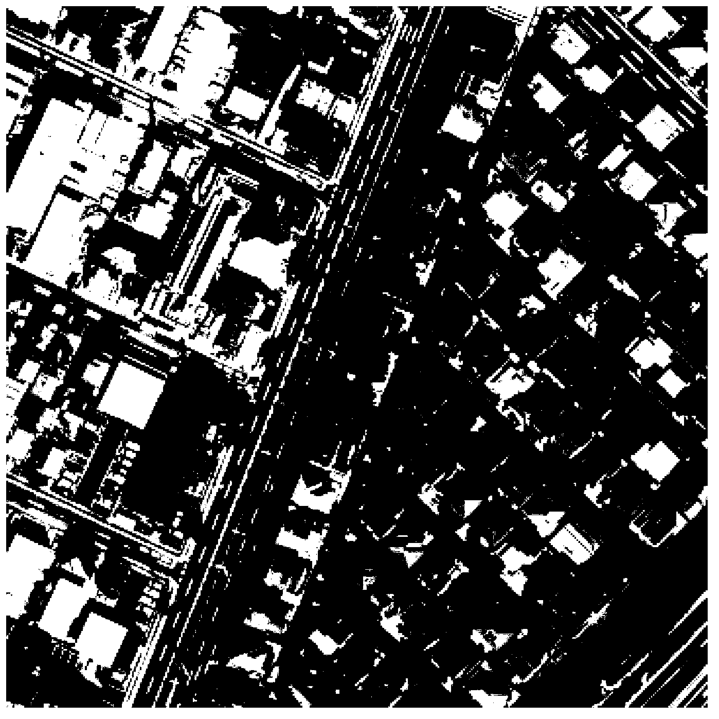
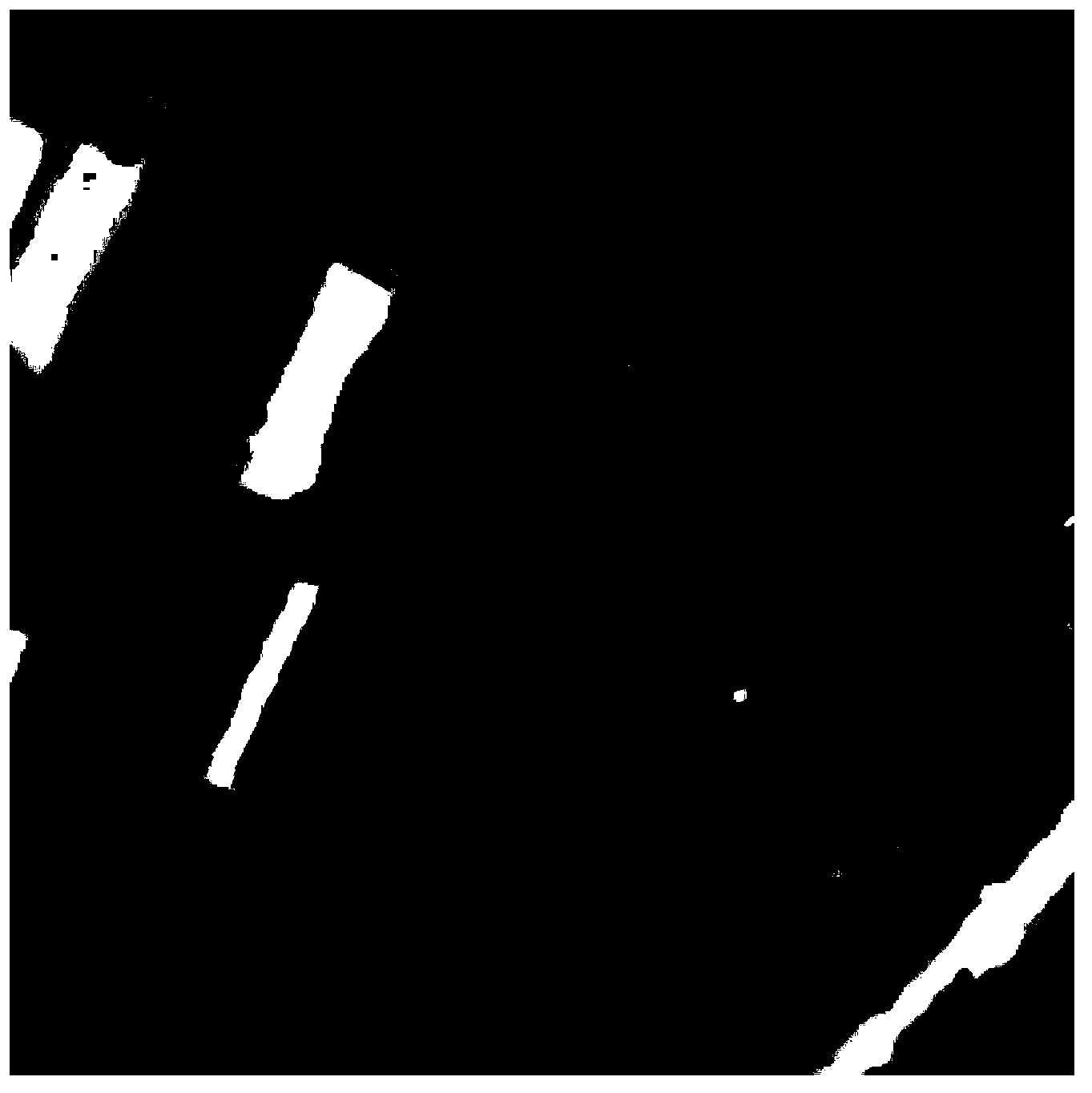
[0044] This example reconstructs the contour polygons of buildings in a residential area in Tokyo, Japan. The image data used is visible light aerial images with a resolution of 0.2m, as shown in the attached figure 1 As shown; the digital surface model data used is the normalized digital surface model (nDSM) data derived from the 0.5m resolution DSM data obtained by the interactive photogrammetry method, as shown in the attached figure 2 shown.

[0045] This example reconstructs the polygonal method of building outline based on multi-source data, including the following steps:

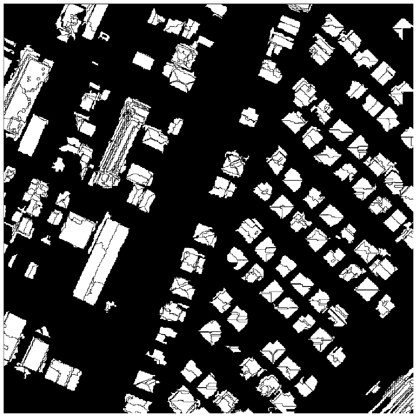
[0046] Step 1. Segmentation of remote sensing images——Segment the DSM data with the control marker watershed to obtain the mask image of the area of ​​interest of the building; perform color image segmentation on the image data to obtain the image segmentation object.

[0047] In this example, the control mark watershed segmentation algorithm in "Building Extraction Based on Digital Surface Model Da...


PUM


Abstract

The invention discloses a method for reconstructing an outer outline polygon of a building based on multivariate data. The method comprises the following steps of: respectively dividing DSM (Design Standards Manual) data and image data so as to obtain a mask image of an interest region of the building and an image dividing object; combining the mask image with the image dividing object so as to obtain a complete building object; carrying out boundary tracing on the building object so as to obtain curves of the building; using points corresponding to local maximum curvature values of the curves as angular points; connecting the angular points in sequence so as to obtain the outline polygon of the building; dividing the building object into regions by using a hierarchical clustering method and calculating the main direction of the building; establishing a linear model of the polygon of the building and correcting and regularizing the linear model of the outline of the building with the combination of the main direction of the building and gradient information of the image data; calculating an intersection point of every two adjacent straight line sections by using the linear model of each line section of the polygon; and by taking the intersection points as the angular points, connecting the angular points in sequence so as to form the final polygon of the building. According to the method, the DSM data is organically combined with the image data, the data are complementary to each other in the whole process, so that the problem of reconstructing the polygon of the outline of the building is solved well, and the method has very strong robustness in the two-dimensional outline modeling aspect of the building.

Description

technical field [0001] The invention relates to a method for reconstructing the outer contour of a building, in particular to a method for reconstructing a polygon of the outer contour of a building based on multivariate data, which belongs to the technical field of computer pattern recognition and restoration. Background technique [0002] The need for building modeling in various GIS applications is constantly increasing. Especially in the study of urban GIS, the detection and reconstruction of buildings is very important. According to Ame ri, many research projects in the past few years have investigated related fields, such as pattern recognition, 3D reconstruction, and representation of building objects. Remote sensing data provide an inexpensive and efficient data source for this need, yet highly automated and robust building modeling methods have not been proposed. Building modeling is usually divided into two stages, the extraction of buildings and the establishmen...

Claims


Application Information

Patent Timeline
IPC IPC(8): G06K9/46G06K9/62
Inventor 李艳汪禹芹吴秀芸
Owner NANJING UNIV
Learn More