

Method for selecting remote sensing data and classification algorithms in crop identification and area estimation
A technology of remote sensing data and classification algorithm, which is applied in the field of crop remote sensing identification, can solve the problems of not giving the theoretical basis and experimental basis for the selection of remote sensing data and classification methods in different crop planting structure areas, and achieve the effect of reducing purchase costs
- Summary
- Abstract
- Description
- Claims
- Application Information
AI Technical Summary
Problems solved by technology
Method used
Image

Examples
Embodiment Construction
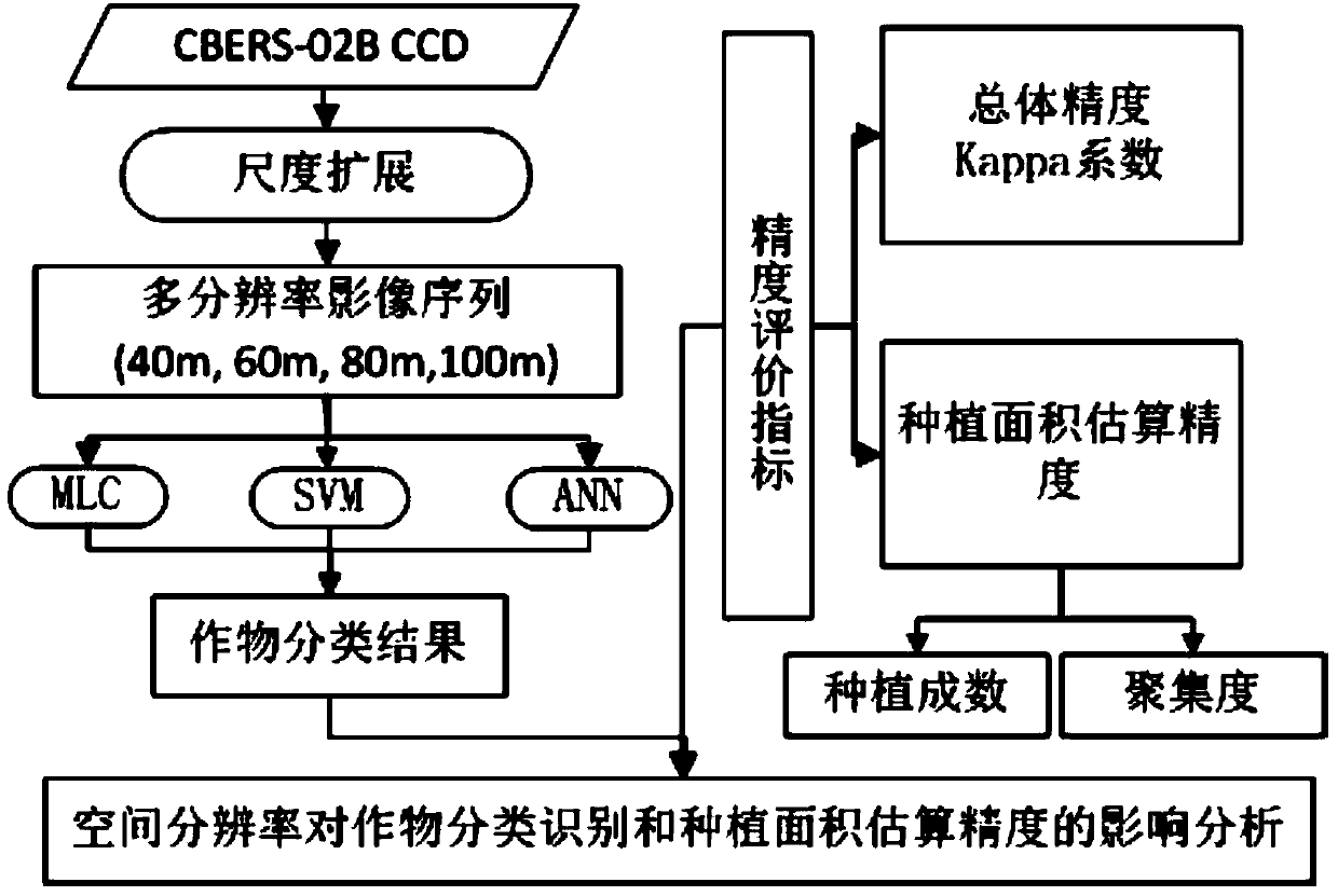
[0029] The present invention will be further described in conjunction with accompanying drawing:
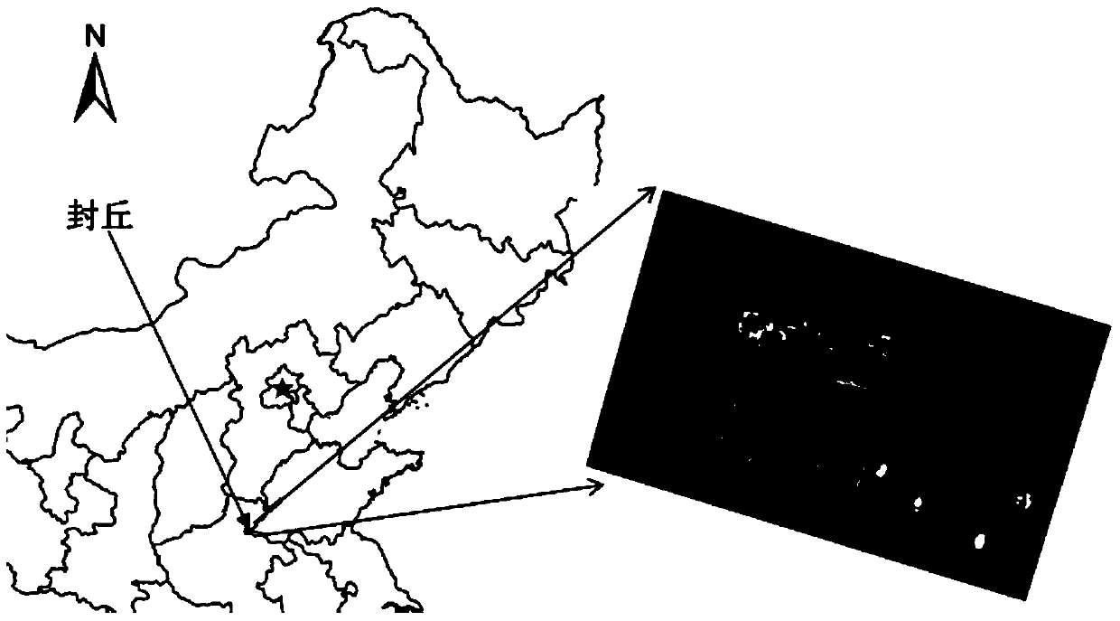
[0030] The experimental area of this embodiment is located in Fengqiu County, Xinxiang City, Henan Province, and the geographical coordinates of the center are 114 °30′E and 35°03′N, size 15km*10km ( figure 1 ). This area belongs to the warm temperate continental monsoon climate zone, with an average annual temperature of 13.9°C and a rainfall of 615.1mm. The rain and heat are in the same period, with abundant light and hot water resources and fertile soil. It is a typical double cropping system a year. The crops mainly include summer corn, soybeans, peanuts, etc. In addition, the economic crop cotton and a unique medicinal honeysuckle are widely planted in this area. The crop planting structure is relatively complex, which is typical of the crop planting system in North China. Summer corn and soybeans in the experimental area are generally planted in mid-June and harvested i...
PUM
 Abstract
Description
Claims
Application Information