Method for spatial distribution of soil erosion investigation units
A unit space and soil erosion technology, applied in soil material testing, material inspection products, etc., can solve the problems of poor accuracy and high survey costs, and achieve the effect of ensuring accuracy and reducing survey costs.
- Summary
- Abstract
- Description
- Claims
- Application Information
AI Technical Summary
Problems solved by technology
Method used
Image
Examples
Embodiment Construction
[0027] Below in conjunction with accompanying drawing, operating principle and working steps of the present invention are further explained:
[0028] The invention provides a method for spatial layout of soil erosion investigation units, which comprises the following steps:
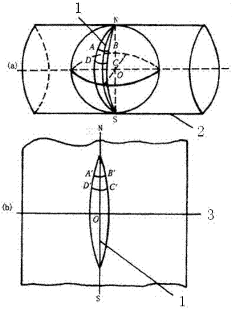
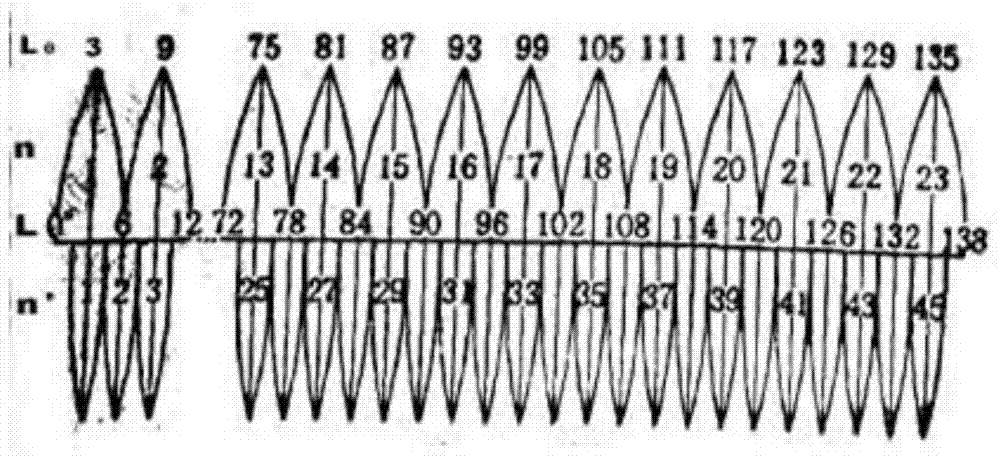
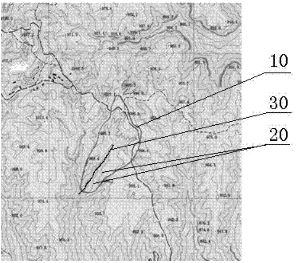
[0029] S1, such as figure 1 and figure 2 As shown, the earth is divided into zones according to the Gauss-Krüger projection zoning method, from the 0-degree meridian of the earth, every 6 degrees of longitude difference from west to east, and the obtained zone numbers are 1st, 2...60 zones The multiple six-degree zones are divided into zones from west to east at intervals of 3 degrees from the earth's 1.5-degree meridian, and multiple three-degree zones, six-degree zones, and three-degree zones are obtained with zone numbers 1, 2...120. The degree zones are marked with different colors, and the central meridian of the third degree zone coincides with the central meridian and subzone meridian of the six...
PUM
 Abstract
Description
Claims
Application Information
 - R&D
- Intellectual Property
- Life Sciences
- Materials
- Tech Scout
- Unparalleled Data Quality
- Higher Quality Content
- 60% Fewer Hallucinations
Browse by: Latest US Patents, China's latest patents, Technical Efficacy Thesaurus, Application Domain, Technology Topic, Popular Technical Reports.
© 2025 PatSnap. All rights reserved.Legal|Privacy policy|Modern Slavery Act Transparency Statement|Sitemap|About US| Contact US: help@patsnap.com


