Check patentability & draft patents in minutes with Patsnap Eureka AI!

Underwater terrain matching method based on sonar image edge angular point histogram

An underwater terrain matching and edge angle technology, which is applied in image analysis, image data processing, instruments, etc., can solve the problem of small area of ​​use, not suitable for long-term, long-distance underwater positioning tasks independently, and expensive maintenance. and other problems to achieve the effect of maintaining reliability

Active Publication Date: 2015-12-30
HARBIN ENG UNIV
View PDF2 Cites 4 Cited by
  • Summary
  • Abstract
  • Description
  • Claims
  • Application Information

AI Technical Summary

Problems solved by technology

Although both can realize the positioning function, due to their inherent defects, such as the cumulative error increases with time, the use area is small and the maintenance cost is expensive, etc., they are not suitable for independently completing long-term and long-distance underwater positioning tasks. Instead, it needs to be periodically corrected by assisted navigation technology

Method used


Image

  • Underwater terrain matching method based on sonar image edge angular point histogram
  • Underwater terrain matching method based on sonar image edge angular point histogram
  • Underwater terrain matching method based on sonar image edge angular point histogram

Examples


Embodiment Construction

[0033] The following describes the present invention in more detail with examples in conjunction with the accompanying drawings:

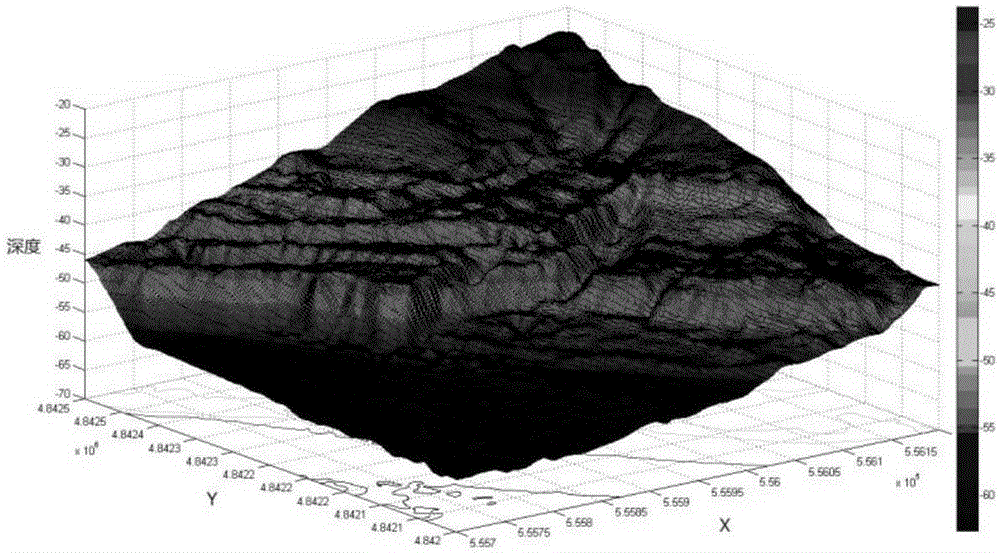
[0034] An underwater terrain matching method based on the histogram of the edge corners of the sonar image, including multi-beam data normalization and interpolation mapping, terrain feature extraction, reference map scanning and positioning. The multi-beam data is normalized and interpolated to form a uniform Spacing the data dot matrix, use the data dot matrix as the gray level of the image to form an underwater terrain image and submit it to the terrain feature extraction algorithm for analysis; terrain feature extraction includes calculating the complexity of the edge corner points corresponding to each gray level of the input image And obtain the corresponding edge corner histogram, and use it as the feature of the terrain; scan the reference map, calculate the similarity of the edge corner histogram of the corresponding position of the real-time ...


PUM


Abstract

The invention relates to the field of digital image processing, in particular to an underwater terrain matching method which is based on a sonar image edge angular point histogram and applied to an underwater submersible vehicle navigation system. The method comprises the steps that 1, normalization and interpolation processing is conducted on original multi-beam data, and a depth value is converted to range from 0 to 255 through linear transformation; 2, a three-dimensional model is projected to an XY plane, and if gray values of all projection points are set to be height values of the projection points in the three-dimensional model, the projection serves as a gray image of an under water terrain; 3, traversing is conducted on all gray levels, the number of pixels on the same gray level is counted, a gray histogram is formed, and the total number of all the pixels on all the gray levels is obtained. According to the underwater terrain matching method based on the sonar image edge angular point histogram, a histogram theory is utilized, analyzing is conducted on all the gray levels of the image, and the defect that a traditional gradation histogram is poor in resolution is overcome; the edge angular point histogram is utilized to serve as an image feature, and positioning is conducted on the position of an underwater vehicle according to a similarity calculation result. On the condition that noise, directional errors and scale variations exist, the reliability of the result can still be kept.

Description

Technical field [0001] The invention relates to the field of digital image processing, in particular to an underwater terrain matching method based on a sonar image edge corner histogram used in an underwater vehicle navigation system. Background technique [0002] In recent years, the world's scientific and technological powers are focusing on research and development of underwater unmanned submersible vehicle technology, and plan to use it as the main tool for exploring and using the ocean. From the current research focus, the underwater navigation technology of the submersible is one of the main technical challenges in this field. [0003] There are two main types of commonly used underwater navigation and positioning methods: one is the navigation method based on acoustics, and the other is the navigation method based on dead reckoning. Although both of them can achieve positioning functions, due to their inherent defects, such as cumulative error growth over time, small area ...

Claims


Application Information

Patent Timeline
IPC IPC(8): G06T7/00
Inventor 卞红雨宋子奇张志刚陈奕名张健刘立昕梁世欣
Owner HARBIN ENG UNIV
Features
  • R&D
  • Intellectual Property
  • Life Sciences
  • Materials
  • Tech Scout
  • Unparalleled Data Quality
  • Higher Quality Content
  • 60% Fewer Hallucinations
Learn More