Emperor penguin population quantity remote sensing estimation method
A technology of emperor penguins and populations, applied in the field of environmental remote sensing applications, achieves the effects of high precision, convenient acquisition, and simple principles
- Summary
- Abstract
- Description
- Claims
- Application Information
AI Technical Summary
Problems solved by technology
Method used
Image
Examples
Embodiment Construction
[0029] The present invention will be described in detail below according to the accompanying drawings, so that the purpose and effect of the present invention will become more obvious.
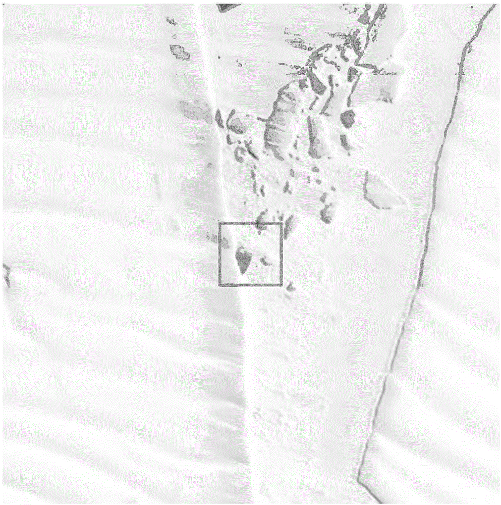
[0030] The image data used in the remote sensing estimation method of emperor penguin population in this example is the Landsat 7 ETM+ image, downloaded from the Landsat website (http: / / landsat.usgs.gov / ), and the longitude and latitude of the center point of the image is -69.6°N, 8.3° W, dated November 16, 2002.
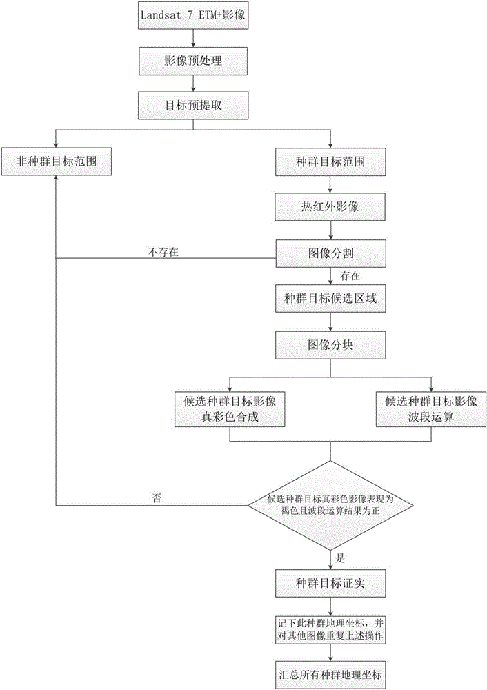
[0031] Such as figure 1 It is the flow chart of this embodiment, and the specific implementation steps of the emperor penguin population number remote sensing estimation method include the following contents:
[0032] The first step is to download the Landsat 7 satellite image collection that meets the conditions of covering the entire coastal zone of the Antarctic continent within a suitable time. The time for downloading remote sensing images is generally in October, November, a...
PUM
 Abstract
Description
Claims
Application Information
 - R&D
- Intellectual Property
- Life Sciences
- Materials
- Tech Scout
- Unparalleled Data Quality
- Higher Quality Content
- 60% Fewer Hallucinations
Browse by: Latest US Patents, China's latest patents, Technical Efficacy Thesaurus, Application Domain, Technology Topic, Popular Technical Reports.
© 2025 PatSnap. All rights reserved.Legal|Privacy policy|Modern Slavery Act Transparency Statement|Sitemap|About US| Contact US: help@patsnap.com


