Contour line generation method and device

A contour and elevation technology, applied in the field of geographic information system, can solve the problem of difficulty in automatically drawing contour lines by computer, and achieve the effect of improving the generation efficiency

Active Publication Date: 2016-11-09
武汉瑞得信息科技有限责任公司
View PDF11 Cites 17 Cited by
  • Summary
  • Abstract
  • Description
  • Claims
  • Application Information

AI Technical Summary

Problems solved by technology

In addition, according to the customary requirements of the map, the contour line needs to be disconnected when encountering ground objects, notes, etc., which brings great difficulties to the automatic drawing of the contour line by the computer

Method used


Image

  • Contour line generation method and device
  • Contour line generation method and device
  • Contour line generation method and device

Examples


Embodiment

[0049] A method for contour line generation, comprising:

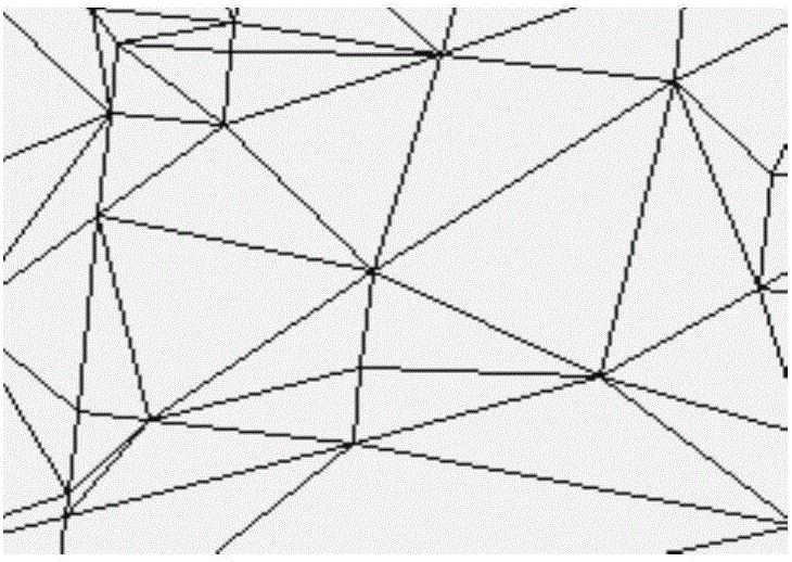
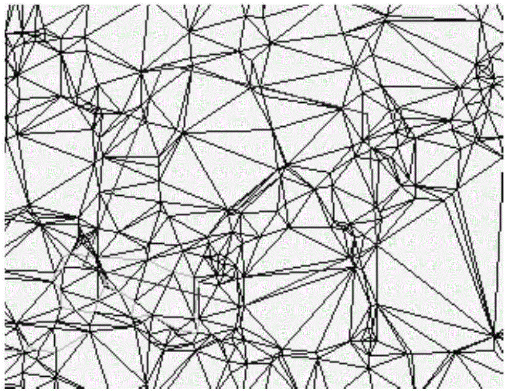
[0050] Step 1. Generate contour lines, confirm the scale and contour distance, read in the point file of the image to be processed, and automatically construct a network according to the existing elevation points in the image. In the network type, select blue as the edge of the ordinary triangulation network , red and green are limited edges, where the limited edge is the restricted edge, the difference between it and the common edge is that it cannot be exchanged, and the limited edge is the edge designated for the necessary disconnection of ground features; Contour tracking is carried out after the net; before the contour line is tracked, the triangulation is properly trimmed, including:

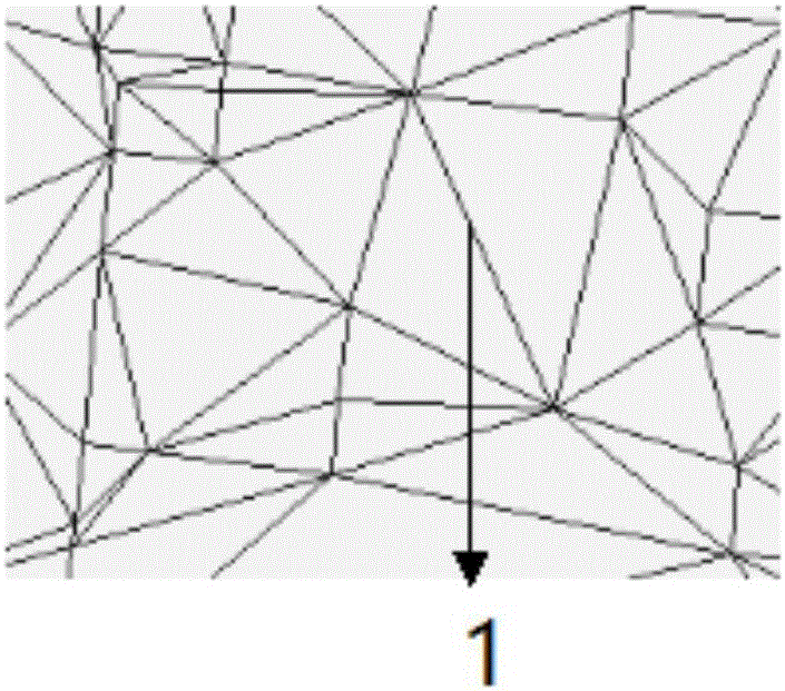
[0051] Step 101, when performing triangular network construction, if a certain angle of the triangle>=135 degrees, it is easy to cause distortion of the contour line at this place, thus affecting the data accuracy. In order to avoi...


PUM


Abstract

The invention relates to a contour line generation method and device, and belongs to the field of the geographic information system. Firstly a digital elevation model based on a Delaunay triangulation network is established, and the form of the network shape is improved; then the network shape is corrected according to various terrain lines, fracture lines and surface feature symbols so that a DTM is ensured to restore the original terrain according to the actually measured data to the greatest extent; then the contour line is tracked according to the accurate DTM so that the accuracy of the contour line is guaranteed; and finally the curve polygon boundary of the contour line for the surface feature symbols is disconnected so that the problem of disconnection processing of meeting of the contour line and the surface features, especially overlapping features and large area features, can be greatly solved. The established DTM can be used for tracking the contour line and can also be used for the field of earthwork and stonework computation and section processing and engineering design. Therefore, the elevation model is also established in slopes and roads and other areas with no requirement for drawing the contour line.

Description

technical field [0001] The invention relates to a method and device for generating contour lines, belonging to the field of geographic information systems. Background technique [0002] In topographic maps, an important means of representing landform relief is contour lines. In conventional planar mapping, contour lines are manually drawn in the field. In the automatic drawing, the algorithm for the computer to automatically draw the contour line is quite complicated, and it is also one of the difficulties of the automatic drawing system. It first needs to establish a digital elevation model, that is, to network the irrelevant discrete points collected in the field, that is, to establish the connection between the corresponding discrete points, and then directly interpolate on the network model to draw the contour. Lines (also known as contour lines). [0003] The contour line in the map is different from other general contour maps. It requires high precision. At the same ...

Claims


Application Information

Patent Timeline
Patent Type & Authority Applications(China)
IPC IPC(8): G06T17/05G06T17/20
CPCG06T17/05G06T17/20G06T2210/04
Inventor 胡正茂赖松翟斌斌杜建设袁东邱文召
Owner 武汉瑞得信息科技有限责任公司
Why Eureka
Try Eureka