Geological surface three-dimensional reconstruction method based on sparse profile geological contours
A technology of 3D reconstruction and contour lines, which is applied in 3D modeling, image data processing, instruments, etc., to achieve high efficiency, simple calculation, and the effect of solving the problem of excessive grid size.
- Summary
- Abstract
- Description
- Claims
- Application Information
AI Technical Summary
Problems solved by technology
Method used
Image
Examples
Embodiment Construction
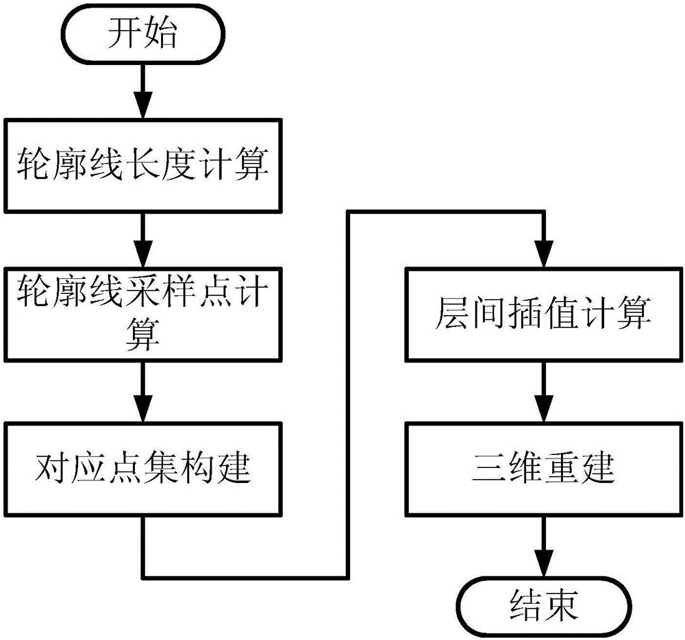
[0030] The basic idea of the present invention is: firstly sample the contour line of the geological layer on a certain section, obtain the sampling points on the contour line, and ensure that the number of sampling points on the contour line belonging to the same geological layer on each section is consistent at the same time, construct a corresponding Then, linear interpolation is performed on each corresponding point set to construct interlayer interpolation points; finally, three-dimensional reconstruction is carried out, and the reconstruction method is to connect adjacent sampling points and adjacent corresponding points with straight line segments, which are divided into Triangles, quadrilaterals and n (n is greater than or equal to 3 and n is not equal to 4) are deformed, and quadrilaterals are divided into triangular networks according to the principle of the shortest diagonal. For n>4 n-gons, the adjacent sampling point connections are used The midpoint is connected...
PUM
 Abstract
Description
Claims
Application Information
 - R&D
- Intellectual Property
- Life Sciences
- Materials
- Tech Scout
- Unparalleled Data Quality
- Higher Quality Content
- 60% Fewer Hallucinations
Browse by: Latest US Patents, China's latest patents, Technical Efficacy Thesaurus, Application Domain, Technology Topic, Popular Technical Reports.
© 2025 PatSnap. All rights reserved.Legal|Privacy policy|Modern Slavery Act Transparency Statement|Sitemap|About US| Contact US: help@patsnap.com


