
Method and system for meter location based on fusion of reverse RTD and pedestrian dead reckoning

A dead reckoning and positioning method technology, applied in the field of global navigation satellite system satellite positioning, can solve problems such as unable to locate normally, difficult to stabilize satellites, etc.

Active Publication Date: 2017-08-11
南京凌远时空科技有限公司
View PDF5 Cites 7 Cited by
  • Summary
  • Abstract
  • Description
  • Claims
  • Application Information

AI Technical Summary

Problems solved by technology

However, even so, the reverse RTD based on pseudorange cannot be positioned normally under the condition of insufficient number of observation satellites. , it is also difficult to receive more than 5 satellites for positioning stably

Method used


Image

  • Method and system for meter location based on fusion of reverse RTD and pedestrian dead reckoning
  • Method and system for meter location based on fusion of reverse RTD and pedestrian dead reckoning
  • Method and system for meter location based on fusion of reverse RTD and pedestrian dead reckoning

Examples


Embodiment 2

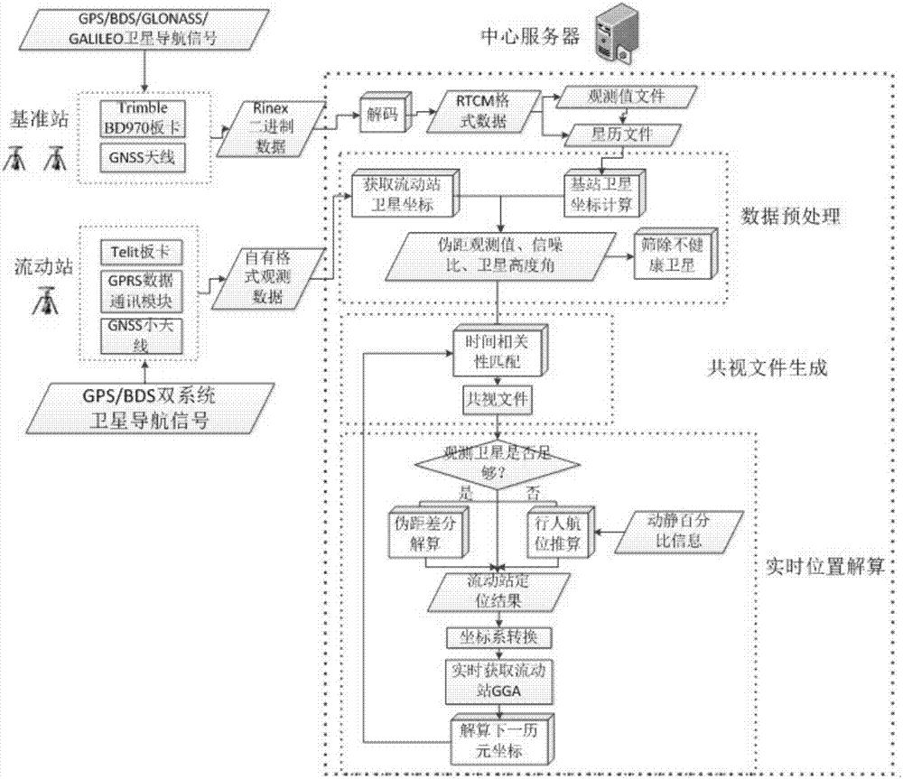
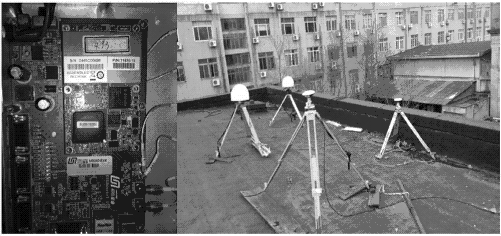
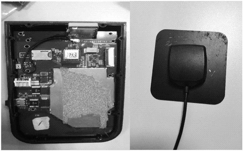
[0101] Embodiment 2 discloses a meter-level positioning system based on the fusion of reverse RTD and dead reckoning, using the above-mentioned meter-level positioning method, including a reference station, a rover station, and a data processing center; wherein: the reference station includes a satellite signal receiver and a GNSS antenna , the base station and the central server use Socket two-way interface communication, the communication protocol is TCP protocol, according to the fixed IP and port number of the base station, the RINEX binary data received by the base station can be obtained in real time; the rover includes a single-frequency receiver, GNSS antenna and GPRS data communication module, the mobile station uploads the GNSS original observation data of the single-frequency receiver to the central server through the private network or public network 4G / 3G / 2G data communication; the central server is used for data transmission, data decoding, data preprocessing, Dif...


PUM


Abstract

The present invention discloses a method for meter location based on fusion of the reverse RTD (Real Time Differential) and the pedestrian dead reckoning. The method comprises the following steps: a central server performs real-time decoding of RINEX binary data uploaded by a base station to perform base station satellite position calculation and obtain the observation satellite coordinates of a current epoch; the received original observation data uploaded by a moving station and the decoding data of the base station are subjected to data preprocessing; the time correlations of the observation epochs of the base station and the moving station are matched, pseudo-range difference location or difference is selected according to a matching result to calculate the coordinates of the moving station, and the meter location precision is obtained; and the obtained three-dimensional coordinates of the moving station are converted to a BLH, a standard GGA is generated, and the real-time continuous location of the moving station is completed. Further, the present invention provides a system for meter location based on the method provided by the invention. The method and system for meter location based on fusion of reverse RTD and pedestrian dead reckoning can realize continuous real-time location of the moving station in a complex environment and obtain meter location precision.

Description

technical field [0001] The present invention relates to a global navigation satellite system (GNSS) satellite positioning method, in particular to a satellite positioning method and system in which reverse real-time dynamic code phase difference technology (Real Time Differential, RTD) and pedestrian dead reckoning are integrated. Background technique [0002] With the development of mobile communication technology, network technology and surveying and mapping technology, value-added information services related to location have become the main component of modern geographic information industry, and gradually become the biggest growth point. Location Based Services (LBS) is to obtain the location information (latitude and longitude coordinates) of mobile terminal users through the network of telecom mobile operators (such as GSM network and CDMA network), and provide corresponding services for users with the support of electronic map platform It is a product of the fusion o...

Claims


Application Information

Patent Timeline
Patent Type & Authority Applications(China)
IPC IPC(8): G01S19/47
Inventor 闫志跃胡惠卿朱柏青喻国荣
Owner 南京凌远时空科技有限公司
Learn More