Geographic information opportunity routing protocol of wireless sensor network
A wireless sensor and geographic information technology, applied in wireless communication, network topology, power management, etc., can solve the problems of not fully considering the energy consumption of network nodes and the unsatisfactory network life cycle.
- Summary
- Abstract
- Description
- Claims
- Application Information
AI Technical Summary
Problems solved by technology
Method used
Image
Examples
Embodiment Construction
[0033] The present invention will be further elaborated below in combination with specific embodiments.
[0034] Network Settings and Division
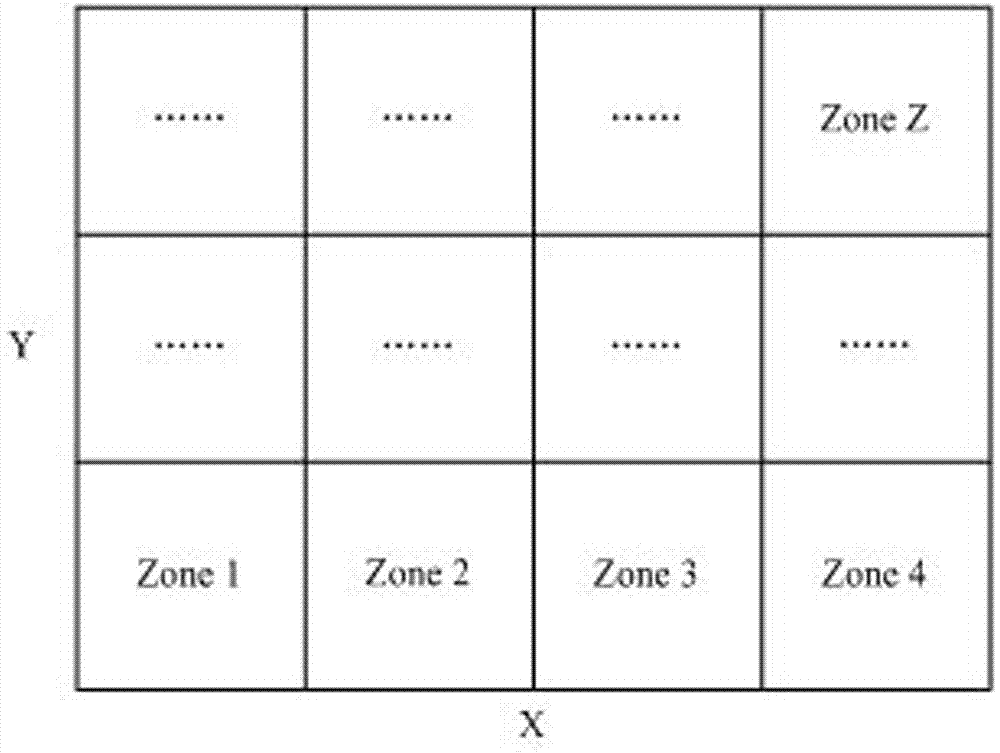
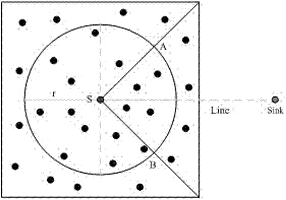
[0035] Randomly deploy n nodes in the two-dimensional plane, and each node has enough neighbor nodes for communication. The communication radius of the nodes is r, and they know their own geographical location information and the geographical location information of the destination node. In order to select nodes in a suitable area for relay forwarding, we first divide the network area. Set the area of the network area as S, and X and Y are the length and width respectively. R is the side length of a divided area, and satisfies mod(X,R)=mod(Y,R)=0, such as figure 1 . The nodes in each divided area know the position information of the four vertices in the divided area. When a node needs to forward data, it will establish a forwarding area for data forwarding.
[0036] Forwarding area determination
[0037] When the source node ...
PUM
 Abstract
Description
Claims
Application Information
 - R&D
- Intellectual Property
- Life Sciences
- Materials
- Tech Scout
- Unparalleled Data Quality
- Higher Quality Content
- 60% Fewer Hallucinations
Browse by: Latest US Patents, China's latest patents, Technical Efficacy Thesaurus, Application Domain, Technology Topic, Popular Technical Reports.
© 2025 PatSnap. All rights reserved.Legal|Privacy policy|Modern Slavery Act Transparency Statement|Sitemap|About US| Contact US: help@patsnap.com


