
Method and system for collecting geographic information data

A geographic information data and data acquisition technology, applied in the field of geographic information surveying and mapping, can solve problems such as multiple types of image data sources, difficulty in understanding or memorizing by operators, and difficulty in manual interpretation and classification, so as to improve cognitive ability and improve Effects on work efficiency and data acquisition accuracy

Pending Publication Date: 2018-12-21
宁夏回族自治区自然资源信息中心
View PDF5 Cites 3 Cited by
  • Summary
  • Abstract
  • Description
  • Claims
  • Application Information

AI Technical Summary

Problems solved by technology

However, for a large-scale project, such as the second national land use survey, the confirmation of rural contracted management rights, the first national geographic survey, etc., there are many technical regulations for data collection, supplementary technical regulations, and operating specifications, and operators need to It is difficult to fully understand or memorize; at the same time, there are many types of image data sources involved, the division of land types / elements is different from the past, and it is difficult to manually interpret and classify

Method used


Image

  • Method and system for collecting geographic information data
  • Method and system for collecting geographic information data

Examples


Embodiment Construction

[0029] In order to make the objects and advantages of the present invention clearer, the present invention will be further described in detail below in conjunction with the examples. It should be understood that the specific embodiments described here are only used to explain the present invention, not to limit the present invention.

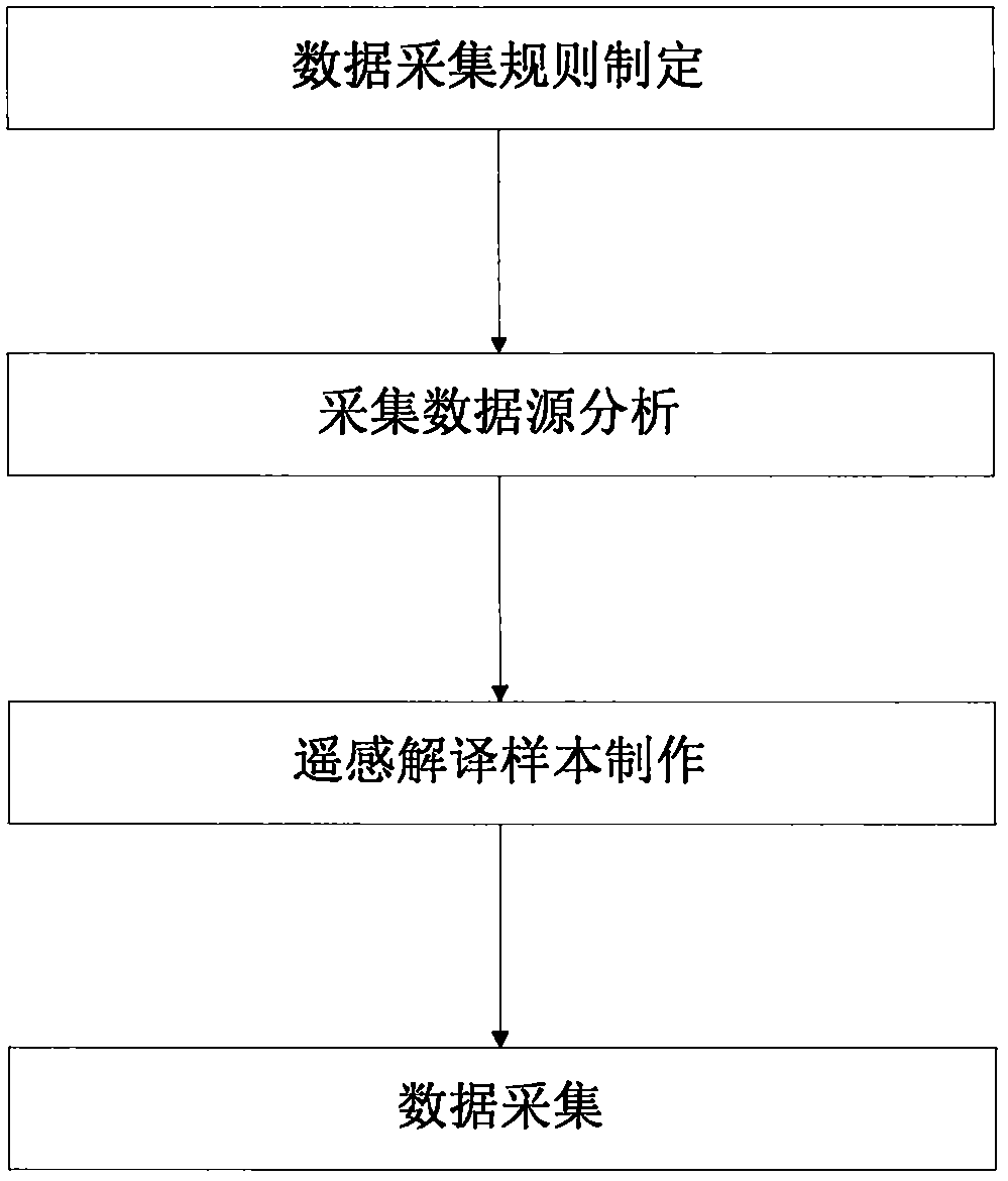
[0030] Such as figure 1 As shown, the embodiment of the present invention provides a kind of geographic information data collection method, comprises the following steps:

[0031] S1. Obtain satellite remote sensing, aerial remote sensing or ground remote sensing data, and process the original data to generate orthophoto data and metadata that meet the accuracy requirements, and at the same time / obtain other orthophoto data sources that meet the production accuracy and time phase requirements ;

[0032] S2. According to the project implementation plan or relevant data collection technical specifications, formulate data collection technical rul...


PUM


Abstract

A method and system for collect geographic information data The system includes data acquisition module, data acquisition rule generation module, data analysis and division module, remote sensing interpretation sample data generation module, collection sample generation module, data acquisition rule management module, data query module, land class / element attribute error automatic identification module, data quality inspection assistant module and depth learning module. Compared with the traditional data acquisition method, By giving full play to the role of remote sensing in interpreting sample data, the rules of data collection and the examples of data collection can be viewed in real time to improve the cognitive ability of the operators, and at the same time, the requirements of data collection can be conveniently consulted, especially for the newly-developed large-scale census projects involving geographic information data collection.

Description

technical field [0001] The invention relates to the field of geographic information surveying and mapping, in particular to a geographic information data collection method and system. Background technique [0002] Existing data collection and editing platform software such as ARCGIS, feature station, CASS, etc., can perform functions such as data collection, editing and data management. However, for a large-scale project, such as the second national land use survey, the confirmation of rural contracted management rights, the first national geographic survey, etc., there are many technical regulations for data collection, supplementary technical regulations, and operating specifications, and operators need to It is difficult to fully understand or remember; at the same time, there are many types of image data sources involved, and the division of land types / elements is different from the past, and it is difficult to manually interpret and classify. Contents of the invention...

Claims


Application Information

Patent Timeline
Patent Type & Authority Applications(China)
IPC IPC(8): G06F17/30
Inventor 王立刚张海中李军虎何永建孟强
Owner 宁夏回族自治区自然资源信息中心
Learn More