A multispectral remote sensing image unsupervised change detection method based on information expansion
A multi-spectral image and change detection technology, applied in the field of multi-spectral remote sensing image processing, can solve the problems of difficulty in obtaining training samples, interference, inconsistency of spatial positions between bands, etc.
- Summary
- Abstract
- Description
- Claims
- Application Information
AI Technical Summary
Problems solved by technology
Method used
Image
Examples
Embodiment
[0072] 1. Experimental data
[0073] Sardinia dataset:
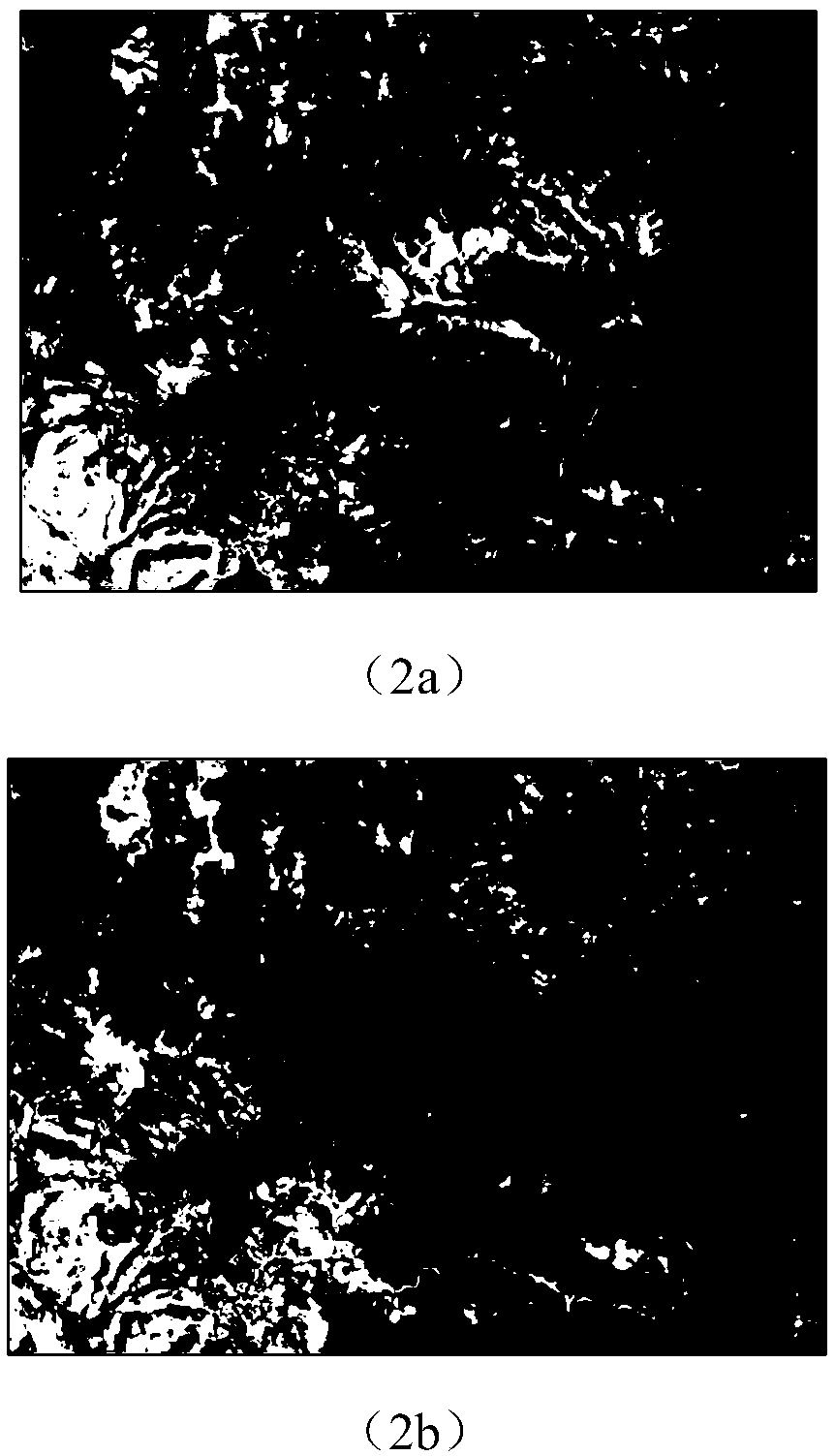
[0074] The first set of real remote sensing datasets was in September 1995 (X 1 ) and June 1996 (X 2 ) are two-temporal Landsat5TM images acquired in Sardinia, Italy. The size of the image is 412×300 pixels, after radiometric correction and geometric registration, the experiment uses six spectral bands (bands 1-5, 7). The data includes variations such as open pit quarries (C 1 ) and incinerators (C 2 ) area expansion and due to the Mulargia Lake (C 3 ) Three changes in water area expansion caused by rising water level. The false-color images of the front and back phases are shown in Figures (2a) and (2b).
[0075] Yancheng Dataset:
[0076] The second set of real remote sensing datasets is May 2006 (X 1 ) and April 2007 (X 2 ) hyperspectral EO-1 Hyperion remote sensing images of farmland in the coastal wetland area acquired in Yancheng City, Jiangsu Province, China. Select a sub-region in the original image with...
PUM
 Abstract
Description
Claims
Application Information
 - R&D
- Intellectual Property
- Life Sciences
- Materials
- Tech Scout
- Unparalleled Data Quality
- Higher Quality Content
- 60% Fewer Hallucinations
Browse by: Latest US Patents, China's latest patents, Technical Efficacy Thesaurus, Application Domain, Technology Topic, Popular Technical Reports.
© 2025 PatSnap. All rights reserved.Legal|Privacy policy|Modern Slavery Act Transparency Statement|Sitemap|About US| Contact US: help@patsnap.com


