
Wetland vegetation information analysis method, remote sensing monitoring assembly and monitoring method

A technology of wetland vegetation and analysis methods, applied in photogrammetry/video metrology, measuring devices, surveying and navigation, etc.

Pending Publication Date: 2019-04-30
CHINA UNIV OF GEOSCIENCES (BEIJING)
View PDF2 Cites 12 Cited by
  • Summary
  • Abstract
  • Description
  • Claims
  • Application Information

AI Technical Summary

Problems solved by technology

Many existing achievement tables show the important role of remote sensing technology in wetland monitoring, but it should also be pointed out that there are still many problems to be solved in these studies: such as how to classify the application content of wetland remote sensing, and the application of wetland remote sensing research. Macro issues such as the causes of existing problems; and specific issues such as how to interpret and extract the boundaries of coastal wetlands, and quantitatively set wetland ecological index elements

Method used


Image

  • Wetland vegetation information analysis method, remote sensing monitoring assembly and monitoring method
  • Wetland vegetation information analysis method, remote sensing monitoring assembly and monitoring method
  • Wetland vegetation information analysis method, remote sensing monitoring assembly and monitoring method

Examples


Embodiment Construction

[0073] The technical solutions in the embodiments of the present invention will be clearly and completely described below in conjunction with the accompanying drawings in the embodiments of the present invention. Obviously, the described embodiments are only some of the embodiments of the present invention, not all of them. Based on the embodiments of the present invention, all other embodiments obtained by persons of ordinary skill in the art without creative work all belong to the protection scope of the present invention.

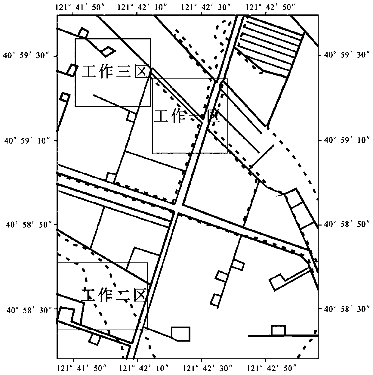
[0074] Such as Figure 12 Shown the present invention provides a kind of analysis method of wetland vegetation information, comprises the steps:

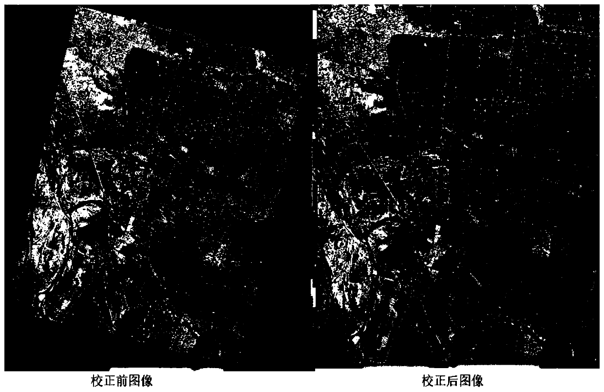
[0075] Step 100, preprocessing the remote sensing images of wetland vegetation, and obtaining measured data through field investigation and unmanned aerial vehicle technology;

[0076] Step 200, using a variety of remote sensing image classification methods to classify the remote sensing image, and the spatia...


PUM


Abstract

The invention discloses a wetland vegetation information analysis method, which comprises the following steps: step 100, preprocessing a remote sensing image of wetland vegetation collected by a satellite, and obtaining actually measured data; Step 200, performing classification processing on the remote sensing images by using various remote sensing image classification methods; Step 300, calculating the classification precision of each remote sensing image classification method, and determining the goodness of fit between the remote sensing image and the measured data; Step 400, comprehensively determining an optimal remote sensing image classification method according to the classification precision and the goodness of fit; Step 500, selecting a clustering processing method to carry outdefect processing on the classified remote sensing images; Satellite remote sensing image data in previous years is used as an analysis object; the satellite remote sensing image data are compared with the measured data, the satellite remote sensing image data are processed by using different classification methods, and the classification precision of various classification methods is obtained through calculation, so that the optimal classification method is selected, and the spatial distribution pattern of the vegetation and the vegetation distribution condition change can be obtained.

Description

technical field [0001] The invention relates to the technical field of wetland vegetation information, in particular to a wetland vegetation information analysis method, a remote sensing monitoring component and a monitoring method. Background technique [0002] The wetland ecosystem is one of the most important living environments for human beings. It is a multifunctional ecosystem with rich biodiversity. The wetland ecosystem has a variety of special functions. It can not only provide food, water and various raw materials necessary for human survival, but also maintain ecological balance, maintain biodiversity, protect rare species resources, conserve water sources, regulate climate, It has played an important role in replenishing groundwater, storing floods and preventing drought, controlling soil erosion, and degrading pollution. Reed wetlands have been developed through long-term natural succession and are one of the important components of wetland resources. They cont...

Claims


Application Information

Patent Timeline
Patent Type & Authority Applications(China)
IPC IPC(8): G06K9/62G06K9/00F16M11/28F16M11/08F16M11/18G01C11/00
CPCF16M11/08F16M11/18F16M11/28G01C11/00G06V20/13G06F18/24
Inventor 温广玥胡克
Owner CHINA UNIV OF GEOSCIENCES (BEIJING)
Learn More