Mountain torrent disaster risk assessment method based on DEM
A risk assessment and disaster technology, applied in 3D modeling, image data processing, structured data retrieval, etc., can solve the problems of main factor research, failure to highlight the main factors affecting mountain torrent disasters, and inaccurate evaluation results. Accurate and reliable, avoiding the effects of human factors
- Summary
- Abstract
- Description
- Claims
- Application Information
AI Technical Summary
Problems solved by technology
Method used
Image
Examples
specific Embodiment 1
[0043] Specific embodiment one: a kind of DEM-based mountain torrent disaster risk assessment method comprises the following steps:
[0044] S1. Select the evaluation area, generally some typical mountain areas;
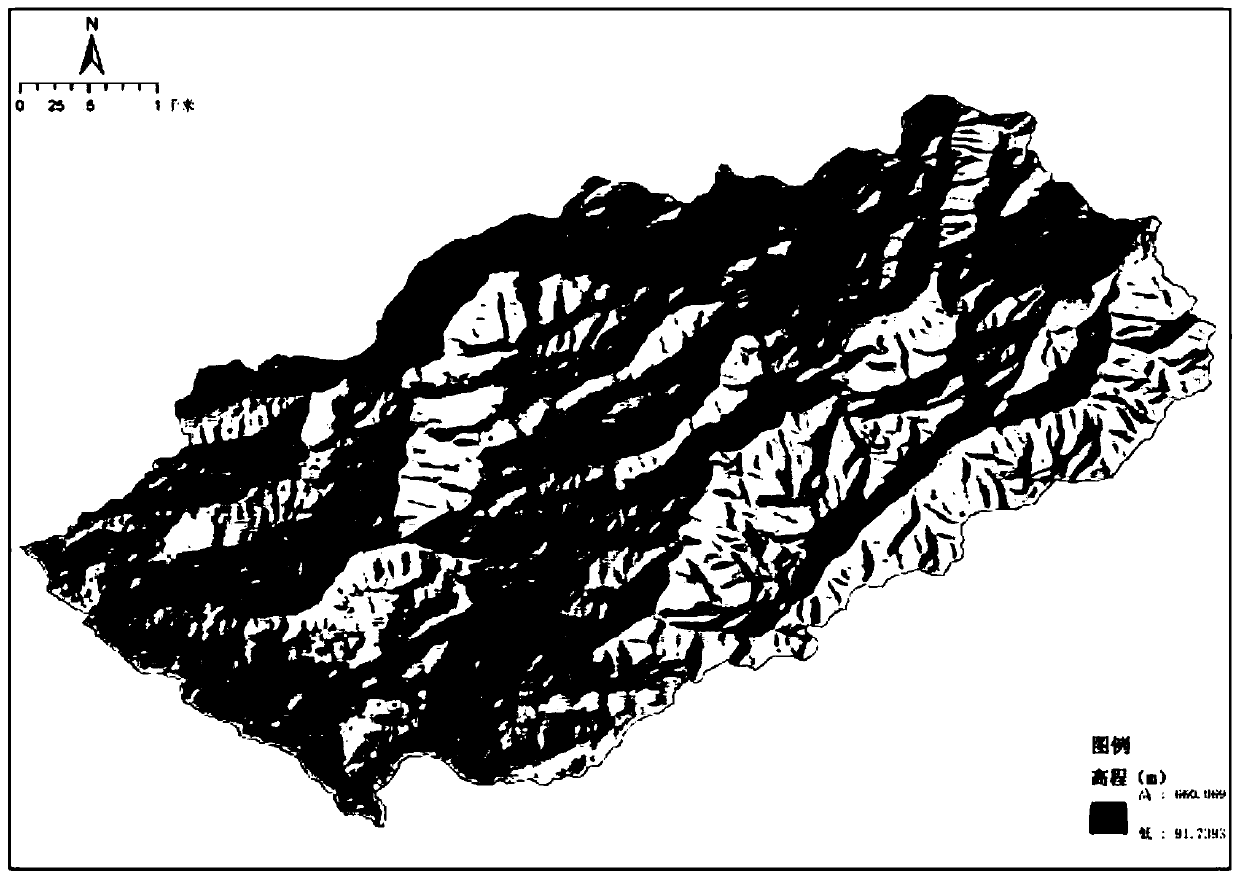
[0045] S2. Obtain the digital elevation model of the assessment area; generally there will be a digital elevation model taken by satellite, which can be downloaded from the Internet, such as figure 2 As shown, so this can be obtained through the existing technology, which belongs to the existing technology, so it will not be expanded in detail here;
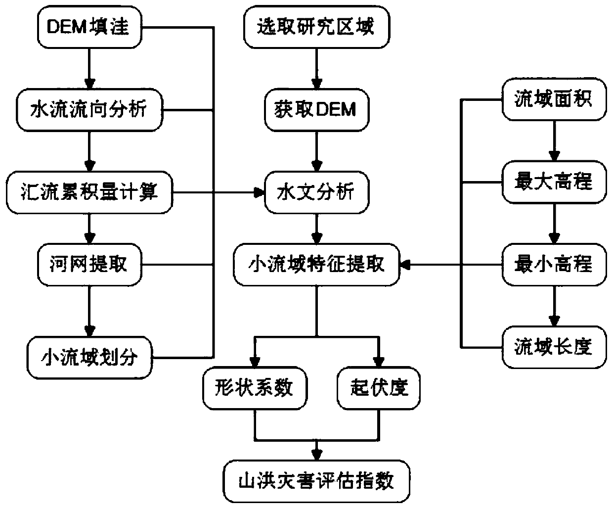
[0046] S3. Use the ArcGIS hydrological module to analyze and apply the digital characteristics of the surface, mainly through the steps of depression filling, flow direction analysis, confluence grid calculation, watershed division and river network selection, etc., to complete the extraction of basic hydrological factors and corresponding hydrological analysis , and finally reproduce the water flow process in the for...
PUM
 Abstract
Description
Claims
Application Information
 - R&D
- Intellectual Property
- Life Sciences
- Materials
- Tech Scout
- Unparalleled Data Quality
- Higher Quality Content
- 60% Fewer Hallucinations
Browse by: Latest US Patents, China's latest patents, Technical Efficacy Thesaurus, Application Domain, Technology Topic, Popular Technical Reports.
© 2025 PatSnap. All rights reserved.Legal|Privacy policy|Modern Slavery Act Transparency Statement|Sitemap|About US| Contact US: help@patsnap.com


