Natural protected area system integration and boundary demarcation method
A protected area and boundary technology, applied in the direction of instruments, data processing applications, forecasting, etc., can solve the problems of isolated islands and fragmented management of protected areas, fragmented administrative regions, overlapping chaos, etc.
- Summary
- Abstract
- Description
- Claims
- Application Information
AI Technical Summary
Problems solved by technology
Method used
Image
Examples
Embodiment Construction
[0072] The present invention will be further described in detail below with reference to the accompanying drawings and embodiments. It should be noted that the following embodiments are intended to facilitate the understanding of the present invention, but do not limit it in any way.
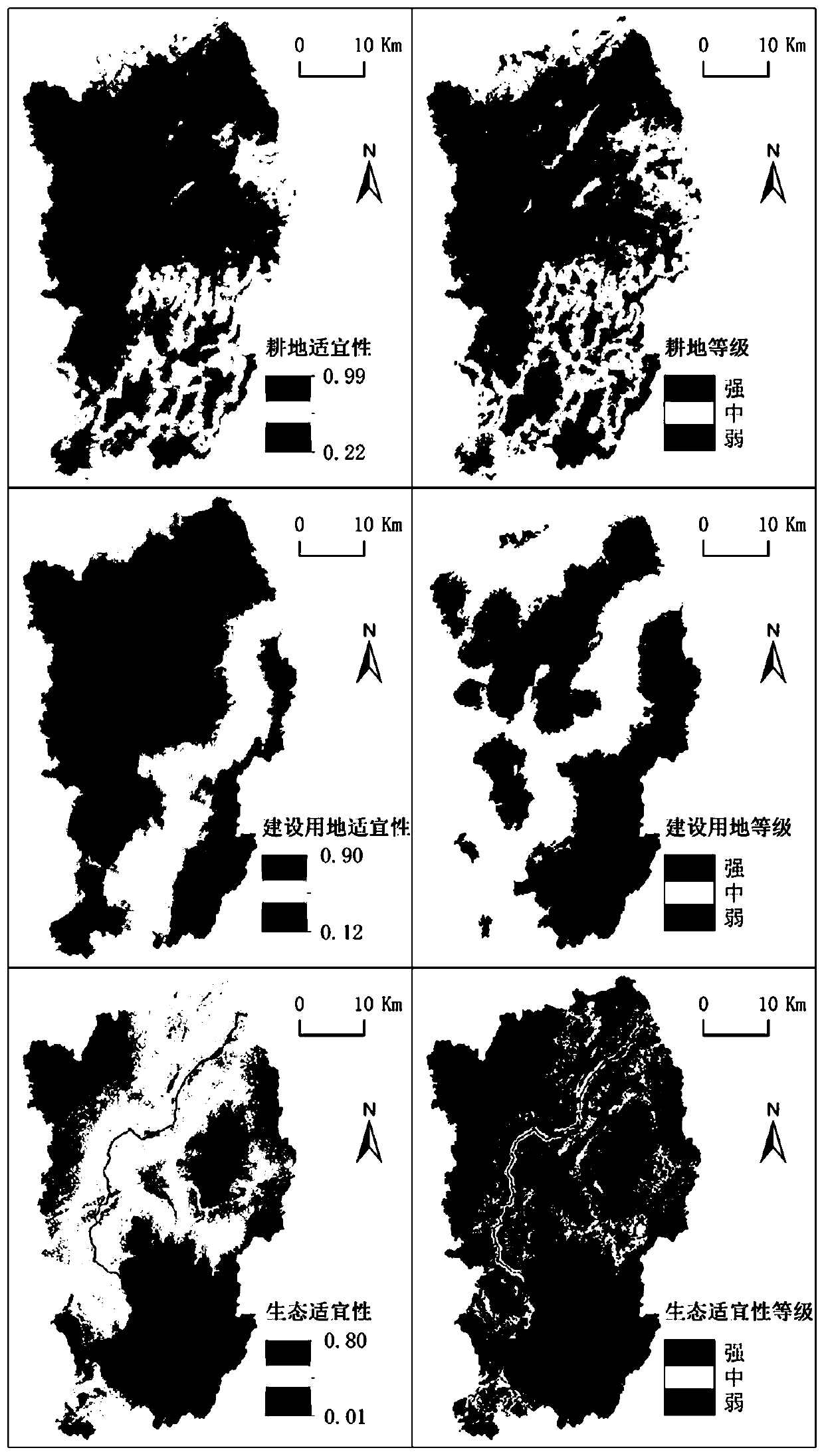
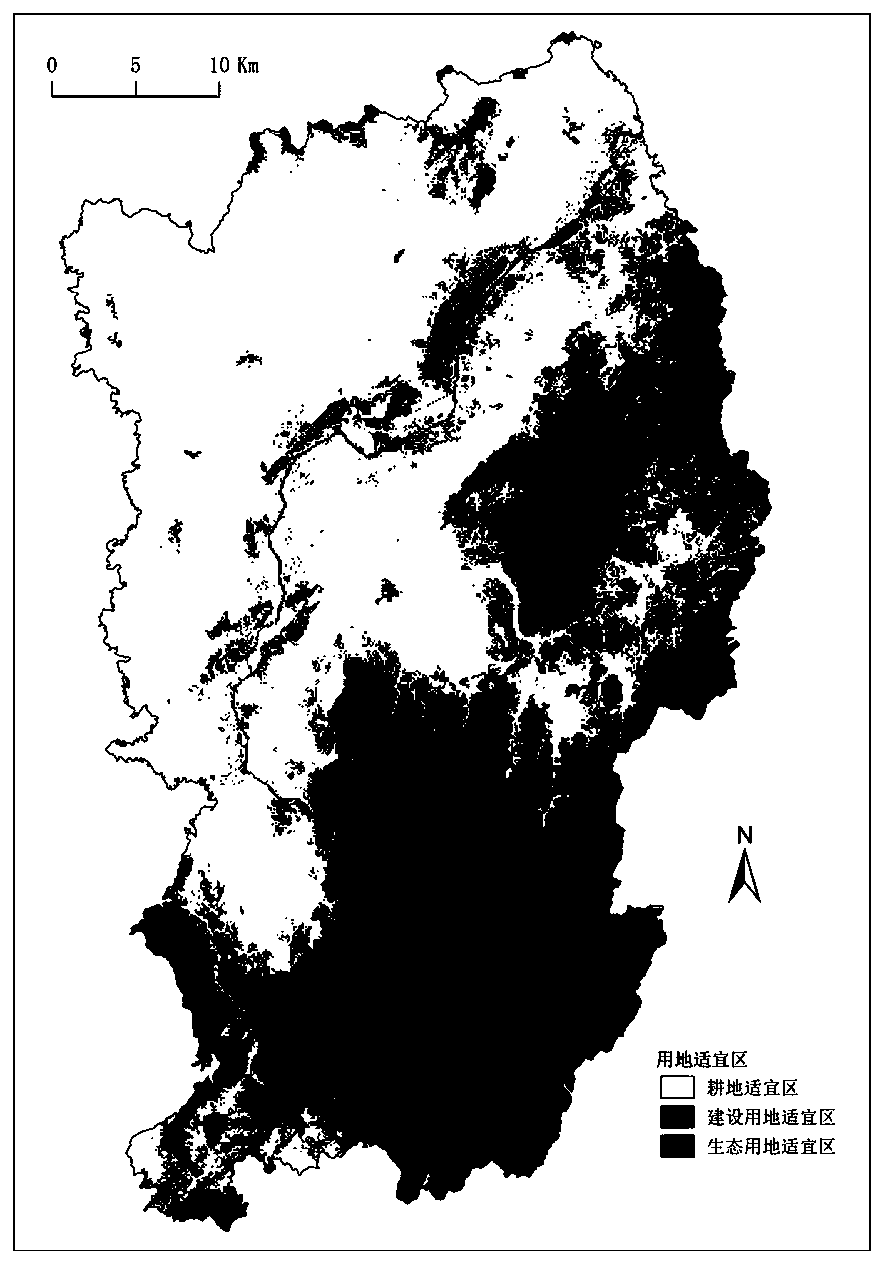
[0073] This embodiment takes Quzhou Jiangshan as an example, combined with the attached Figure 1-11 , the present invention will be described in further detail.
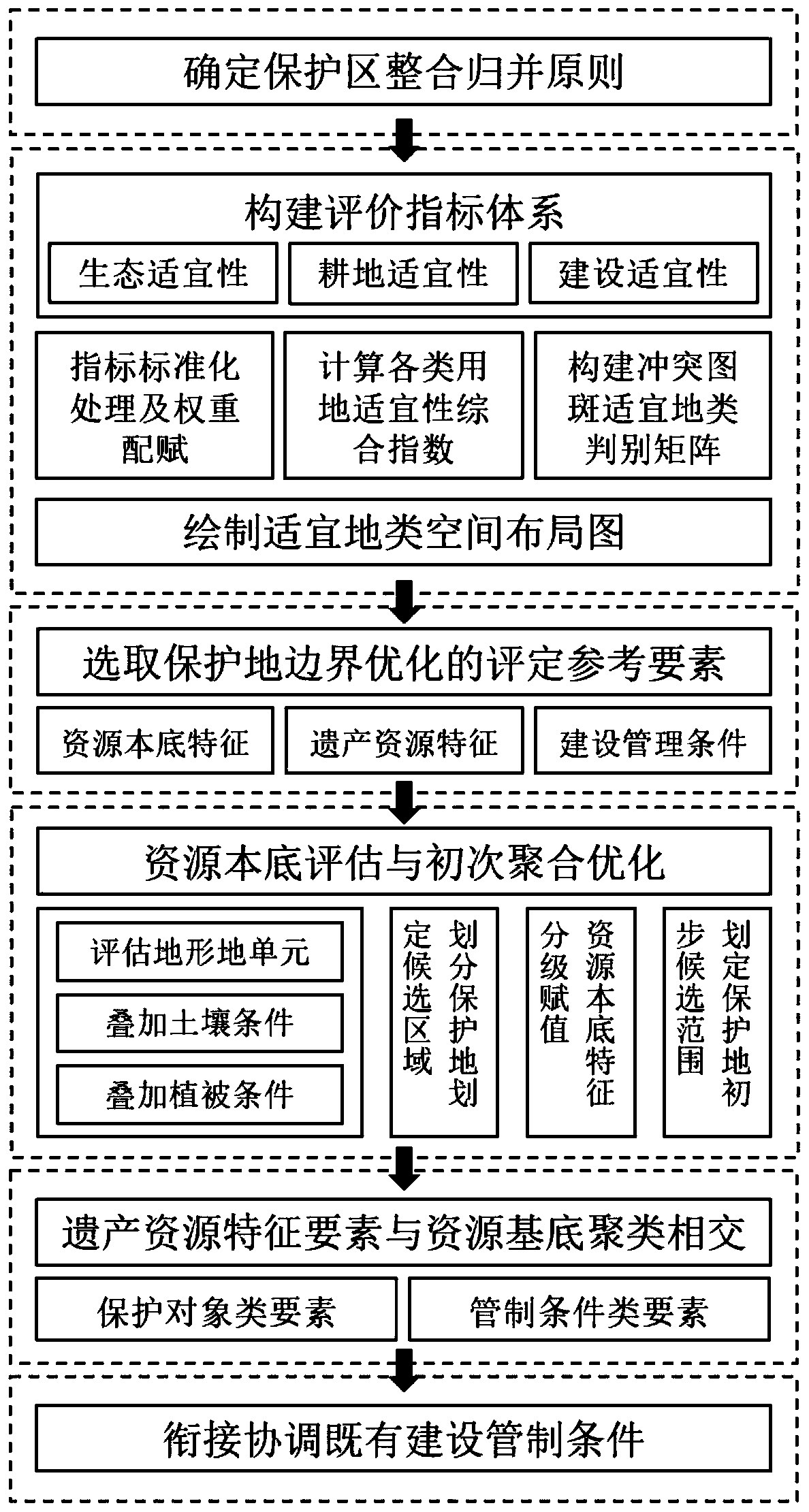
[0074] Such as figure 1 As shown, a method for system integration and boundary delineation of nature reserves mainly follows the following steps:
[0075] Step 1: Construct ecological suitability, cultivated land suitability, construction suitability evaluation index system and carry out index standardization and weight assignment; calculate various land use suitability comprehensive indexes, construct conflict map suitable land category discrimination matrix for qualitative evaluation and Draw a space layout map of suitable land ty...
PUM
 Abstract
Description
Claims
Application Information
 - R&D
- Intellectual Property
- Life Sciences
- Materials
- Tech Scout
- Unparalleled Data Quality
- Higher Quality Content
- 60% Fewer Hallucinations
Browse by: Latest US Patents, China's latest patents, Technical Efficacy Thesaurus, Application Domain, Technology Topic, Popular Technical Reports.
© 2025 PatSnap. All rights reserved.Legal|Privacy policy|Modern Slavery Act Transparency Statement|Sitemap|About US| Contact US: help@patsnap.com


