

Method and system for carrying out earth surface and underground planning based on underground three-dimensional space big data
A three-dimensional space and big data technology, applied in geographic information databases, image data processing, structured data retrieval, etc., can solve problems such as conflicting planning, loss of life and property, adverse effects, etc., and achieve the effect of promoting economic development
- Summary
- Abstract
- Description
- Claims
- Application Information
AI Technical Summary
Problems solved by technology
Method used
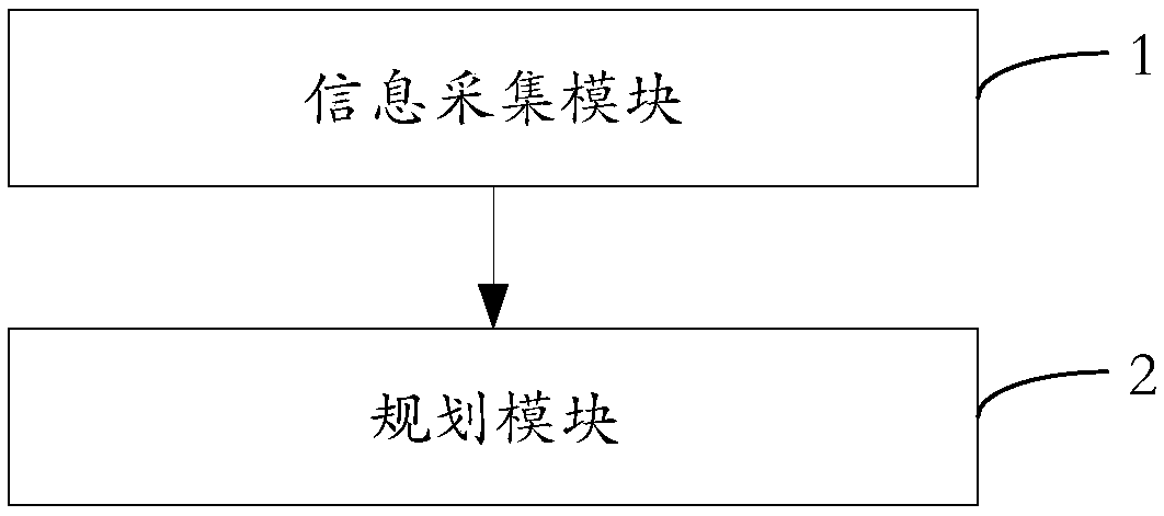
Image

Examples
Embodiment approach
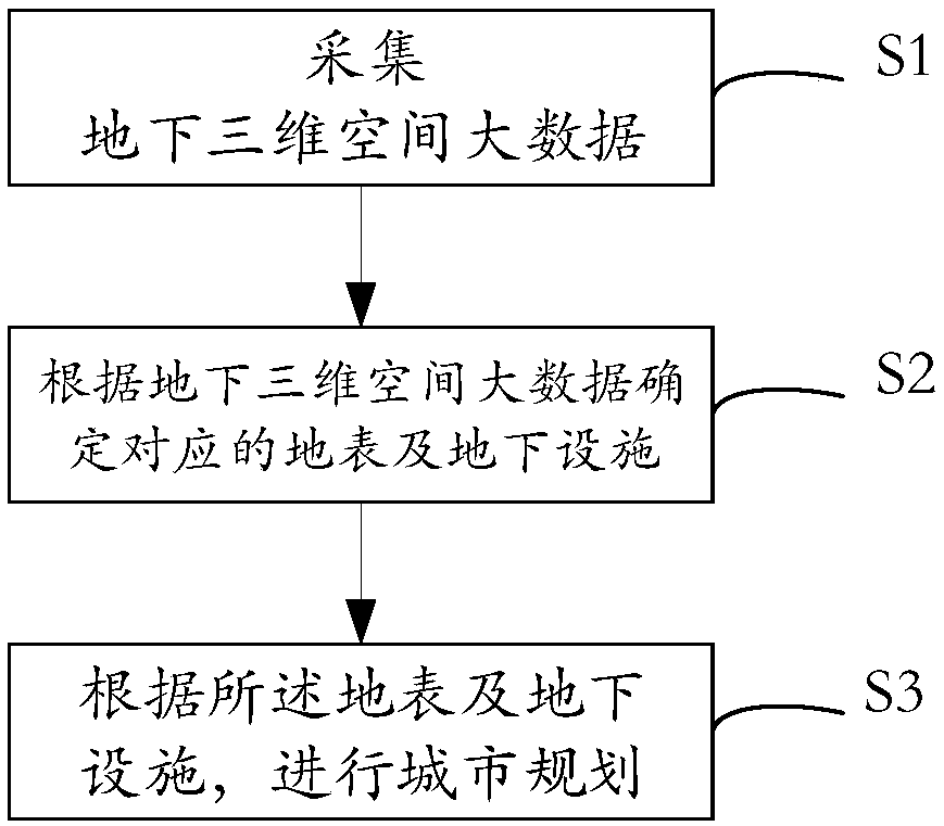
[0045] According to an embodiment of the present invention, at least one of the following methods is used to collect underground three-dimensional space big data: seismic detection method, drilling detection method.
[0046] According to an embodiment of the present invention, the underground three-dimensional space big data is converted into a three-dimensional model.
[0047] According to an embodiment of the present invention, the vertical range of the acquisition of the underground three-dimensional space big data is: 10 kilometers vertically downward from the surface.
[0048] According to an embodiment of the present invention, the underground three-dimensional space big data includes at least one of natural resource information and geological structure information.
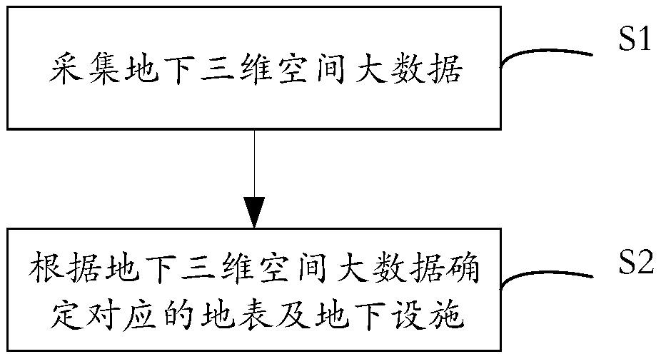
[0049] Figure 4 A schematic diagram of a process of determining corresponding surface and underground facilities according to the underground three-dimensional space big data is shown.
[0050] Such as ...
PUM
 Abstract
Description
Claims
Application Information