Check patentability & draft patents in minutes with Patsnap Eureka AI!

GNSS ground disaster deformation monitoring system and method based on virtual reference station

A technology of virtual reference station and monitoring system, applied in the field of GNSS ground disaster deformation monitoring system based on virtual reference station, can solve problems such as poor monitoring effect, and achieve the effect of solving poor monitoring effect

Inactive Publication Date: 2020-12-29
武汉星辰北斗科技有限公司
View PDF2 Cites 2 Cited by
  • Summary
  • Abstract
  • Description
  • Claims
  • Application Information

AI Technical Summary

Problems solved by technology

[0003] The present invention solves the problem of poor monitoring effect of GNSS disaster deformation monitoring under extreme conditions in the prior art by providing a virtual reference station-based GNSS disaster deformation monitoring system and method

Method used


Image

  • GNSS ground disaster deformation monitoring system and method based on virtual reference station
  • GNSS ground disaster deformation monitoring system and method based on virtual reference station
  • GNSS ground disaster deformation monitoring system and method based on virtual reference station

Examples


Embodiment Construction

[0030] In order to better understand the above-mentioned technical solution, the above-mentioned technical solution will be described in detail below in conjunction with the accompanying drawings and specific implementation methods.

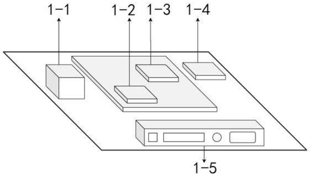
[0031] The present embodiment provides a kind of GNSS ground disaster deformation monitoring system based on virtual reference station, see Figure 1-Figure 3 , including: a monitoring station, a satellite tracking station, and a data center; the monitoring station is used to collect GNSS observation information and sensor observation information; the data center is used to receive the GNSS observation information and the sensor observation information in real time; Process the sensor observation information to obtain a short-term displacement calculation result; use the satellite tracking station to generate a virtual reference station, and use the virtual reference station technology to process the GNSS observation information to obtain a GNSS c...


PUM


Abstract

The invention belongs to the technical field of ground disaster deformation monitoring, and discloses a GNSS ground disaster deformation monitoring system and method based on a virtual reference station. GNSS observation information and sensor observation information are collected through a monitoring station, and the GNSS observation information and the sensor observation information are transmitted to a data center in real time; the data center processes the sensor observation information to obtain a short-term displacement calculation result; the data center generates the virtual referencestation by using a satellite tracking station, and the GNSS observation information is processed by using a virtual reference station technology to obtain a GNSS calculation result; and the data center combines the short-term displacement calculation result and the GNSS calculation result to obtain monitoring information. According to the GNSS ground disaster deformation monitoring system and method, the problem of the poor monitoring effect of GNSS ground disaster deformation monitoring under extreme conditions in the prior art is solved, and the technical effects of eliminating false alarmsand improving the monitoring precision are achieved.

Description

technical field [0001] The invention relates to the technical field of geological disaster deformation monitoring, in particular to a GNSS ground disaster deformation monitoring system and method based on a virtual reference station. Background technique [0002] Line facilities such as roads, railways, and bridges require high-precision and high-reliability measurement work to maintain daily monitoring and maintenance during the construction phase and subsequent operation phase. Especially for parts such as dangerous deformation bodies and soft foundations, landslides will cause huge loss of life and property. In order to ensure the safety of operations and operations, GNSS technology is currently used as a means of monitoring disaster deformation, and it is also combined with other means to complement each other. However, complex technologies and different manufacturers make the fusion system have problems such as inconsistent benchmarks, communication problems, and poor ...

Claims


Application Information

Patent Timeline
Patent Type & Authority Applications(China)
IPC IPC(8): G01B7/16G01S19/37
CPCG01B7/16G01S19/37
Inventor 许超钤孔建王鑫哲李启智
Owner 武汉星辰北斗科技有限公司
Features
  • R&D
  • Intellectual Property
  • Life Sciences
  • Materials
  • Tech Scout
  • Unparalleled Data Quality
  • Higher Quality Content
  • 60% Fewer Hallucinations
Learn More