

Method for identifying range ambiguity and azimuth ambiguity of ring-scan radar
A technology of distance ambiguity and azimuth ambiguity, applied in the space field, can solve problems such as increasing the complexity of radar hardware equipment radar timing, and achieve the effect of simplifying timing design and improving confidence
- Summary
- Abstract
- Description
- Claims
- Application Information
AI Technical Summary
Problems solved by technology
Method used
Image

Examples
Embodiment
[0086] Using the simulation parameters in Table 1, the azimuth fuzzy simulation of the ring scan radar is carried out.
[0087] Table 1 Azimuth fuzzy simulation parameters
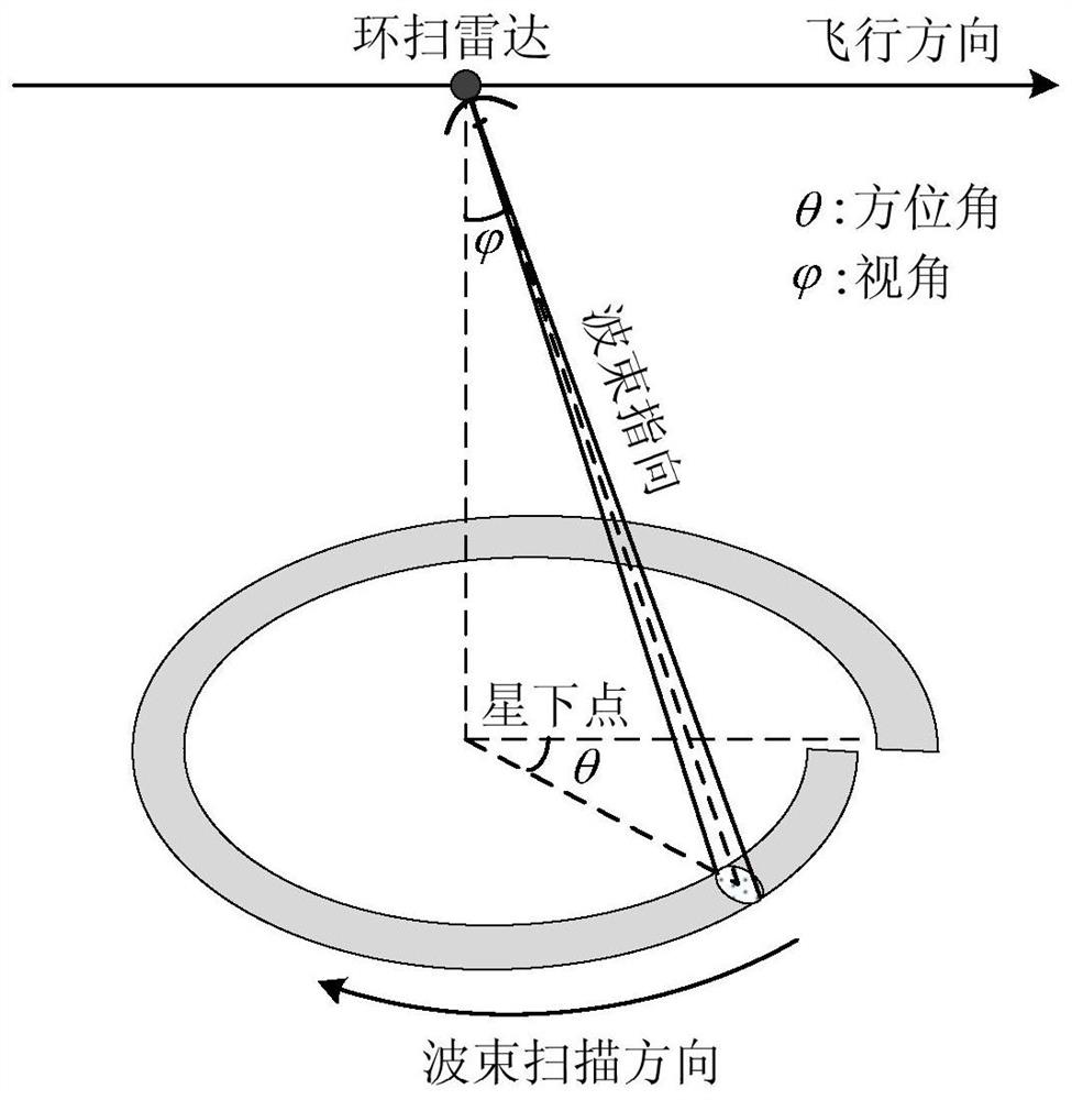
[0088] Simulation parameters value platform height 5000m platform speed 200m / s angle of view 60° Elevation Beamwidth 20° Azimuth Beamwidth 10° Antenna rotation speed 60° / s Antenna pattern sinc function without window carrier frequency 10GHz PRF 4000Hz
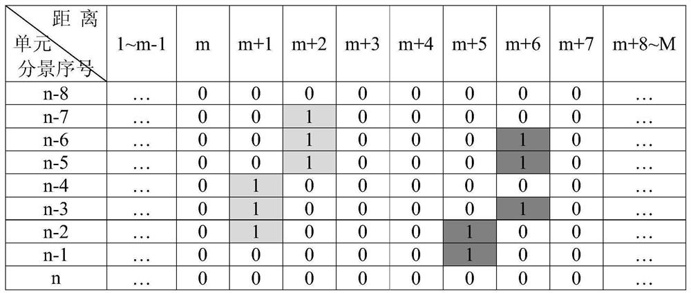
[0089] Figure 7 Under the above parameters, the positions of the azimuth ambiguity of the surround scan radar in the adjacent scene images are shown, respectively, the energy distribution in the echo direction of the scan radar (top), the oblique distance (middle), and the target energy change in the image (bottom) Correspondence, abscissa t a is the slow time, R(t a ) is the slow time change function of slope distance. Figure 8 for the same purpose (with Figure 7 Correspondin...
PUM
 Abstract
Description
Claims
Application Information