

Airborne multispectral LiDAR data land coverage classification method based on super voxel
A land cover, multi-spectral technology, applied in computer parts, instruments, characters and pattern recognition, etc., can solve the problems of limited features available to the classifier, poor integrity or reliability, and difficulty in building 3D geometric structures. Efficient classification effect, intuitive principle, easy-to-implement effect
- Summary
- Abstract
- Description
- Claims
- Application Information
AI Technical Summary
Problems solved by technology
Method used
Image

Examples
Embodiment Construction
[0053] The specific implementation manners of the present invention will be further described in detail below in conjunction with the accompanying drawings and embodiments. The following examples are used to illustrate the present invention, but are not intended to limit the scope of the present invention.
[0054] Such as figure 1 As shown, the method of airborne multispectral LiDAR data land cover classification based on supervoxels in this embodiment is as follows.
[0055] Step 1: Read the independent point cloud datasets of each band of the original airborne multispectral LiDAR data to obtain the original airborne multispectral LiDAR multi-band independent point cloud datasets;
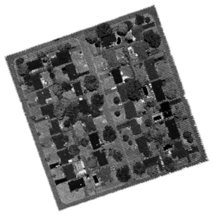
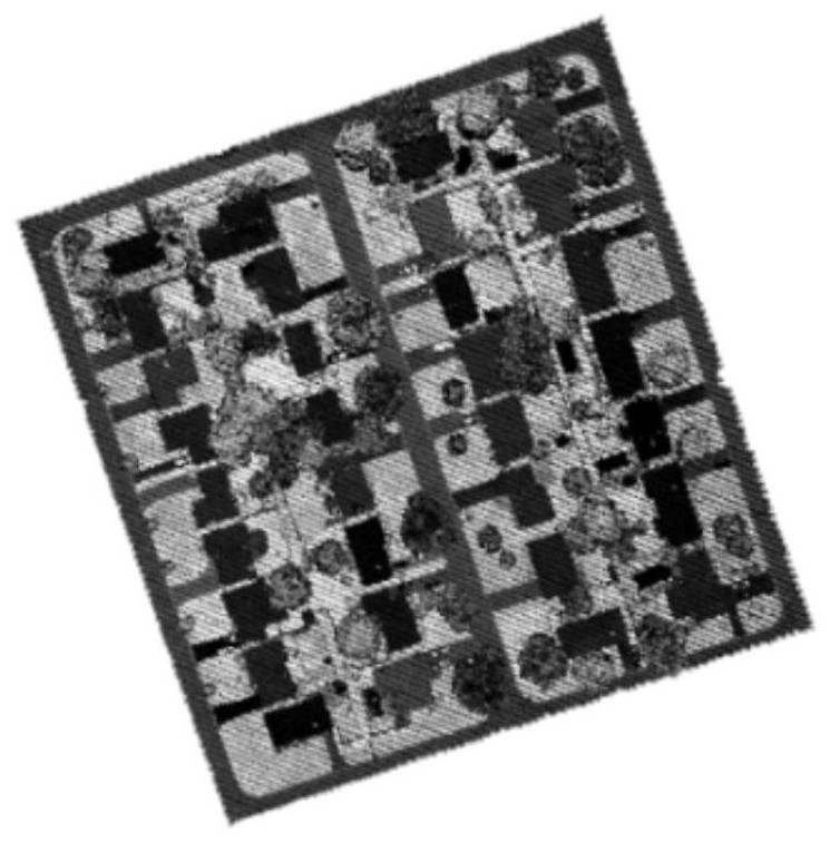
[0056] In this embodiment, the clipping area of the measured point cloud collected by the Titian airborne multispectral LiDAR system of Canadian Optech Company is used as experimental data to verify the effectiveness and feasibility of the method proposed by the present invention. The test ar...
PUM
 Abstract
Description
Claims
Application Information