GNSS-R sea surface height measurement precision and along-track spatial resolution reconstruction method and system
A spatial resolution, along-track technology, applied in the cross field, can solve the problems of unmanned iGNSS-R comprehensive analysis altimetry accuracy and accuracy
- Summary
- Abstract
- Description
- Claims
- Application Information
AI Technical Summary
Problems solved by technology
Method used
Image
Examples
Embodiment Construction
[0065] In order to make the object, technical solution and advantages of the present invention clearer, the embodiments disclosed in the present invention will be further described in detail below in conjunction with the accompanying drawings.
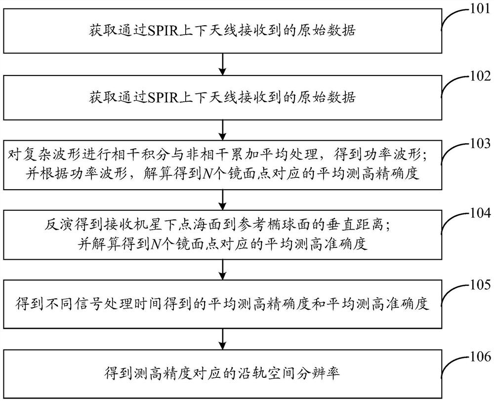
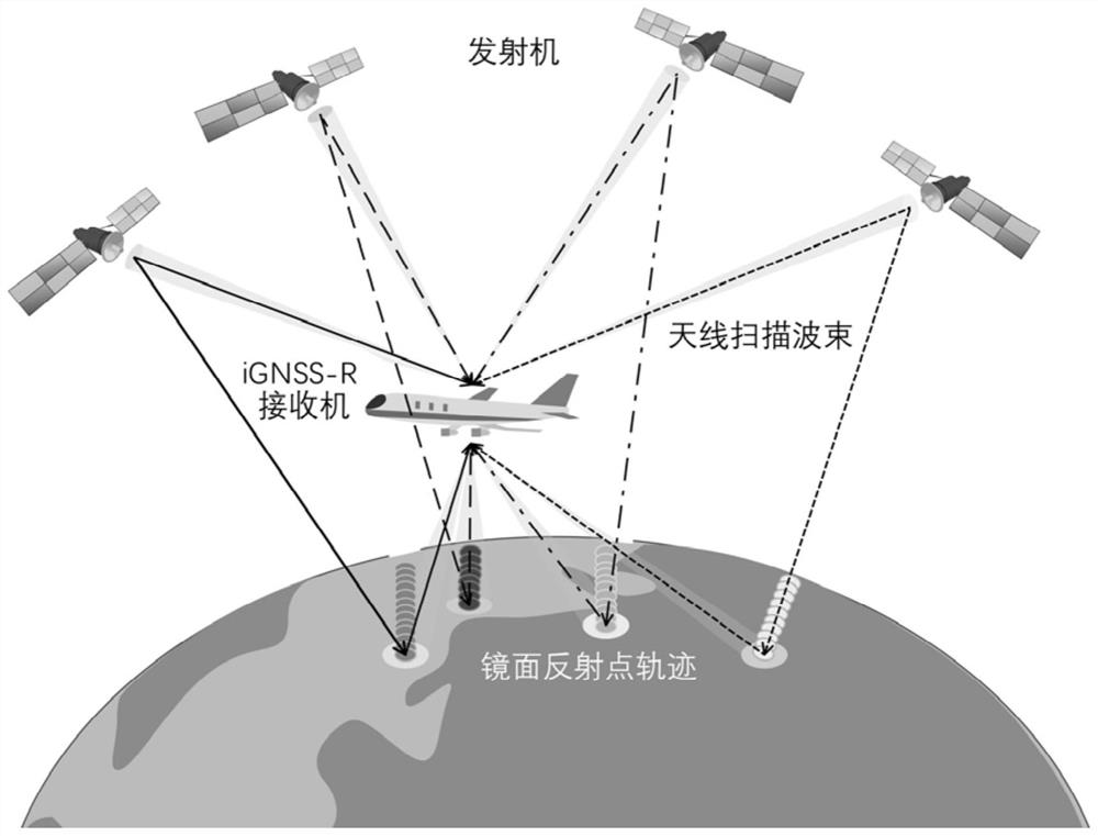
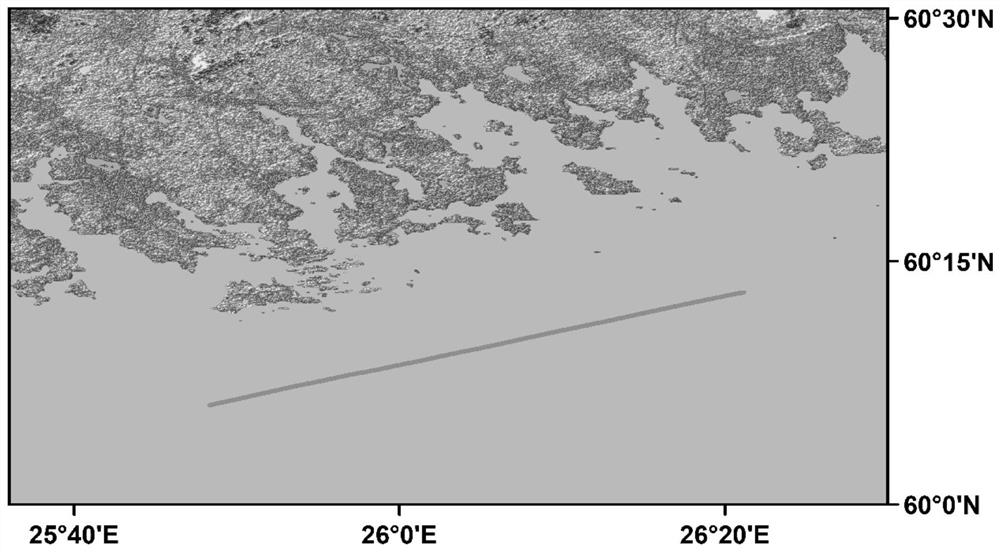
[0066] Accuracy and along-track spatial resolution are key parameters to characterize the high performance of iGNSS-R (Interferometric Global Navigation Satellite Systems Reflectometry) sea surface measurement, and the two are closely related through signal processing time. If a higher measurement accuracy is obtained in the observation area, a longer signal processing time is required, and part of the spatial resolution along the track will be lost. On the contrary, obtaining higher spatial resolution along the track requires more intensive time sampling, which ultimately leads to unsatisfactory measurement accuracy. Taking the airborne iGNSS-R measured data as an example, the present invention studies and analyzes the relationship be...
PUM
 Abstract
Description
Claims
Application Information
 - R&D
- Intellectual Property
- Life Sciences
- Materials
- Tech Scout
- Unparalleled Data Quality
- Higher Quality Content
- 60% Fewer Hallucinations
Browse by: Latest US Patents, China's latest patents, Technical Efficacy Thesaurus, Application Domain, Technology Topic, Popular Technical Reports.
© 2025 PatSnap. All rights reserved.Legal|Privacy policy|Modern Slavery Act Transparency Statement|Sitemap|About US| Contact US: help@patsnap.com


