
Water system extraction method based on digital elevation model (DEM)

A technology of digital elevation model and extraction method, applied in the field of geology, can solve the problem of not being able to visually display the river flow path and flow size, etc., and achieve the effect of saving energy and time, accurate extraction, and clear ups and downs

Pending Publication Date: 2022-06-21
ANHUI UNIV OF SCI & TECH
View PDF0 Cites 2 Cited by
  • Summary
  • Abstract
  • Description
  • Claims
  • Application Information

AI Technical Summary

Problems solved by technology

However, the existing water system extraction methods cannot intuitively display the flow path and flow of the river.

Method used


Image

  • Water system extraction method based on digital elevation model (DEM)
  • Water system extraction method based on digital elevation model (DEM)
  • Water system extraction method based on digital elevation model (DEM)

Examples


Embodiment Construction

[0040] The technical solutions in the embodiments of the present invention will be clearly and completely described below with reference to the accompanying drawings in the embodiments of the present invention. Obviously, the described embodiments are only a part of the embodiments of the present invention, but not all of the embodiments. Based on the embodiments of the present invention, all other embodiments obtained by those of ordinary skill in the art without creative efforts shall fall within the protection scope of the present invention.

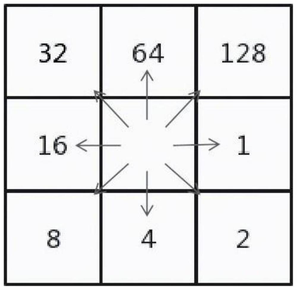
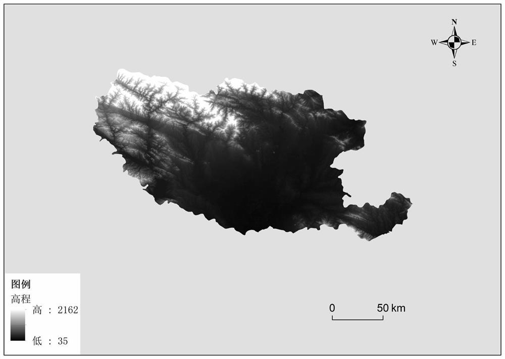
[0041] like Figures 1 to 4 As shown, a water system extraction method based on digital elevation model DEM includes the following steps:

[0042] Step (1): preprocess the data to be operated, log in the geospatial data cloud network platform to cut and download the selected regional data, carry out mosaic processing to the obtained regional data, and add the administrative region boundary as a reference simultaneously;

[0043] Step...


PUM


Abstract

The invention discloses a digital elevation model (DEM)-based water system extraction method, relates to the field of digital elevation model-based water system extraction methods, and belongs to the field of geosciences, and the digital elevation model-based water system extraction method comprises the following steps: step (1): preprocessing to-be-operated data, logging in the geographic space data cloud network platform to cut and download the selected area data, performing embedding processing on the obtained area data, and adding an administrative region boundary as a reference; and step (2), performing depression filling processing on the original DEM data by using a built-in system toolbar of the ArcGIS, performing flow direction extraction on the filled depression, taking the flow direction as input and output flow data, and performing calculation of a flow direction accumulation grid. According to the method, on the basis of the DEM, the river, the water outlet and the drainage basin are extracted by simulating the runoff forming process of surface water, convenience and rapidness are achieved, and extraction of the small drainage basin is more accurate and clearer.

Description

technical field [0001] The invention relates to the field of a water system extraction method of a digital elevation model, belonging to the field of geology, in particular to a water system extraction method based on a digital elevation model DEM. Background technique [0002] Geographic Information System (GIS) is widely used in different fields, and its spatial analysis function has mature theories and models in hydrological analysis, which greatly facilitates the extraction of river systems. Water system analysis is one of the important contents in geomorphology research. The distribution characteristics of water system are closely related to climate and topography. Therefore, the topography and landforms in the study area can be well analyzed through the study of water system. With the popularity of the Internet, various DEM data can also be downloaded on the Internet. Although the accuracy is relatively low, the data is easy to obtain and can meet many application need...

Claims


Application Information

Patent Timeline
Patent Type & Authority Applications(China)
IPC IPC(8): G06T17/05G06T19/20
CPCG06T17/05G06T19/20G06T2219/2012G06T2219/2021
Inventor 张丽雯宋涛鲁海峰李慧颖宁明诚
Owner ANHUI UNIV OF SCI & TECH
Learn More