
Method and computer program product for geophysical and geologic data identification, geodetic classification, and organization

a geophysical and geologic data and computer program technology, applied in the field of geophysical and geologic information acquisition, can solve the problems of insufficient data coordinates to determine the location, difficult organization and use of formats, and people and time-consuming tasks

Inactive Publication Date: 2010-07-15
ENSOCO
View PDF21 Cites 41 Cited by
  • Summary
  • Abstract
  • Description
  • Claims
  • Application Information

AI Technical Summary

Benefits of technology

[0014]Accordingly, a method for geodetic information acquisition is provided in one exemplary embodiment of the present invention. The method includes identifying a file, where the file includes multiple records having at least some spatially referenced data. The records are classified into one or more header records and one or more data rec

Problems solved by technology

Further, determining coordinates for the data may be insufficient to determine the location, because there are many different systems, or datums, of latitude and longitude and projections of eastings and northings.
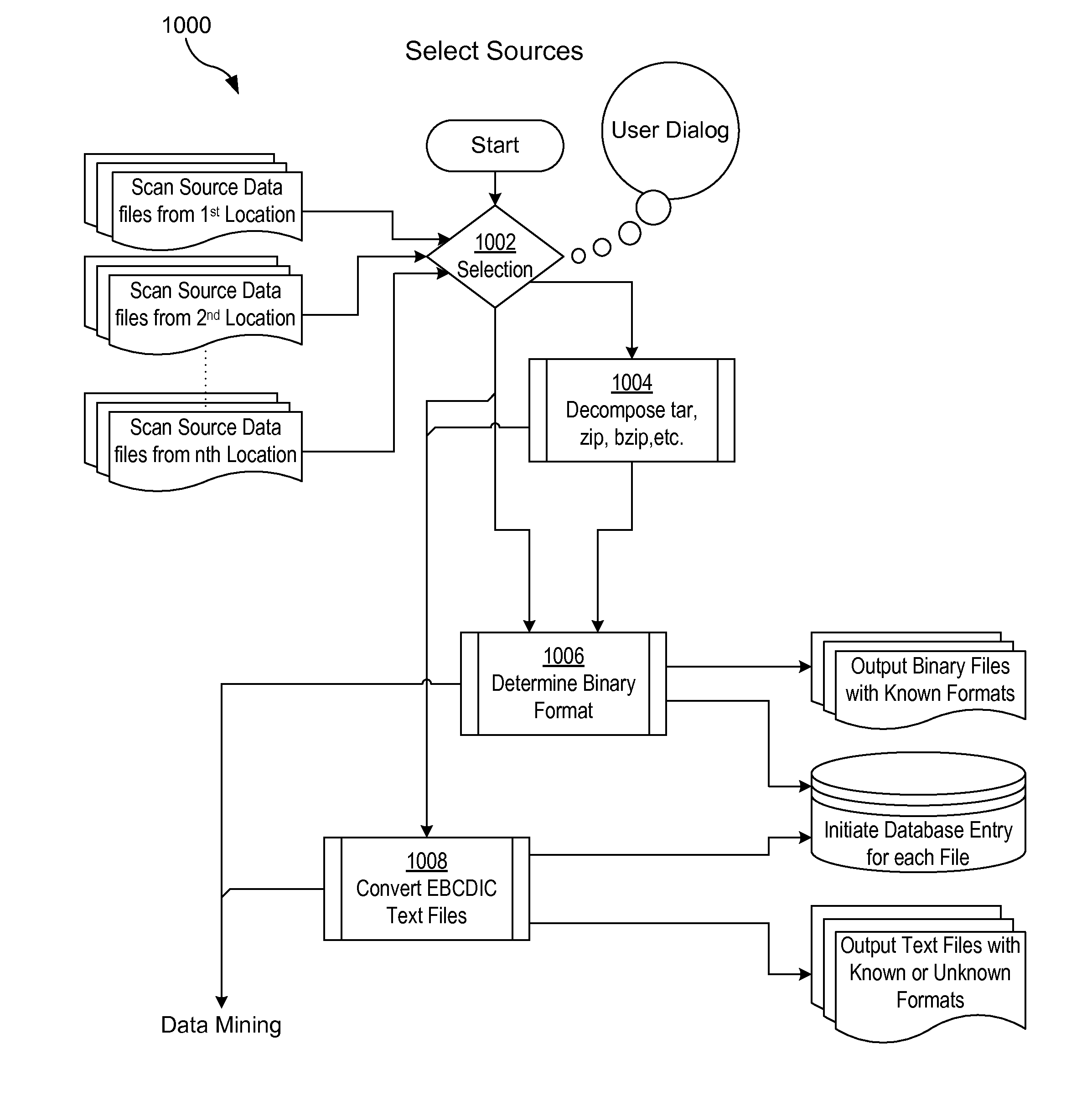
However, many formats have minimal or no coordinate identity information, making those formats more difficult to organize and use. FIG. 1 shows a typical data file providing minimal geodetic identity.
Manually locating spatially referenced data, identifying the subject of the data, identifying the location of the subject, including the coordinate identities, and organizing the data for subsequent usage is a people and time intensive task.
Additionally, spatially referenced data was often recorded and updated manually, making it subject to human error.
Attempting to use misleading spatially referenced data can create many problems.
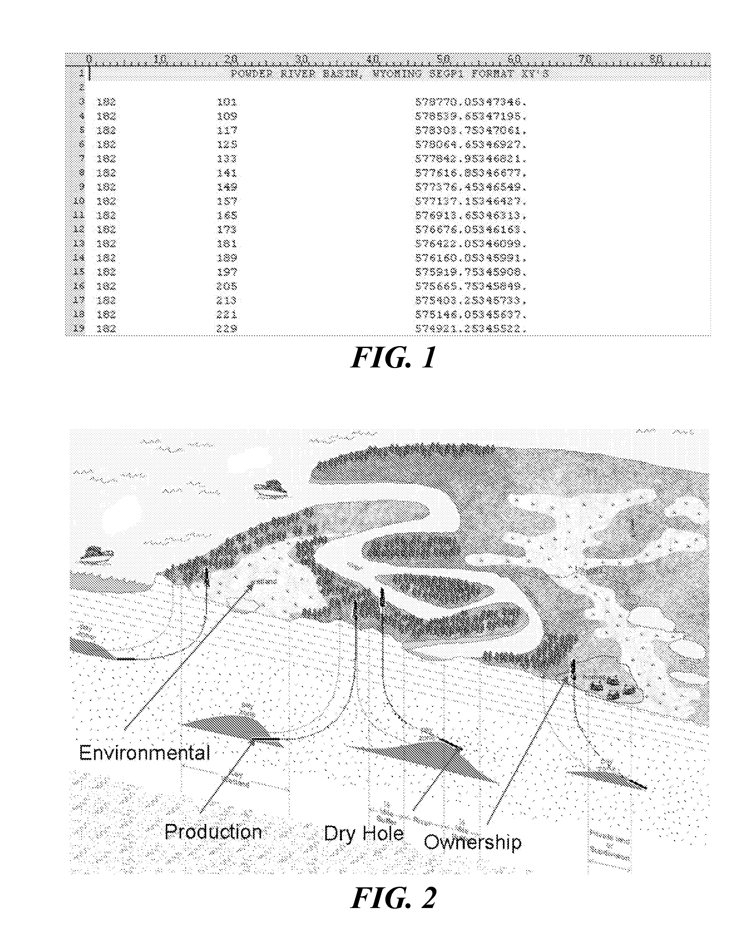
However, because of the incorrect system of reference, the seismic data may be misinterpreted to show a different area nearby. FIG. 2 is a cartoon showing the impact of poorly or incorrectly referenced coordinates.
The misinterpretation could cause significant loss of revenue, legal and ownership issues, environmental impact, and health and safety issues.

Method used


Image

  • Method and computer program product for geophysical and geologic data identification, geodetic classification, and organization
  • Method and computer program product for geophysical and geologic data identification, geodetic classification, and organization
  • Method and computer program product for geophysical and geologic data identification, geodetic classification, and organization

Examples


process 1200

Appendix C—Example of Process 1200

[0107]The following is an example of a SCAN 1 process 1200 performed on a set of data records of unknown format.

Initial Data Records Example

[0108]

CLT49601423142312340B17543354N110445881E155590161670 857917065028CLT49601423142312350B17544044N110445458E155470161885 863919065151CLT49601423142312360B17544727N110445012E155343162097 916917065316CLT49601423142312370B17545421N110444563E155215162313 987917065440CLT49601423142312380B17550118N110444121E1550901625301012917065605CLT49601423142312390B17550814N110443685E1549661627471117919065729465CLT49601423 54612400B17551513N110443252E1548431629641006919065853CLT49601423 54612410 17552219N110442824E1547211631841004917070015CLT49601423 54612420 17552930N110442412E154604163405 983917070136CLT49601423 54612490a17561750N110435272E1537111649051247917071113CLT49601423 54612500a17562454N110434840E1535881651241310917071238CLT49601423 54612510a17563157N110434409E1534651653431307917071402CLT49601423 54612520a17563853N1104...


PUM


Abstract

A method of geodetic information acquisition and a computer program product having computer code for performing the method are provided. The method includes identifying a file having multiple records, where the records contain spatially referenced data. The records are classified into header records and data records. Each data record is divided into fields. Patterns of fields consistent with sets of the data records are identified. The records are associated with a format based on the patterns of fields. At least some of the spatially referenced data is extracted from the records according to the format.

Description

CROSS-REFERENCE TO RELATED APPLICATIONS[0001]This application relates to, and claims the benefit of the filing date of, co-pending U.S. provisional patent application Ser. No. 61 / 144,263 entitled METHOD AND APPARATUS FOR GEOPHYSICAL AND GEOLOGIC DATA IDENTIFICATION, GEODETIC CLASSIFICATION, AND ORGANIZATION, filed Jan. 13, 2009, the entire contents of which are incorporated herein by reference.TECHNICAL FIELD[0002]The present invention relates to geodetic information acquisition, and, more particularly, geodetic information acquisition from a group of geodetically related data files of unspecified and possibly diverse formats.BACKGROUND[0003]Spatially referenced data is commonly used in the oil and gas industry and other geophysical and geologic industries. Vast quantities of spatially referenced data are continually sold, bought, exchanged, and managed by oil and gas companies, geophysical and geologic data brokers, and data managers.[0004]Spatially referenced data includes, for ex...

Claims


Application Information

Patent Timeline
IPC IPC(8): G06F17/30
CPCG01C21/32G06F17/30241G06F17/30289G09B29/102G09B29/007G06F16/29G06F16/21
Inventor CONNER, JOHNMEADOURS, BRUCEPONTON, MICHAELPONTON, BRUCE
Owner ENSOCO
Learn More