
Systems and methods for surveillance with a visual marker

a visual marker and system technology, applied in scene recognition, navigation instruments, instruments, etc., can solve problems such as challenges in autonomous navigation of uav

Active Publication Date: 2017-02-02
SZ DJI TECH CO LTD
View PDF48 Cites 101 Cited by
  • Summary
  • Abstract
  • Description
  • Claims
  • Application Information

AI Technical Summary

Benefits of technology

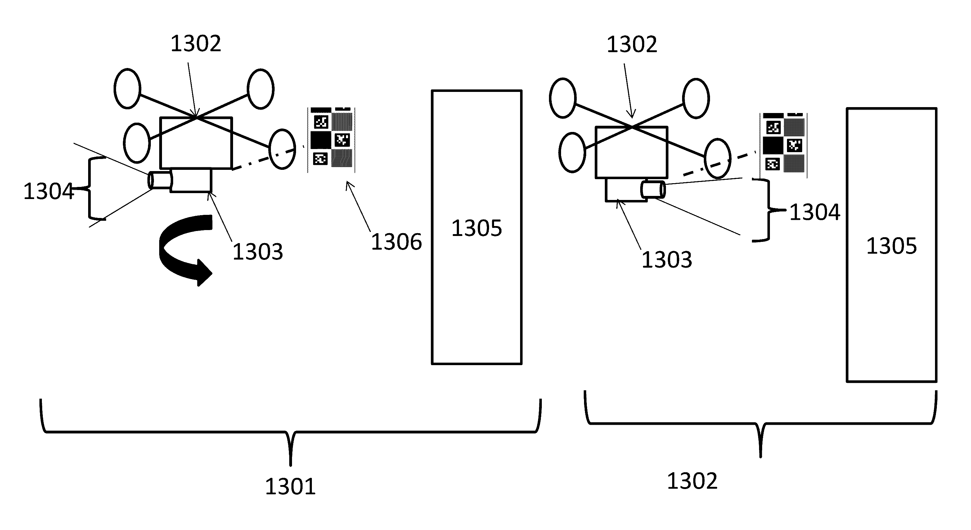
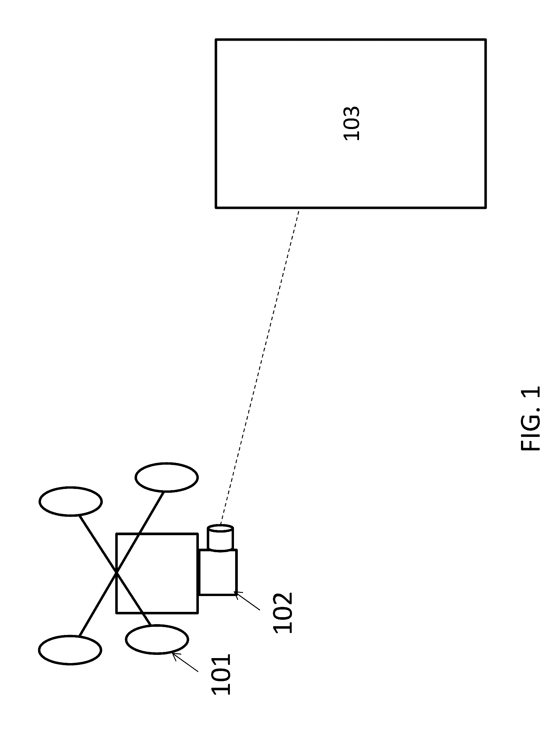
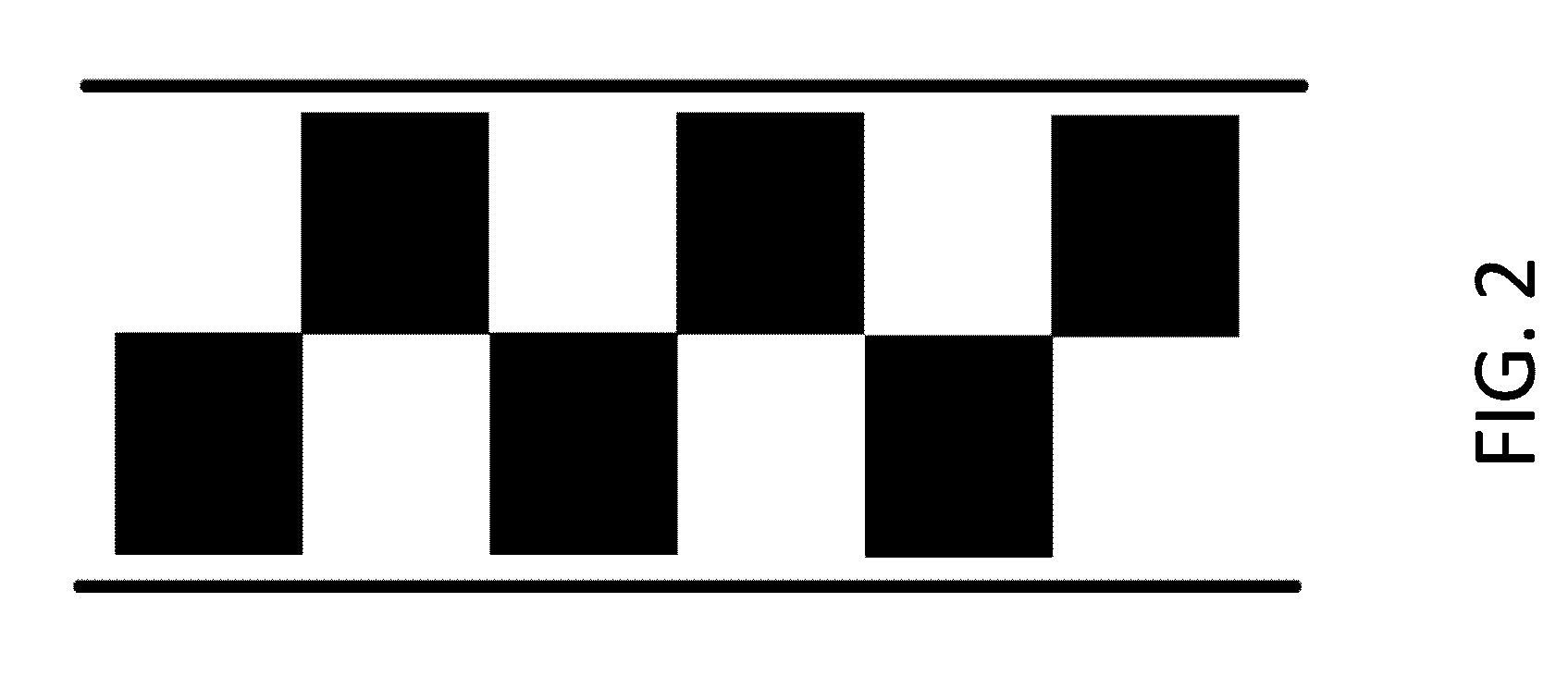
The invention is about a system that allows a drone to see and respond to a specific visual pattern. The system uses a camera on the drone to capture an image of a visual marker, which is then identified and distinguished by the drone's processor. The identifier is then used to elicit a different response from the drone than other similar markers. This can help the drone to accurately position itself within an environment.

Problems solved by technology

This may lead to challenges with autonomous navigation of UAVs

Method used


Image

  • Systems and methods for surveillance with a visual marker
  • Systems and methods for surveillance with a visual marker
  • Systems and methods for surveillance with a visual marker

Examples


Embodiment Construction

[0099]The systems, devices, and methods of the present invention provide positioning methods for automatically aiding an unmanned aerial vehicle (UAV) in navigating an environment. Description of the UAV may be applied to any other type of unmanned vehicle, or any other type of movable object.

[0100]A UAV may be provided to patrol an environment to collect information about the environment or one or more subjects in the environment. The UAV can follow a defined path through an environment or the UAV can follow an unstructured path. The UAV can autonomously or semi-autonomously follow a subject of interested and collect sensory data pertaining to the subject on interest. Sensory data can be visual data, audio data, location data, and / or movement data. A UAV in a surveillance environment can receive commands from an off board control center through a communication network. The communication network can be wired or wireless. In some cases the UAV can receive communication from a pattern...


PUM


Abstract

Systems and methods are provided for positing an unmanned aerial vehicle (UAV) in an environment. The UAV may be able to identify visual markers and patterns in the environment. The UAV can distinguish between visual markers and other features in the environment. The visual markers can be analyzed with visual sensors to determine the position of the UAV in the environment. The visual markers can encode instructions to the UAV.

Description

CROSS-REFERENCE[0001]This application is a continuation of International Application No. PCT / CN2014 / 090078, filed on Oct. 31, 2014. The above-referenced applications are hereby incorporated by reference.BACKGROUND OF THE INVENTION[0002]Aerial vehicles such as unmanned aerial vehicles (UAVs) can be used for performing surveillance, reconnaissance, and exploration tasks for military and civilian applications. Such aerial vehicles may carry a payload configured to perform a specific function.[0003]Typical UAVs may communicate with external systems when navigating an environment. A UAV may be operating in an environment in which navigation signals such as signals from global positioning software signals (GPS) are weak. This may lead to challenges with autonomous navigation of UAVsSUMMARY OF THE INVENTION[0004]A need exists to provide a method of navigating an unmanned aerial vehicle (UAV) in an environment without relying on signal strength and reliability of navigation sensors such as ...

Claims


Application Information

Patent Timeline
Patent Type & Authority Applications(United States)
IPC IPC(8): G05D1/10B64D47/08G01C21/20G06K7/14G08G5/00G06K9/00G06K19/06B64C39/02G08G5/04
CPCG05D1/102B64C39/024B64D47/08G01C21/206G06K7/1417G08G5/0069G06K9/0063G06K19/06037G08G5/045B64U2101/31B64U2101/60
Inventor LIU, ANGHU, XIAOZHOU, GUYUE
Owner SZ DJI TECH CO LTD
Learn More