
Wireless communication terminals and methods that display relative direction and distance therebetween responsive to acceleration data

a technology of wireless communication terminals and acceleration data, applied in the field of wireless communication, can solve the problems of difficult or impossible acquisition of gps signals that may be easily acquired in the open, complex algorithms used to acquire gps signals and determine positions therefrom, and achieve the effect of increasing the accuracy of relative direction and distance data

Inactive Publication Date: 2011-08-16
SONY ERICSSON MOBILE COMM AB
View PDF13 Cites 12 Cited by
  • Summary
  • Abstract
  • Description
  • Claims
  • Application Information

AI Technical Summary

Benefits of technology

"The present invention provides wireless communication terminals that display the direction and distance between them using acceleration data from a sensor. The terminals can track their movement and display the relative direction and distance between them based on the movement data they receive from another terminal. This allows users to know the direction and distance between them, even when they are not in direct contact. The terminals can also communicate the movement data to another terminal through a wireless local area network (WLAN) or cellular network, and can detect the orientation of a pattern on the other terminal to determine its relative orientation. The technical effect of this invention is to provide users with a more intuitive and accurate way to communicate with each other using wireless communication terminals."

Problems solved by technology

The algorithms that are used to acquire GPS signals and determine position therefrom are complex and require substantial processing throughput.
The process of monitoring GPS signals can be significantly affected by environmental factors.
For example, GPS signals that may be easily acquired in the open typically become harder or impossible to acquire when a receiver is within a building, a vehicle, and / or under foliage.
As can be appreciated, incorporating a GPS receiver and associated processing circuitry into a wireless terminal can greatly increase its cost and complexity.
This cost and complexity further increases when the wireless terminal is further configured to receive and use GPS acquisition assistance information from a cellular communication system.

Method used


Image

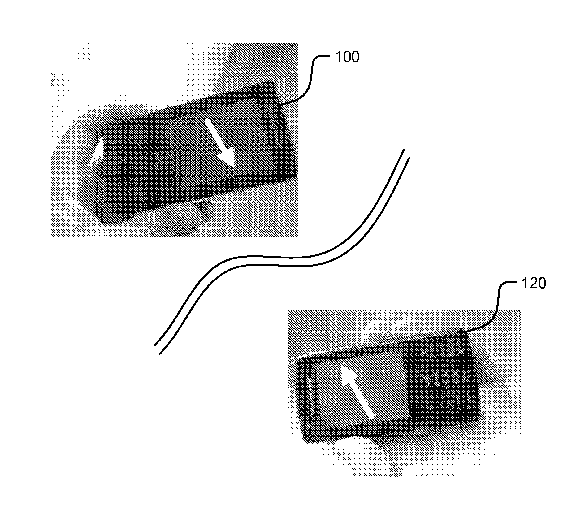
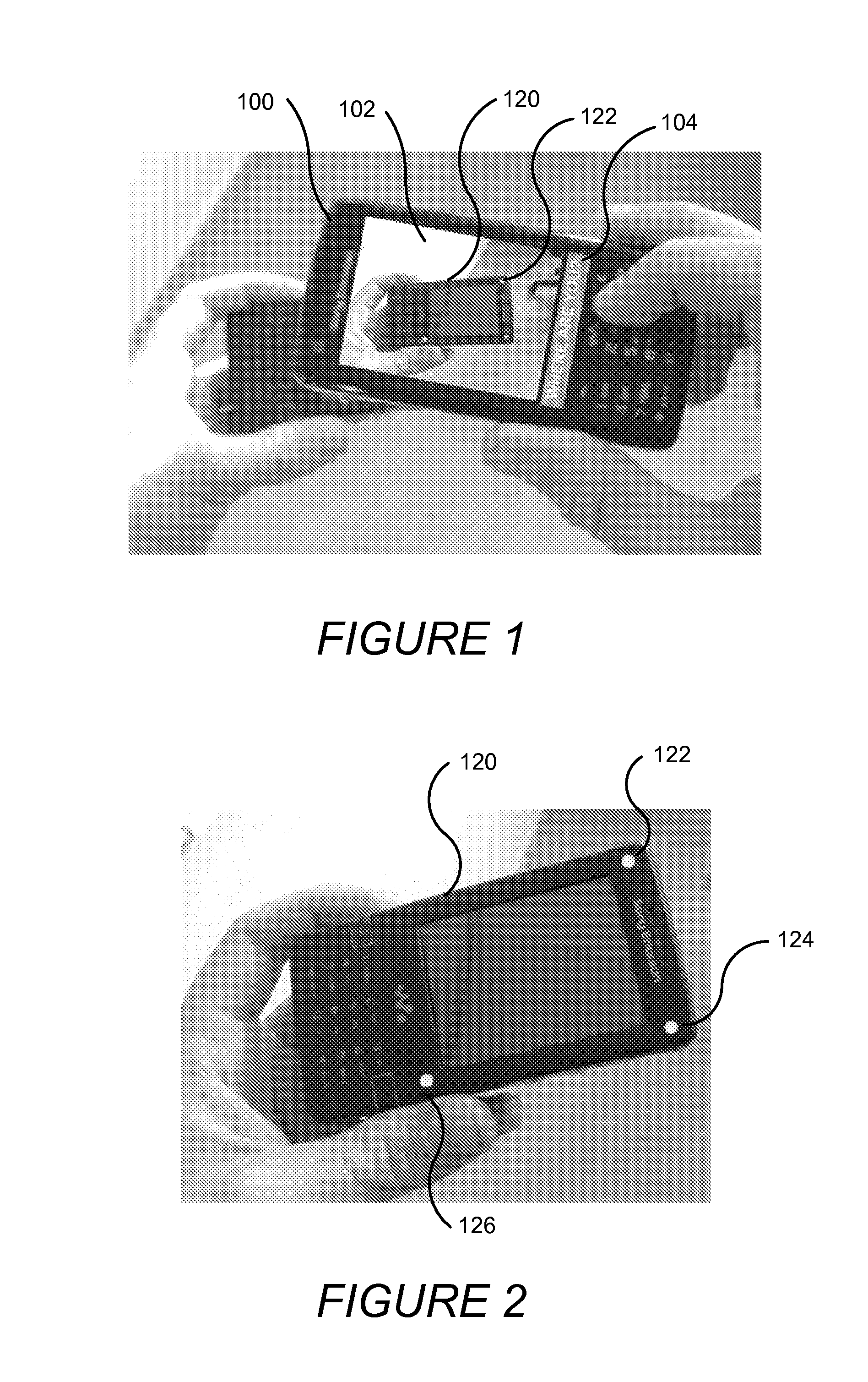
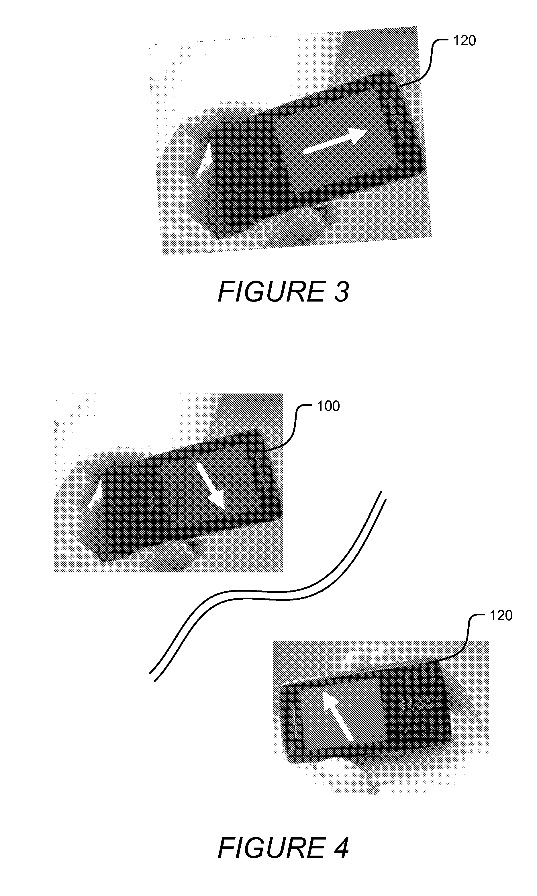
  • Wireless communication terminals and methods that display relative direction and distance therebetween responsive to acceleration data
  • Wireless communication terminals and methods that display relative direction and distance therebetween responsive to acceleration data
  • Wireless communication terminals and methods that display relative direction and distance therebetween responsive to acceleration data

Examples


Embodiment Construction

Various embodiments of the present invention will now be described more fully hereinafter with reference to the accompanying drawings. However, this invention should not be construed as limited to the embodiments set forth herein. Rather, these embodiments are provided so that this disclosure will be thorough and complete, and will convey the scope of the invention to those skilled in the art.

It will be understood that, as used herein, the term “comprising” or “comprises” is open-ended, and includes one or more stated elements, steps and / or functions without precluding one or more unstated elements, steps and / or functions. As used herein, the singular forms “a”, “an” and “the” are intended to include the plural forms as well, unless the context clearly indicates otherwise. The term “and / or” and “ / ” includes any and all combinations of one or more of the associated listed items. In the drawings, the size and relative sizes of regions may be exaggerated for clarity. Like numbers refer...


PUM


Abstract

Wireless communication terminals are disclosed that display the direction and distance between them so that users can, for example, travel away from each other and then later find one another. The terminals are configured to track their movement using acceleration data. Some of the terminals may operate as slave terminals in which they transmit their movement data to a master terminal which determines therefrom the relative direction and distance between the terminals. The master terminal may then transmit the relative direction and distance data to the slave terminals where it can be displayed to their users.

Description

BACKGROUND OF THE INVENTIONThe present invention relates to the field of wireless communications in general and more particularly, to determining the location of wireless communication terminals.Many communication terminals, such as cellular communication terminals, personal digital assistants (PDAs), laptop computers, and the like, are now equipped with Global Positioning System (GPS) receivers to enable users to determine their location. GPS is a space-based radio triangulation system using a constellation of satellites in orbit around the Earth. A GPS receiver triangulates its position based on timing of radio signals it receives from various ones of the satellites and the known location of those satellites.Determining the position of a GPS receiver typically requires the acquisition of a set of navigational parameters from the navigational data signals of four or more GPS satellites. The algorithms that are used to acquire GPS signals and determine position therefrom are complex...

Claims


Application Information

Patent Timeline
Patent Type & Authority Patents(United States)
IPC IPC(8): H04W24/00G01S5/02
CPCG01C21/08G01C21/12G01C21/16G01S3/78G01S5/0072G01S5/0284
Inventor HANNER, CHRISTIAN THOMAS
Owner SONY ERICSSON MOBILE COMM AB
Learn More