Method for processing a satellite image and/or an aerial image
a satellite image and aerial image technology, applied in the field of processing satellite images and/or aerial images, can solve the problems of not being very meaningful, feeling of uneasiness in regard to driving over virtual obstacles, and obscuring the image of the front of the business,
- Summary
- Abstract
- Description
- Claims
- Application Information
AI Technical Summary
Benefits of technology
Problems solved by technology
Method used
Image
Examples
Embodiment Construction
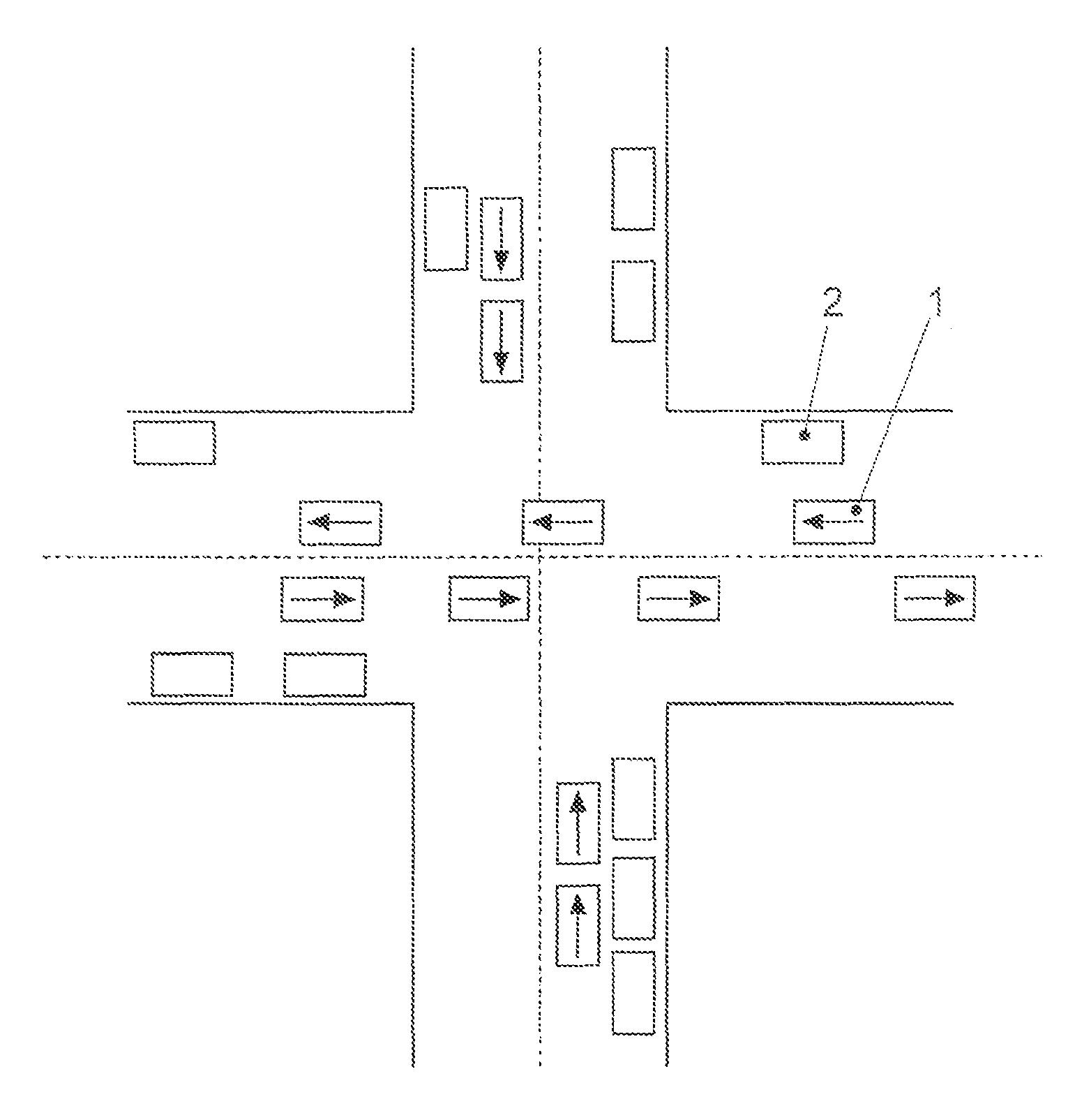
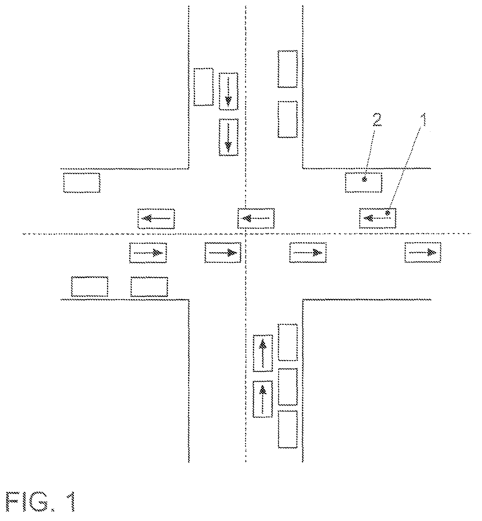
[0036]FIG. 1 schematically illustrates an exemplary embodiment of a satellite image and / or aerial image of an intersection. At the instant this satellite image and / or aerial image is photographed, both moving vehicles 1 and parked vehicles 2 are in the area of the intersection. If such a satellite image and / or aerial image were to remain unprocessed and made available in the form shown to a navigation system of a motor vehicle for displaying photo-realistic maps, then when passing through the intersection, the impression would be conveyed via the navigation system of running over moving motor vehicles 1 and / or parked vehicles 2. Moreover, superimposing such an unprocessed satellite and / or aerial image with, for example, a current traffic status would be very bewildering, since further vehicles would be displayed in addition to motor vehicles 1 and 2 already present in FIG. 1, which would lead to a very confusing display that would demand unsuitably high attention from a driver of a ...
PUM
 Abstract
Description
Claims
Application Information
 - R&D
- Intellectual Property
- Life Sciences
- Materials
- Tech Scout
- Unparalleled Data Quality
- Higher Quality Content
- 60% Fewer Hallucinations
Browse by: Latest US Patents, China's latest patents, Technical Efficacy Thesaurus, Application Domain, Technology Topic, Popular Technical Reports.
© 2025 PatSnap. All rights reserved.Legal|Privacy policy|Modern Slavery Act Transparency Statement|Sitemap|About US| Contact US: help@patsnap.com


