Supercharge Your Innovation With Domain-Expert AI Agents!

Hyperlink map information system

A map information and hyperlink technology, applied in special data processing applications, instruments, electrical digital data processing, etc., can solve problems such as the inability to observe data laws, and achieve the effect of improving map browsing experience and strong interactive capabilities

Inactive Publication Date: 2011-08-24
朱新芳
View PDF2 Cites 12 Cited by
  • Summary
  • Abstract
  • Description
  • Claims
  • Application Information

AI Technical Summary

Problems solved by technology

For region-related data, many institutions have also begun to use maps to display the processing results of online analysis. However, on the map interface, they cannot naturally drill up, drill down, slice, slice, and rotate to observe on the map from multiple angles and layers. data law

Method used


Image

  • Hyperlink map information system
  • Hyperlink map information system
  • Hyperlink map information system

Examples


Embodiment Construction

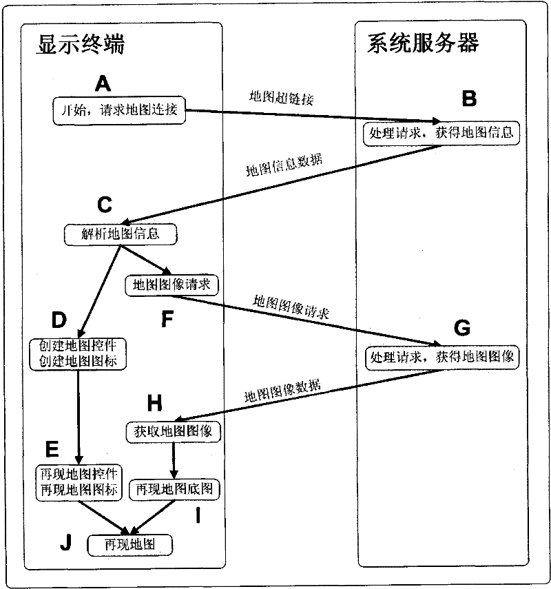
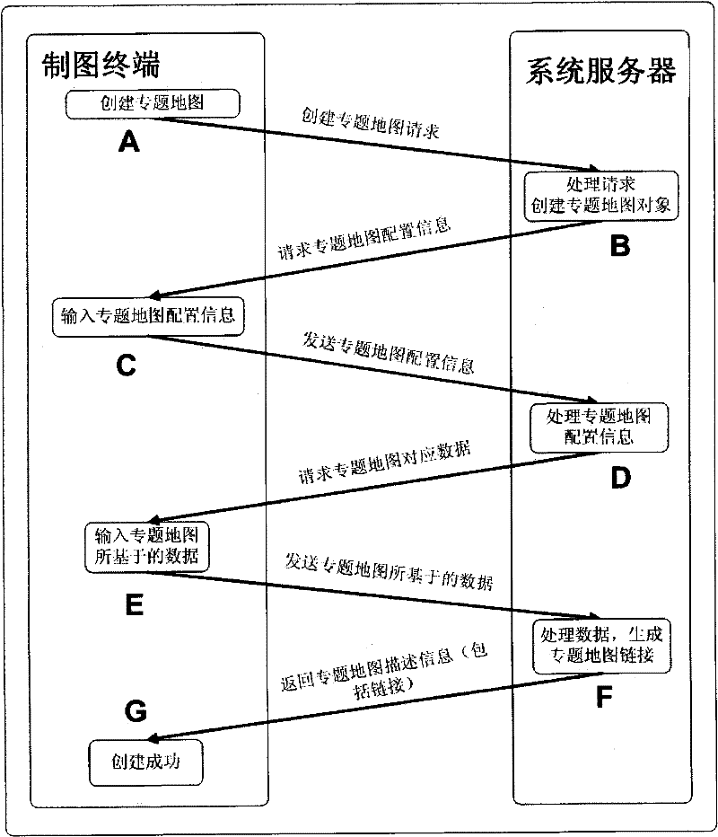
[0024] The present invention will now be described more specifically with reference to the accompanying drawings.

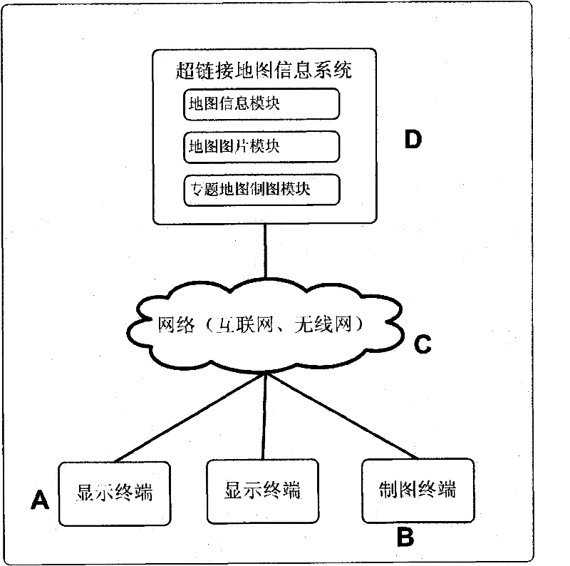
[0025] refer to figure 1 , an example of a structure diagram of a hyperlink map information system implemented according to the present invention, including the following parts:

[0026] A: Multiple display terminals.

[0027] B: One or more charting terminals.

[0028] C: Computer network, including the Internet, wireless network, and virtual network of organizational structure.

[0029] D: System server.

[0030] The display terminal A is a hardware terminal installed with an operating system, such as a personal computer, a portable notebook, a mobile phone, a netbook, and the like. The display terminal is installed with a web browser (such as Internet Explorer, Mozilla Firefox, Google Chrome, Safari, etc.), or an independent multimedia player (such as Flash Player).

[0031] The drawing terminal B is similar to the display terminal A, and is also a hardwa...


PUM


Abstract

The invention discloses a hyperlink map information system. Each map hyperlink in the hyperlink map information system corresponds to a map; a user triggers a link by interaction operation in a display terminal to make the display terminal request map information of a system server; the display terminal creates a map control and a map icon according to map information data which is returned from the system server and requests a map image of the system server simultaneously; and the display terminal displays the map control, the map icon and the map image in an overlapped mode based on a uniform coordinate system. Meanwhile, the hyperlink map information system can also make various thematic maps according to a request of a map-making terminal and generate the corresponding map hyperlink.

Description

technical field [0001] The invention describes a map information display system. More specifically, it is a map information display system involving terminals such as personal PCs and mobile phones. The system also includes a server module supporting terminal display, an organization method and a display method of map information. Background technique [0002] The map information system provides specific map information to the network terminal, and the map information generally includes base map pictures and corresponding feature information. Since feature information is generally represented by pictures, this method is limited by the image rendering on the server side, making it difficult to display more forms of content. At the same time, the landmarks are represented by pictures, which limits the user's interaction with the landmarks on the map. [0003] Traditional map information systems use map controls on terminals to display maps. However, due to the low popularit...

Claims


Application Information

Patent Timeline
Patent Type & Authority Applications(China)
IPC IPC(8): G06F17/30
Inventor 不公告发明人
Owner 朱新芳
Features
  • R&D
  • Intellectual Property
  • Life Sciences
  • Materials
  • Tech Scout
  • Unparalleled Data Quality
  • Higher Quality Content
  • 60% Fewer Hallucinations
Learn More