
Design method of three-dimensional simulation system for mining

A technology of three-dimensional simulation and design method, applied in the field of three-dimensional simulation, can solve the problems of insufficient intelligent mapping of geological parts, insufficient quality and accuracy of geological maps, insufficient echo and cooperation, etc.

Inactive Publication Date: 2012-10-31
黄桂芝
View PDF3 Cites 19 Cited by
  • Summary
  • Abstract
  • Description
  • Claims
  • Application Information

AI Technical Summary

Problems solved by technology

[0003] The purpose of the present invention is to provide a design method of a three-dimensional simulation system for mining, to solve the lack of echo and coordination between the surface entity data structures in the existing three-dimensional simulation system of the mining process, and there is no adjacent triangle formed between adjacent data. The influence of the angle between the planes should be directly considered, the quality and accuracy of geological maps in the exploration area are insufficient, the secondary development of geological data in the mining process is insufficient, and the degree of intelligent mapping of the geological part is insufficient.

Method used

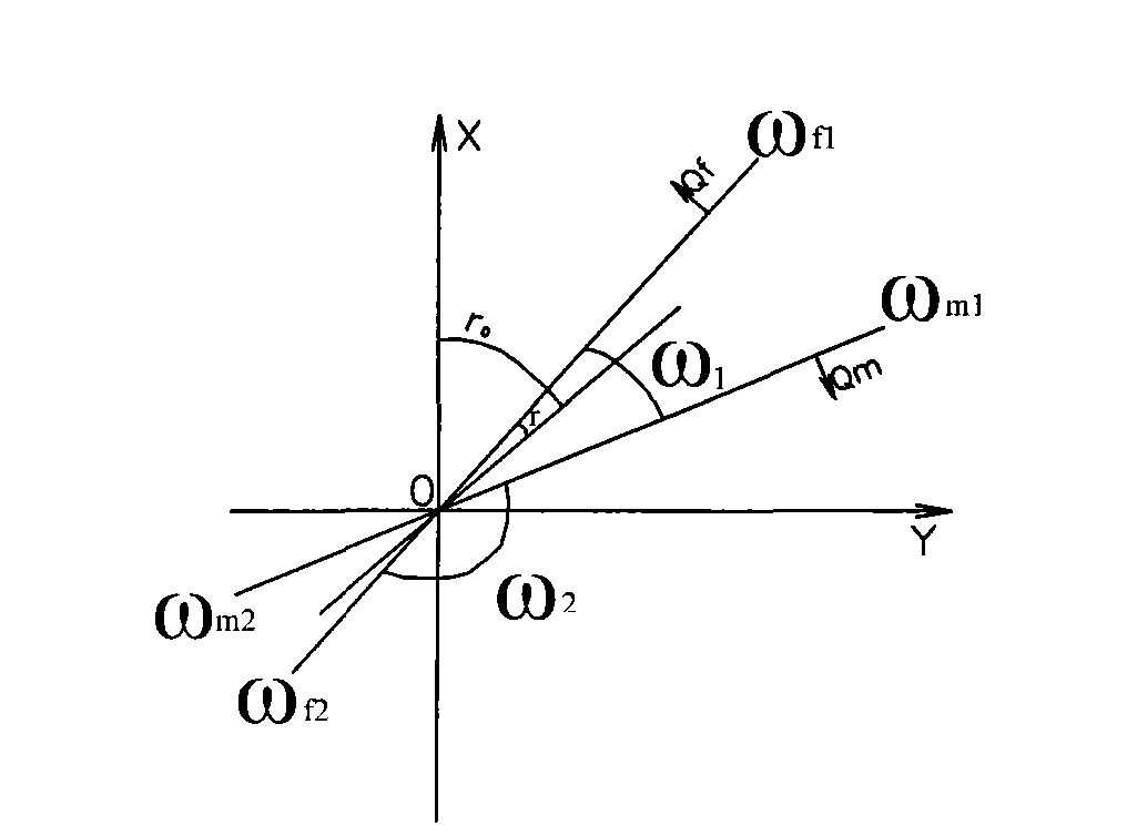
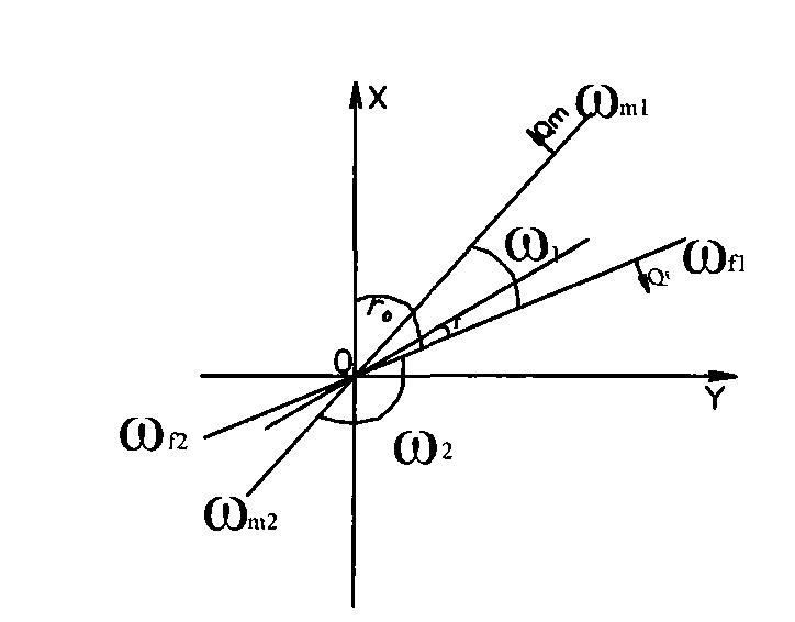
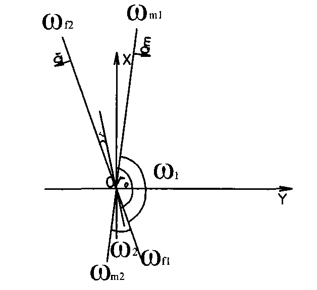

Image

  • Design method of three-dimensional simulation system for mining
  • Design method of three-dimensional simulation system for mining
  • Design method of three-dimensional simulation system for mining

Examples


specific Embodiment approach 1

[0133] For the specific example in step 1, see the application filed on the same day, the application number is , and the patent name of the application is an example in the topographic map surveying and mapping method using the rotating TIN network and the double-weight interpolation method of distance and included angle.

[0134] For the specific example in step 2, see the application filed on the same day, the application number is , and the application patent name is an example in the geological survey method of directly making plan and elevation maps by using the rotating TIN network and the non-section method.

[0135] Specific examples in step four are:

[0136] 1. An inclined uphill roadway of Sancai Zuojiu Road in Kongxi encountered a fault at point A, and the following data were obtained through underground measurement: the elevation of point A is -100m, the fault inclination is opposite to that of the coal seam, and the stratum fault throw at point A is 16m , the st...


PUM


Abstract

The invention relates to a design method of a three-dimensional simulation system for mining, which overcomes the defects that a three-dimensional simulation technology is low in quality, precision and intelligent mapping degree in the mining process. The design method comprises the following steps of: manufacturing an earth surface entity by a topographic mapping method using a rotary mating TIN (Triangulated Irregular Network) and distance and included angle biweight interpolation method; manufacturing a geological map of a surveying area by a geological surveying method of directly manufacturing a geological surveying result plan and an elevation by a disclination maneuvering network non-section method; synthesizing a three-dimensional visual model of mining geology; performing stripping design on a strip mine, or design on shaft building, advancement and exploitation of an underground mine, obtaining the position and direction of an intersecting line of two flats of broken mines (rocks) at a fault according to original geological data in shaft building, excavation or stripping, and adding the position and direction to the three-dimensional visual dynamic model, a sinking and driving engineering layout plan and a mine (rock) stratum (body) seam floor contour (isopach) map for mining geology and exploitation engineering; and establishing a mining geology and exploitation management module.

Description

technical field [0001] The invention relates to a three-dimensional simulation technology of a mining process. Background technique [0002] Due to the lack of echo and cooperation between the surface entity data structures in the existing 3D mining simulation system, the influence of the angle between adjacent triangular planes formed by adjacent data is not directly considered, and the quality and accuracy of geological maps in the exploration area Insufficient, the lack of secondary development of geological data in the mining process, and the insufficient level of intelligent mapping of the geological part have caused the quality and accuracy of the 3D simulation technology in the mining process to remain at a low level and level. Contents of the invention [0003] The purpose of the present invention is to provide a design method of a three-dimensional simulation system for mining, to solve the lack of echo and cooperation between the surface entity data structures in...

Claims


Application Information

Patent Timeline
Patent Type & Authority Applications(China)
IPC IPC(8): G06T17/05G06F17/50
Inventor 黄桂芝冯彬董长吉赵建华杨德智
Owner 黄桂芝
Learn More