An autonomous navigation method based on the joint ranging of earth satellites and lunar satellites
An earth satellite and autonomous navigation technology, applied in the field of satellite autonomous navigation, can solve the problems of weak observability of the navigation system and difficulty in realizing high-precision navigation, and achieve high-precision results
- Summary
- Abstract
- Description
- Claims
- Application Information
AI Technical Summary
Problems solved by technology
Method used
Image
Examples
Embodiment Construction
[0030] Specific embodiments of the present invention will be further described in detail below in conjunction with the accompanying drawings.
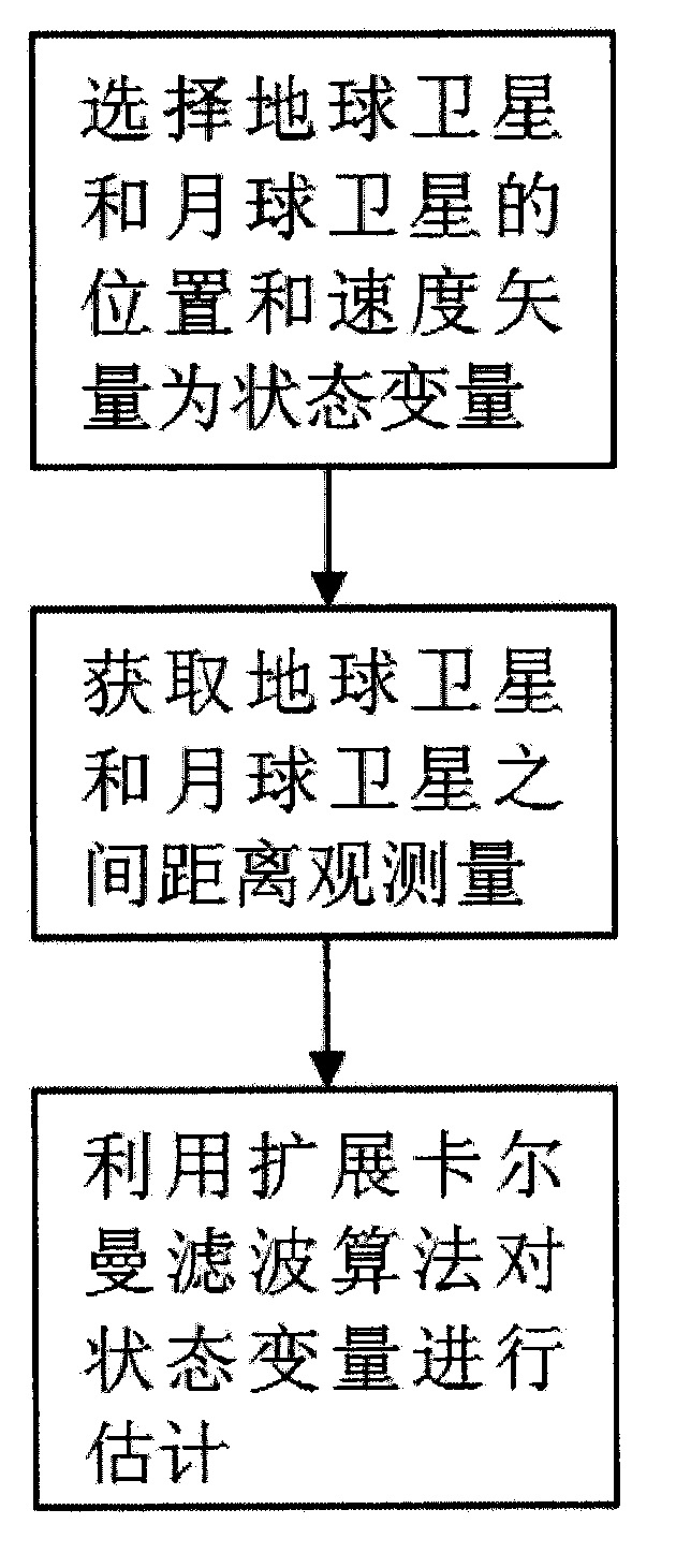
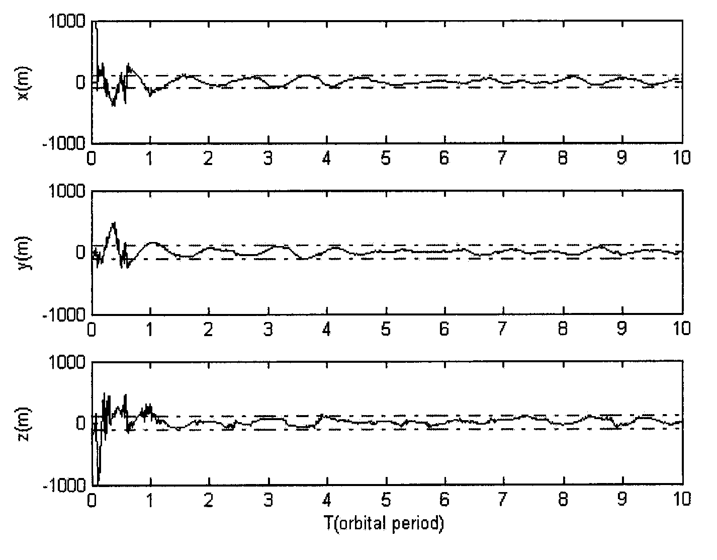
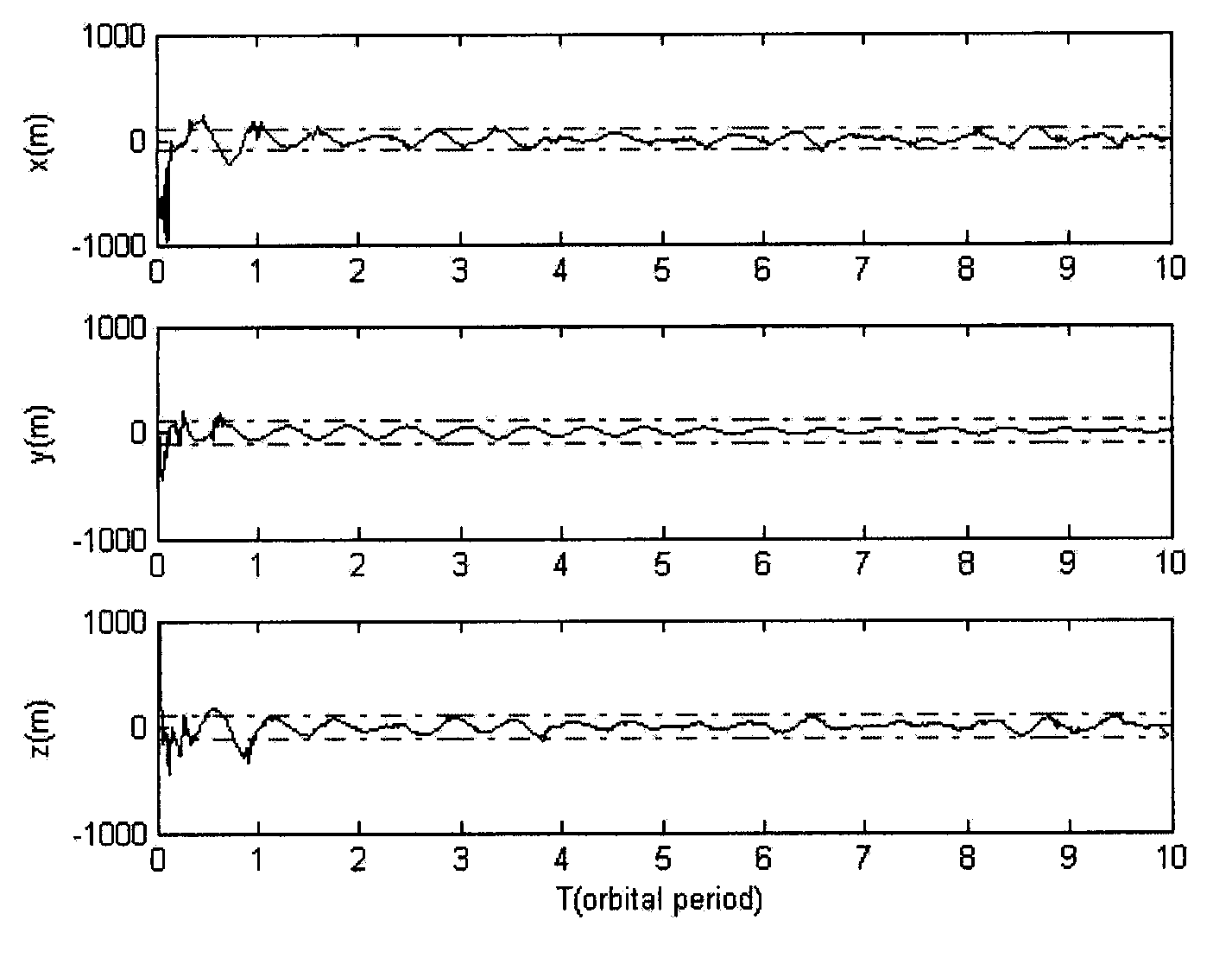
[0031] Aiming at the problem that the existing technology is difficult to realize high-precision autonomous navigation, the present invention proposes that an inter-satellite link can be established between the earth satellite and the moon satellite to measure the inter-satellite distance. At this time, the dynamic characteristics of the two satellites are respectively affected by the earth and the significant influence of the moon's gravity. In this case, the navigation system not only has observability, but also has a high degree of observability. Based on the distance measurement information between the earth satellite and the moon satellite, as well as the three-body orbital dynamics equation, by using the Extended Kalman Filter (EKF) algorithm, the absolute position of the earth satellite and the moon satellite can be estimated at...
PUM
 Abstract
Description
Claims
Application Information
 - R&D
- Intellectual Property
- Life Sciences
- Materials
- Tech Scout
- Unparalleled Data Quality
- Higher Quality Content
- 60% Fewer Hallucinations
Browse by: Latest US Patents, China's latest patents, Technical Efficacy Thesaurus, Application Domain, Technology Topic, Popular Technical Reports.
© 2025 PatSnap. All rights reserved.Legal|Privacy policy|Modern Slavery Act Transparency Statement|Sitemap|About US| Contact US: help@patsnap.com


