Emergent pre-warning grid dividing system and method based on hybrid space correlation analysis
A spatial relationship and grid division technology, applied in data processing applications, instruments, calculations, etc.
- Summary
- Abstract
- Description
- Claims
- Application Information
AI Technical Summary
Problems solved by technology
Method used
Image
Examples
Embodiment 1
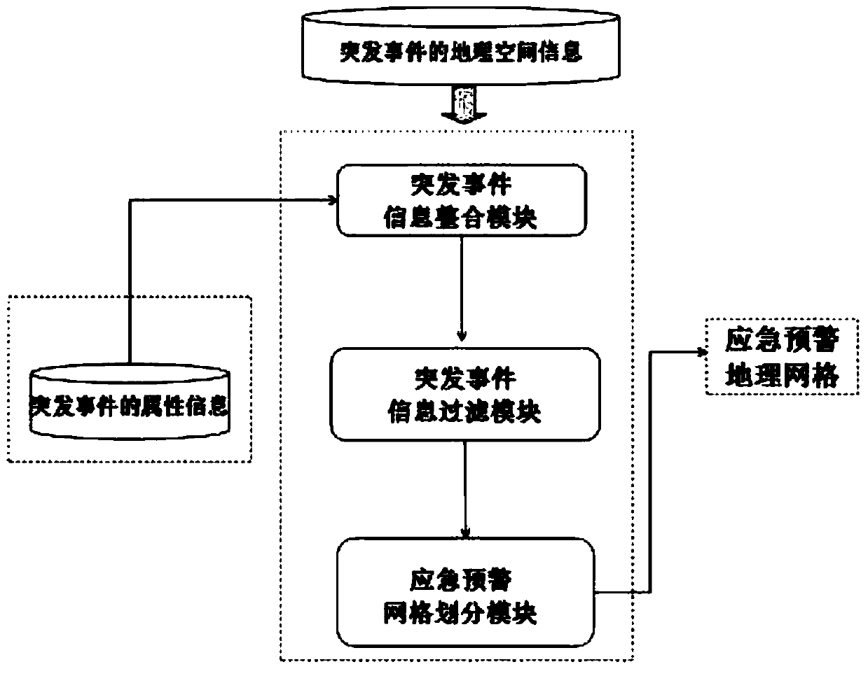
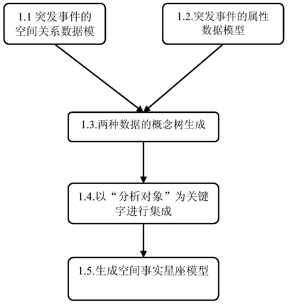
[0029] Such as figure 1 As shown, the present embodiment includes: an emergency event information integration module, an emergency event information filtering module and an emergency early warning grid division module, wherein: the emergency event information integration module receives the emergency geographic information from the GIS database and from the relationship Emergency event attribute information of type data, and generate spatial relationship information according to GIS data processing, and output spatial relationship information and event attributes to the emergency event information filtering module after integrating the spatial fact constellation model according to keywords, and emergency event information filtering The module filters and preprocesses the spatial fact constellation model according to the distribution difference of spatial information and outputs the processed spatial fact constellation model to the emergency warning grid division module. Fact C...
PUM
 Abstract
Description
Claims
Application Information
 - R&D
- Intellectual Property
- Life Sciences
- Materials
- Tech Scout
- Unparalleled Data Quality
- Higher Quality Content
- 60% Fewer Hallucinations
Browse by: Latest US Patents, China's latest patents, Technical Efficacy Thesaurus, Application Domain, Technology Topic, Popular Technical Reports.
© 2025 PatSnap. All rights reserved.Legal|Privacy policy|Modern Slavery Act Transparency Statement|Sitemap|About US| Contact US: help@patsnap.com


