
A survey method of dangerous rockfall based on panoramic image

A panoramic image and dangerous rockfall technology, which is applied in the field of information extraction and three-dimensional dangerous rockfall investigation based on panoramic image, can solve the problem that it is difficult to meet the continuous improvement of engineering construction quality, safety and efficiency requirements, poor precision, and large field workload. To achieve the effect of improving the efficiency of remote sensing interpretation, facilitating retrieval and extraction, and improving survey efficiency and accuracy

Active Publication Date: 2015-12-02
CHINA RAILWAY SIYUAN SURVEY & DESIGN GRP
View PDF6 Cites 2 Cited by
  • Summary
  • Abstract
  • Description
  • Claims
  • Application Information

AI Technical Summary

Problems solved by technology

[0003] The traditional survey method of rockfall in dangerous rocks is mainly based on manual survey and supplemented by aerial and satellite image interpretation. This method has disadvantages such as large field workload, low efficiency, poor accuracy, and great safety hazards; traditional remote sensing interpretation is carried out on a two-dimensional plane. Interpretation, the interpretation results need to be transferred multiple times, the interpretation accuracy is low, and it is difficult to meet the needs of continuous improvement in the quality, safety and efficiency of engineering construction

Method used


Image

  • A survey method of dangerous rockfall based on panoramic image
  • A survey method of dangerous rockfall based on panoramic image
  • A survey method of dangerous rockfall based on panoramic image

Examples


Embodiment Construction

[0022] The present invention will be further described in detail below in conjunction with the accompanying drawings and specific embodiments to facilitate a clear understanding of the present invention, but they do not limit the present invention.

[0023] like figure 1 As shown, the method of the embodiment of the present invention includes the following steps:

[0024] The first step is to determine the areas along the project line containing dangerous rockfalls as work points according to the existing engineering survey data; use the engineering survey data to determine the approximate distribution position of dangerous rockfalls in the project, and delineate the areas containing dangerous rockfalls on the topographic map The scope is as dangerous rock falling site; the materials that can be referred here mainly include: the aerial and satellite images collected in the stages of project pre-feasibility study, feasibility study, preliminary design, etc., and the site survey ...


PUM


Abstract

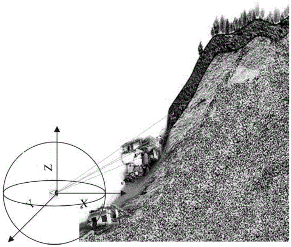
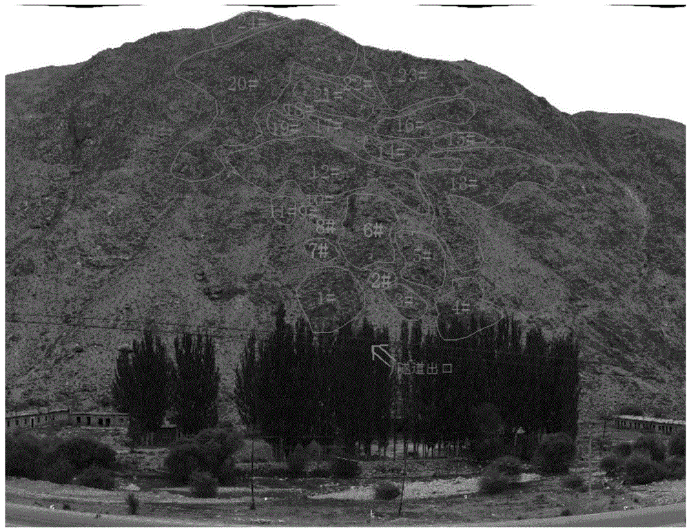
The invention discloses a panoramic-image-based dangerous falling rock surveying method, which comprises the following steps of distributing control points, acquiring a panoramic image of a construction site, and calculating attitude parameters and unit sphere center positions of the panoramic image under an engineering coordinate system for panoramic image orientation by combining with real coordinates of each control point; establishing a measurable three-dimensional visual environment of the panoramic image to obtain a three-dimensional panoramic image with a geographic reference by combining with a digital elevation model of the construction sites; identifying dangerous falling rocks, and extracting the information of the dangerous falling rocks. According to the method, the panoramic image of an engineering construction area is acquired, and a digital three-dimensional dangerous falling rock interpretation environment is established under the support of a high-precision mathematical model, so that a dangerous falling rock remote-sensing interpretation method is improved, and the distribution range, scale, spatial form and position of the dangerous falling rocks are accurately and efficiently determined; the method is proven to be effective by the actual application of railway construction projects such as the coal transportation passage from Sanmenxia to Jingmen and the railway from Xinjiang Baluntai to Yiergen.

Description

technical field [0001] The invention relates to a method for investigating dangerous rockfalls, in particular to a three-dimensional dangerous rockfall investigation and information extraction method based on panoramic images. Background technique [0002] Dangerous rockfall is one of the important geological disasters in mountainous areas. It has the characteristics of many disaster points, wide distribution, strong suddenness, and difficulty in predicting. In the construction of railway and highway projects in mountainous areas, the investigation of dangerous rockfall and rockfall is an important part of engineering survey. At the same time, both railway and highway cutting slopes also need to be regularly investigated for dangerous rockfall. Through the investigation of dangerous rockfalls, determine the distribution location, scale and impact on engineering hazards of dangerous rockfalls near the line. [0003] The traditional survey method of rockfall in dangerous rock...

Claims


Application Information

Patent Timeline
Patent Type & Authority Patents(China)
IPC IPC(8): G01C11/00
CPCG01C11/00
Inventor 冯光胜李海亮高山曹柏树陈世刚李东黎刘善勇岳永兴汪继峰陈爱云
Owner CHINA RAILWAY SIYUAN SURVEY & DESIGN GRP
Learn More