High resolution remote sensing image local feature extraction method based on 2D-Gabor
A 2d-gabo, remote sensing image technology, applied in the field of high-resolution remote sensing image processing, can solve the problem of lack of remote sensing image selection process, etc.
- Summary
- Abstract
- Description
- Claims
- Application Information
AI Technical Summary
Problems solved by technology
Method used
Image
Examples
Embodiment Construction
[0054] Below in conjunction with accompanying drawing and embodiment the present invention will be further described:
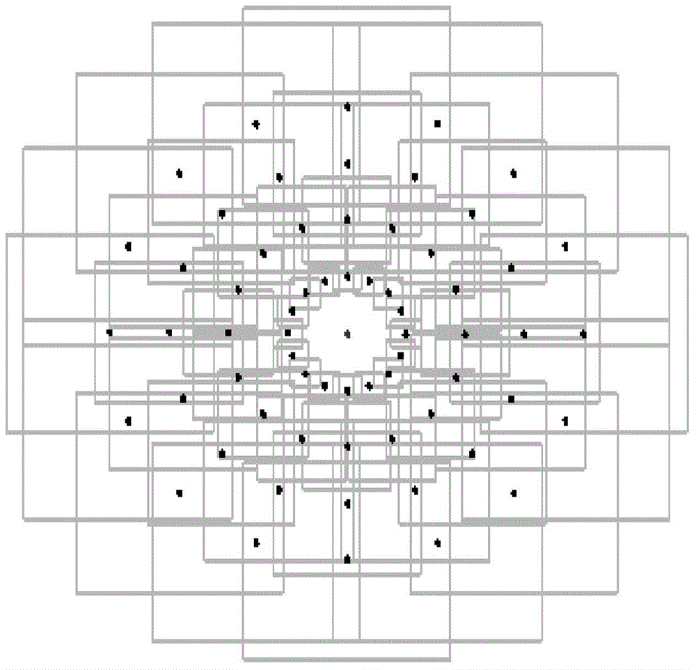
[0055] Such as figure 1 shown.
[0056] S1. Use 2D-Gabo to generate the scale space of remote sensing images. The kernel function of the 2D-Gabor is that the direction angle is θ and the frequency is w 0 The complex sine function of modulates the two-dimensional Gaussian function h(x,y,θ,σ x ,σ y ), the scale space is L(x,y,σ s ), where h(x,y,θ,σ x ,σ y )=g(x',y')exp[2πj(u 0 x+ν 0 y)],
[0057] L ( x , y , σ s ) = Π m = 1 N | L ( x , y , σ s , θ ...
PUM
 Abstract
Description
Claims
Application Information
 - R&D
- Intellectual Property
- Life Sciences
- Materials
- Tech Scout
- Unparalleled Data Quality
- Higher Quality Content
- 60% Fewer Hallucinations
Browse by: Latest US Patents, China's latest patents, Technical Efficacy Thesaurus, Application Domain, Technology Topic, Popular Technical Reports.
© 2025 PatSnap. All rights reserved.Legal|Privacy policy|Modern Slavery Act Transparency Statement|Sitemap|About US| Contact US: help@patsnap.com


