

A network layout method for ground photography base stations
A technology of ground photography and network deployment, which is applied in photogrammetry/video metrology, instruments, surveying and mapping and navigation, etc. It can solve the problems of heavy measurement workload, small coverage, slow speed, etc., to improve coverage and efficiency and rationality, the effect of reducing field workload
- Summary
- Abstract
- Description
- Claims
- Application Information
AI Technical Summary
Problems solved by technology
Method used
Image

Examples
Embodiment Construction
[0014] A ground photography base station network deployment scheme is different from the existing methods, which reduces the field workload and improves the coverage of photogrammetry. The specific implementation steps are as follows:
[0015] 1) Determine the scale of the topographic map, and determine the photogrammetry accuracy m according to the scale of the topographic map p , using digital model① Calculate the farthest depth of field Y of the photographic image point max , where a is the camera pixel length, f is the camera focal length;
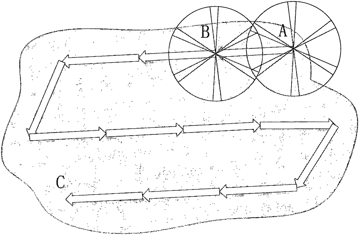
[0016] 2) if figure 1 As shown, firstly, select the photographic base station A in the area to be measured, and secondly, determine the next photographic base station B according to a certain direction. The photographic radius of the two base stations is R, and the distance between adjacent photographic base stations is 2R. Among them, R=kY max , k is a constant coefficient between 0 and 1, generally 0.7;
[0017] 3) Start photog...
PUM
 Abstract
Description
Claims
Application Information