A dem-based method for automatic extraction of valley shape parameters
A morphological parameter, automatic extraction technology, applied in 3D modeling, image data processing, structured data retrieval, etc.
- Summary
- Abstract
- Description
- Claims
- Application Information
AI Technical Summary
Problems solved by technology
Method used
Image
Examples
Embodiment 1
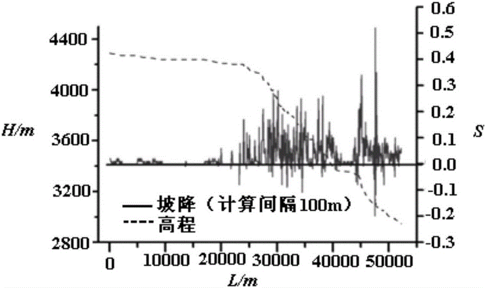
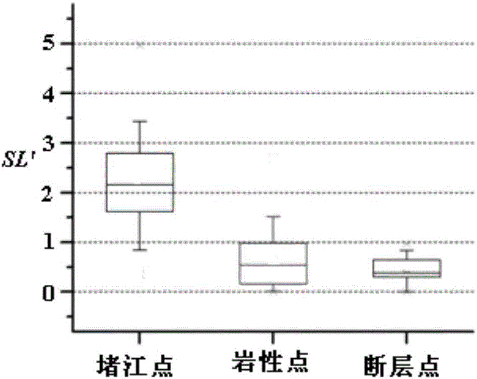
[0138] This method was used to extract the distribution of the standardized river length-slope index SL' of Khambu Maqu and its tributaries in Yadong County, Tibet Autonomous Region, China, and based on the index, the automatic identification and application analysis of landslide blockage time was carried out.
[0139] 1. Data source and topographic point SL’ extraction
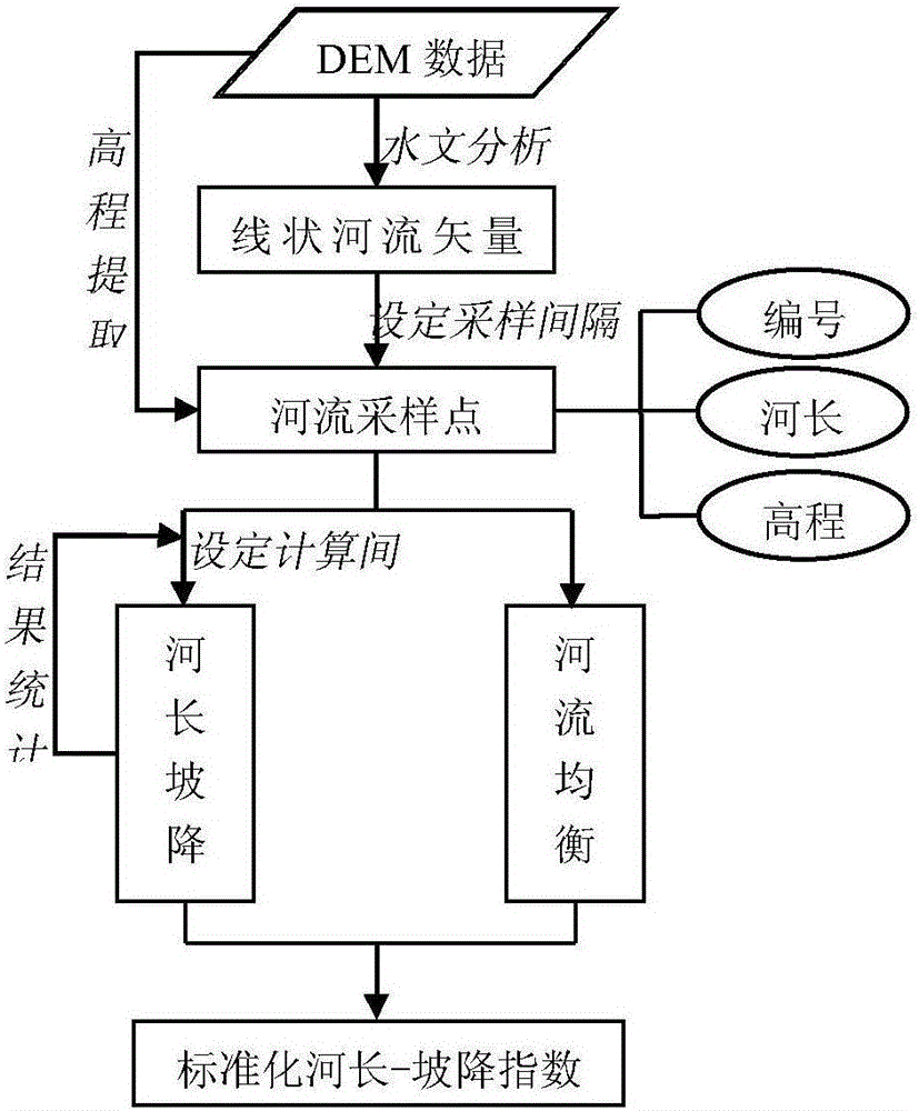
[0140] Using the 1:50,000 topographic map digitized DEM (spatial resolution about 25m) as the basic data, the equilibrium slope K of the 10 main rivers in the watershed was extracted and calculated, and the Kangbu Maqu and its tributaries were calculated at a sampling interval of 50m SL' of all sampling points in the valley longitudinal profile.
[0141] Due to the relatively small area of the study area and the relatively regular shape of the water system, this application does not consider the influence of factors such as climate change and river encroachment on the evolution of the river landform in the ...
Embodiment 2
[0161] Using this method, taking the geographical locations of the river blocking landslides and non-blocking river landslide events that have occurred in the Himalayas of China as the positioning points, the morphological parameters of the valley cross section where each point is located are automatically extracted, and a model is established based on the above parameters to analyze the impact of landslides. The topographical sensitivity of river blocking can be verified, and the ability evaluation of landslide body blocking river can be realized.
[0162] 1. Automatic extraction of data source and morphological parameters of valley cross section
[0163] The basic data for calculating the morphological parameters of the cross-section of the valley include the elevation data covering the Himalayas in China and the location points of landslides and non-blocking river landslides. This application selects ASTER GDEM v2 with 30m resolution as the elevation data source. The geogr...
PUM
 Abstract
Description
Claims
Application Information
 - R&D
- Intellectual Property
- Life Sciences
- Materials
- Tech Scout
- Unparalleled Data Quality
- Higher Quality Content
- 60% Fewer Hallucinations
Browse by: Latest US Patents, China's latest patents, Technical Efficacy Thesaurus, Application Domain, Technology Topic, Popular Technical Reports.
© 2025 PatSnap. All rights reserved.Legal|Privacy policy|Modern Slavery Act Transparency Statement|Sitemap|About US| Contact US: help@patsnap.com


