

Interpolation method for generating complex terrain grid model based on GIS data
A grid model and complex terrain technology, applied in image data processing, electrical digital data processing, special data processing applications, etc., can solve the problem that can not truly reflect the changes of the actual terrain, can not restore the details of the terrain more realistically, and the height accuracy Reduce and other problems, achieve the effect of simple interpolation algorithm, high accuracy, and reduce complexity
- Summary
- Abstract
- Description
- Claims
- Application Information
AI Technical Summary
Problems solved by technology
Method used
Image

Examples
Embodiment Construction
[0025] In order to make the object, technical solution and advantages of the present invention clearer, the present invention will be further described in detail below in conjunction with the accompanying drawings and embodiments. It should be understood that the specific embodiments described here are only used to explain the present invention, not to limit the present invention. In addition, the technical features involved in the various embodiments of the present invention described below can be combined with each other as long as they do not constitute a conflict with each other.
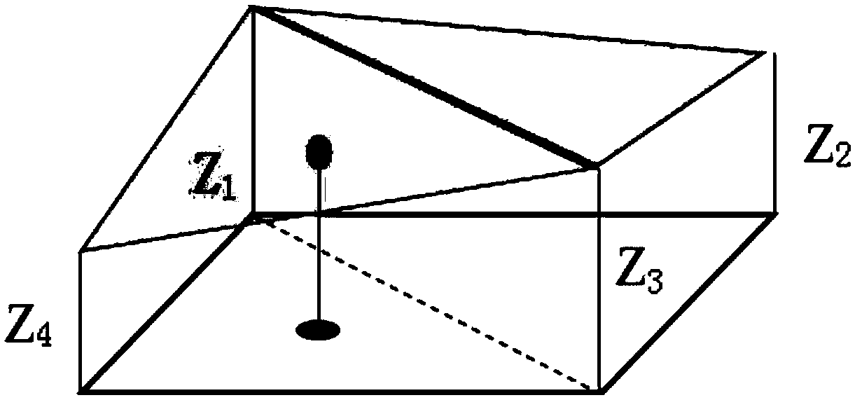
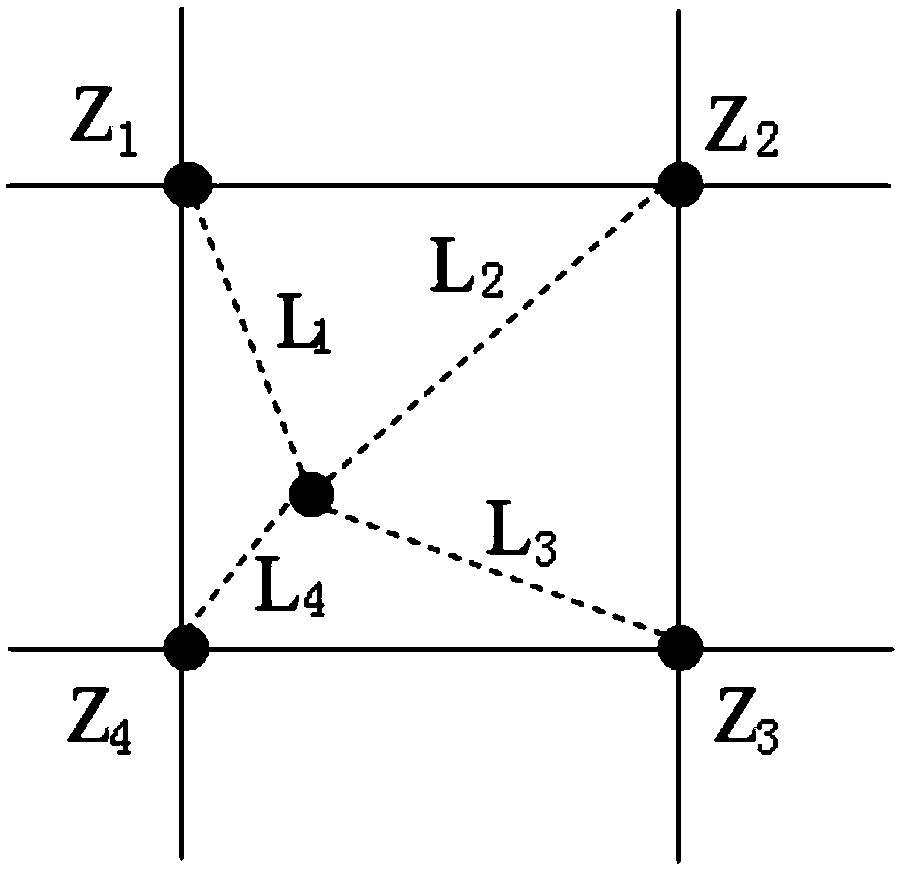
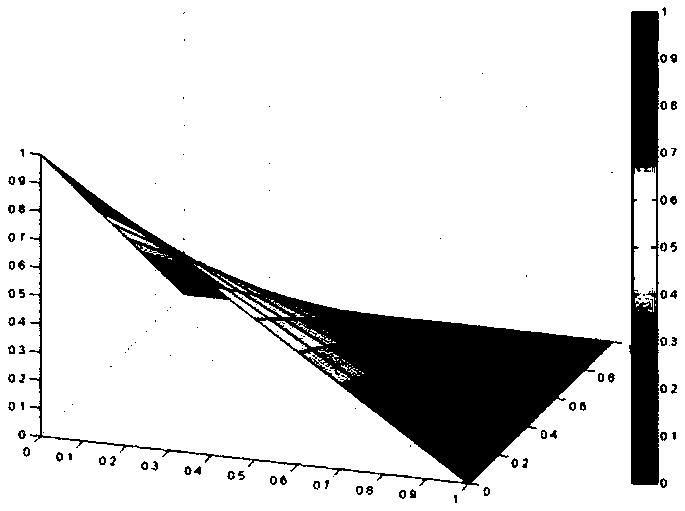
[0026] refer to Figure 1 to Figure 6 , an interpolation method for generating complex terrain grid models based on GIS data, the method comprises the following steps:
[0027] 1) Select the research terrain area, and obtain the terrain data of the research terrain area under the ASTER GDEM 30-meter resolution geodetic coordinates from the GIS geographic information system; use ArcMap to proces...
PUM
 Abstract
Description
Claims
Application Information