Estimation method for volume change of subglacial lake
A technology of volume change and amount of change, applied in the field of environmental remote sensing applications, can solve the problems of altimetry satellite sampling in space or time is scarce, unable to accurately obtain the shape and volume changes of subglacial lakes, etc. Easy access and research-enhancing effects
- Summary
- Abstract
- Description
- Claims
- Application Information
AI Technical Summary
Problems solved by technology
Method used
Image
Examples
Embodiment Construction
[0029] The present invention will be described in detail below according to the accompanying drawings, so that the purpose and effect of the present invention will become more obvious.
[0030] The CryoSat-2 radar altimeter SARIn mode L1B waveform data of the CryoSat-2 radar altimeter SARIn model used for estimating the volume change of the Antarctic subglacial lake in the present invention is downloaded from the European Space Agency (ESA) website (ftp: / / science-pds.cryosat.esa.int), and the time is January 2011-December 2017.
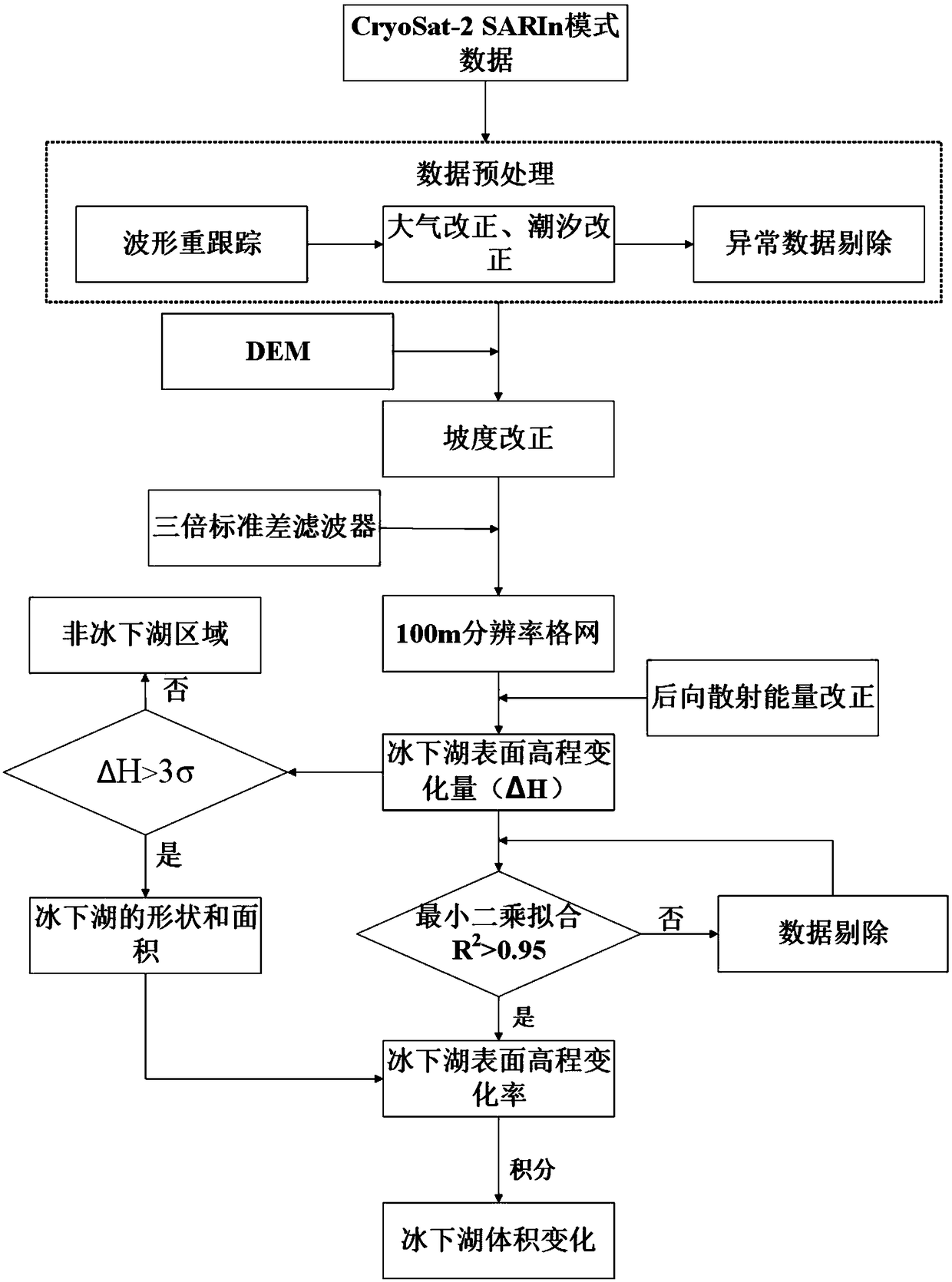
[0031] Such as figure 1 It is the flow chart of this embodiment, and the method for estimating the volume change of the subglacial lake in this embodiment includes the following steps:
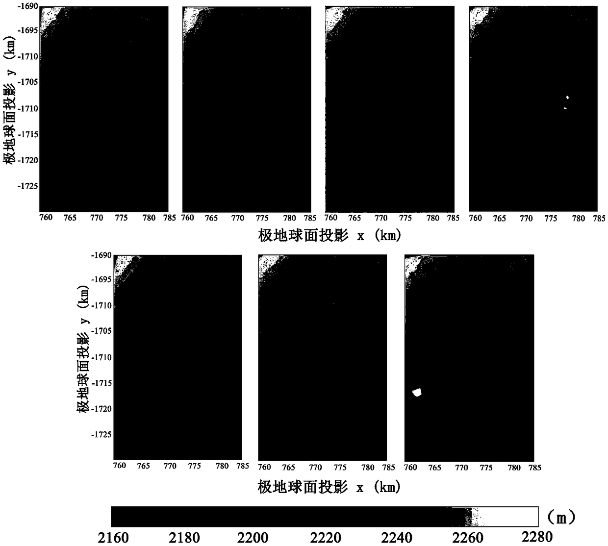
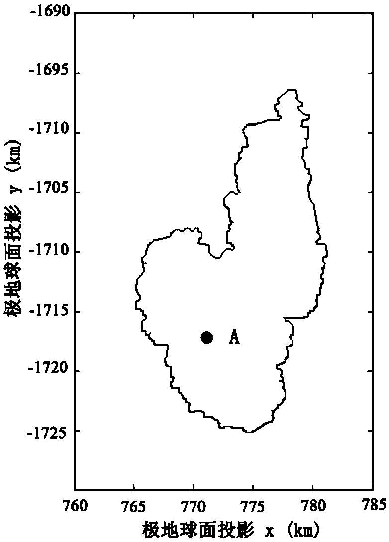
[0032] The first step, get Cook E2 L1B waveform data from the CryoSat-2 radar altimeter SARIn mode for 2011-2017 in the subglacial lake region. The range of the study area is 155.1E-156.3E, 72.69S-76.97S.
[0033] The second step is to calculate the surface elevat...
PUM
 Abstract
Description
Claims
Application Information
 - R&D
- Intellectual Property
- Life Sciences
- Materials
- Tech Scout
- Unparalleled Data Quality
- Higher Quality Content
- 60% Fewer Hallucinations
Browse by: Latest US Patents, China's latest patents, Technical Efficacy Thesaurus, Application Domain, Technology Topic, Popular Technical Reports.
© 2025 PatSnap. All rights reserved.Legal|Privacy policy|Modern Slavery Act Transparency Statement|Sitemap|About US| Contact US: help@patsnap.com


