Critical rainfall estimation method based on rainfall spatial distribution

A technology of spatial distribution and rainfall, which is applied in the field of critical rainfall estimation based on the spatial distribution of rainfall, can solve the problems of short response time for personnel and property transfer, failure to take into account the spatial distribution characteristics of rainfall basin topographical characteristics, and unfavorable mountain torrent warning due to the spatial distribution characteristics of rainfall.

Active Publication Date: 2019-07-09
HOHAI UNIV
View PDF5 Cites 5 Cited by
  • Summary
  • Abstract
  • Description
  • Claims
  • Application Information

AI Technical Summary

Problems solved by technology

However, in the current process of estimating critical rainfall, the spatial distribution characteristics of rainfall and watershed topography are often not considered
The heavy rainfall process in which the center of the storm is close to the downstream often causes sudden floods in the downstream rivers. Such flash floods rise very quickly, leaving short reaction time for personnel and property transfers, which

Method used


Image

  • Critical rainfall estimation method based on rainfall spatial distribution
  • Critical rainfall estimation method based on rainfall spatial distribution
  • Critical rainfall estimation method based on rainfall spatial distribution

Examples


Embodiment Construction

[0078] Below in conjunction with accompanying drawing, technical scheme of the present invention is described in further detail:

[0079] Such as figure 1 As shown, the present invention discloses a critical rainfall estimation method based on the spatial distribution of rainfall, comprising the following steps:

[0080] Step 1, estimating the confluence flow velocity in each grid cell in the hydrological response unit;

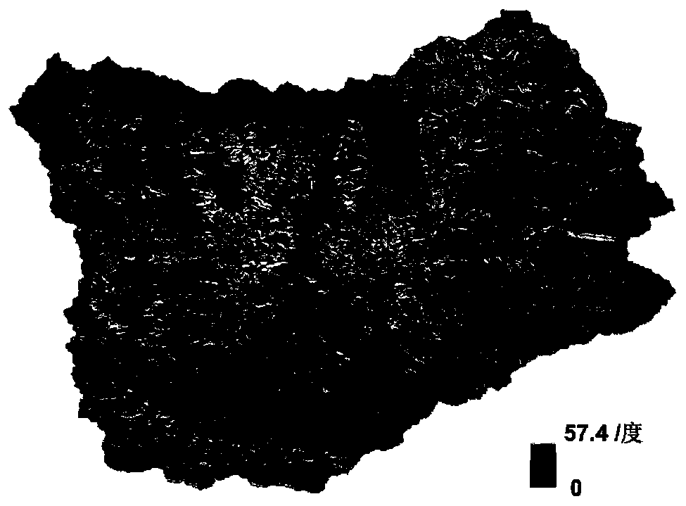
[0081] Step 1.1, use the digital elevation model data of the watershed, that is, DEM data to calculate the slope, flow direction, and cumulative value of confluence of each grid unit in the watershed, and obtain the slope grid, flow direction grid, and cumulative flow grid:

[0082] With the grid unit Cell as the center, find the lowest grid unit Cell by comparing the elevation value of the surrounding grid unit with the elevation value of the grid unit D , and calculate Cell and Cell D The height difference between DH max and the horizontal projection di...


PUM


Abstract

The invention discloses a critical rainfall estimation method based on rainfall spatial distribution. The critical rainfall estimation method comprises the steps that firstly, estimating the confluence flow velocity in each grid unit in a hydrological response unit secondly, on the basis of the confluence flow velocity in each grid unit, obtaining a confluence time grid in the drainage basin; performing spatial interpolation on the time-interval rainfall data observed by the station to obtain a rainfall spatial distribution grid, and combining the convergence time grid to obtain a time-interval dynamic rainfall index; counting an accumulated dynamic rainfall index before a flood peak occurs in the flood process; then counting the tension water content saturation, namely the initial soil water content saturation, of the day before the flood process begins; finally, whether the flood is an over-alarm flood is judged, and making a cumulative dynamic rainfall indicator - initial soil watercontent saturation scattering point graph on the basis of multiple floods and i, marking points corresponding to the overwanted flood, and drawing a critical rainfall line in combination with the points corresponding to the overwanted flood.

Description

technical field [0001] The invention relates to the technical field of hydrology, in particular to a critical rainfall estimation method based on the spatial distribution of rainfall. Background technique [0002] There are many rivers in my country, with a drainage area of ​​200 to 3000 km 2 There are nearly 9,000 small and medium watersheds in China. In recent years, affected by climate change, sudden floods of small and medium-sized rivers caused by local heavy rainfall have occurred frequently, and have become the main disasters causing casualties. Because small and medium-sized watersheds are usually located in remote mountainous areas with complex terrain and steep slopes, rapidly rising floods can easily cause flood disasters that endanger the personal safety of local residents and the social economy. Early warning has become an important issue to be solved urgently. [0003] The critical rainfall method is a method widely used at home and abroad. Critical rainfal...

Claims


Application Information

Patent Timeline
IPC IPC(8): G06Q10/04G06Q50/26
CPCG06Q10/04G06Q50/26Y02A10/40
Inventor 童冰星李致家
Owner HOHAI UNIV
Why Eureka
Try Eureka