
Ellipsoidal layered atmospheric refraction-based optical satellite image accurate ground positioning method

An atmospheric refraction and optical satellite technology, which is applied in the field of optical satellite images, can solve the problems of not considering the influence of atmospheric refraction, rough atmospheric stratification, and inconsistency with reality, and achieve the effects of simple implementation, accurate ground point coordinates, and high precision.

Active Publication Date: 2019-07-23
WUHAN UNIV
View PDF4 Cites 3 Cited by
  • Summary
  • Abstract
  • Description
  • Claims
  • Application Information

AI Technical Summary

Problems solved by technology

[0002] Most of the existing optical satellite direct-to-earth positioning models adopt the collinear equation model without considering the influence of atmospheric refraction [1]; although some consider the influence of atmospheric refraction, they are based on the round earth model instead of the ellipsoid model, or Only the geocentric angle caused by atmospheric refraction is calculated, and the atmospheric stratification is also very rough and unrealistic[2,3]

Method used


Image

  • Ellipsoidal layered atmospheric refraction-based optical satellite image accurate ground positioning method
  • Ellipsoidal layered atmospheric refraction-based optical satellite image accurate ground positioning method

Examples


Embodiment Construction

[0042] In order to facilitate those of ordinary skill in the art to understand and implement the present invention, the present invention will be described in further detail below in conjunction with the accompanying drawings and embodiments. It should be understood that the embodiments described here are only used to illustrate and explain the present invention, and are not intended to limit this invention.

[0043] The precise ground positioning method for optical satellite images based on ellipsoid layered atmospheric refraction proposed by the embodiment of the present invention is developed on the basis of the existing collinear equation model. At the same time, the processing of atmospheric refraction is added to make the ground point coordinates more accurate, and a new precise ground positioning model for optical satellite images is provided. The implementation of the method of the embodiment includes the following steps:

[0044] (1) Establish the correspondence betw...


PUM


Abstract

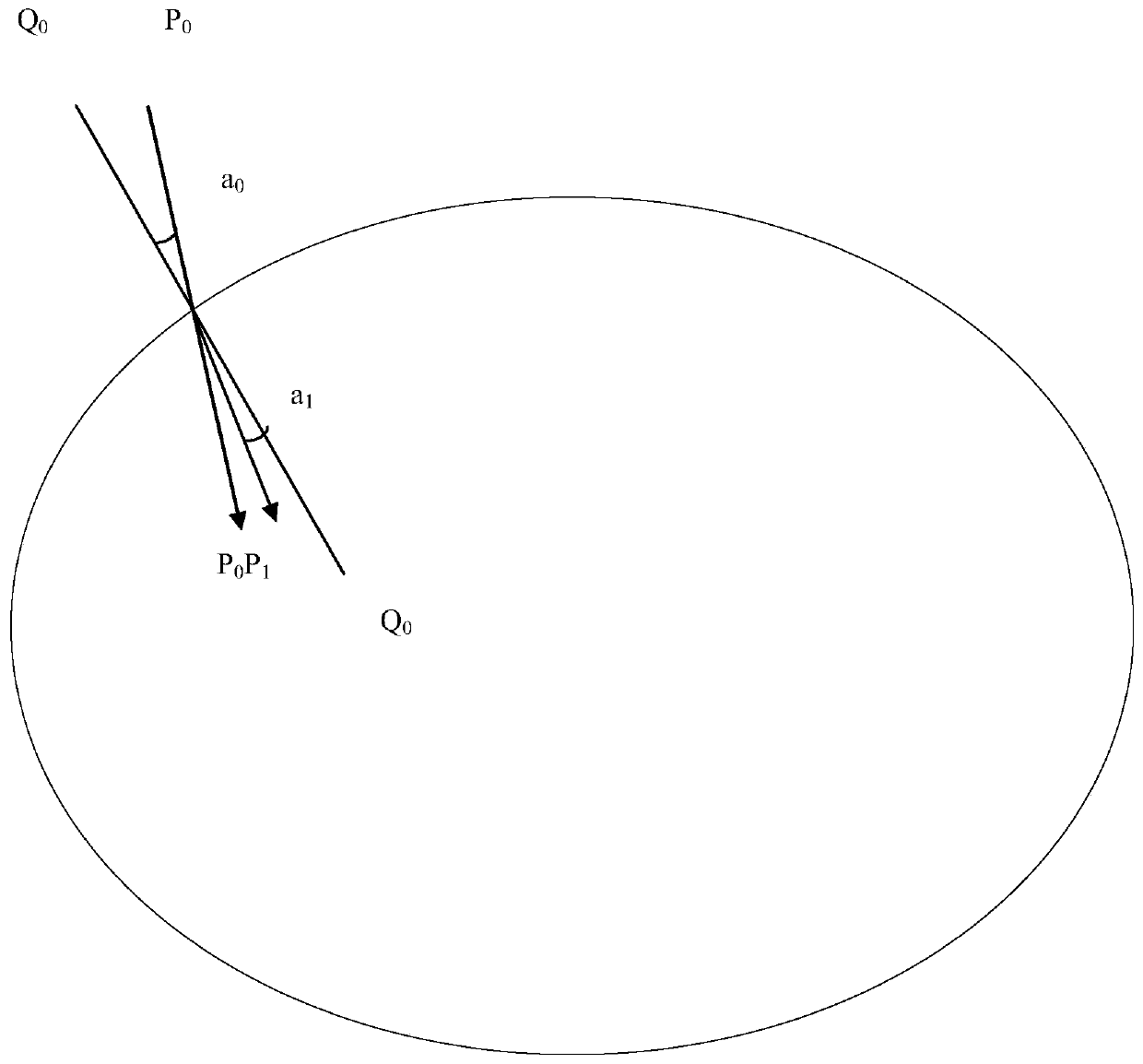
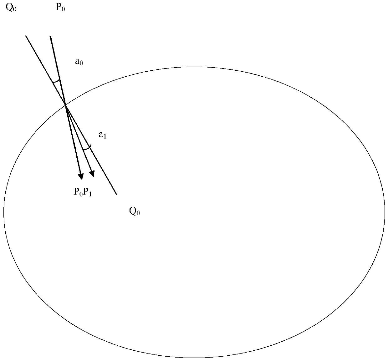
The invention provides an ellipsoidal layered atmospheric refraction-based optical satellite image accurate ground positioning method. The method comprises the following steps of establishing a corresponding relationship between the height of any global point and an atmospheric refraction index; determining an intersection point of the incident light vector and the reference ellipsoid of the nextlayer according to the light initial point, and determining a refracted light vector on the next layer; gradually reducing the height of the positioning point by finely layering the atmosphere, and iteratively resolving the intersection point of the light ray and the reference ellipsoid until the intersection point is intersected with the real terrain surface to obtain the optical satellite imageaccurate ground positioning point based on ellipsoid layering atmospheric refraction. According to the method, the atmospheric refraction processing is provided, the ground point coordinates are moreaccurate, the layered refraction light vectors under the influence of atmospheric refraction are accurately extracted by calculating the normal vector of the reference ellipsoid at the refraction point, and the method is achieved through an atmospheric fine layering and gradual iterative solution mode, so that implementation is easy and convenient, and the positioning precision is high.

Description

technical field [0001] The invention belongs to the technical field of optical satellite images, and includes a precise ground positioning method for optical satellite images based on ellipsoid layered atmospheric refraction. Background technique [0002] Most of the existing optical satellite direct-to-earth positioning models adopt the collinear equation model without considering the influence of atmospheric refraction [1]; although some consider the influence of atmospheric refraction, they are based on the round earth model instead of the ellipsoid model, or Only the geocentric angle caused by atmospheric refraction is calculated, and the atmospheric stratification is also very rough and unrealistic[2,3]. The positioning model based on ellipsoid layered atmospheric refraction proposed by the present invention overcomes the above shortcomings, and can be used for precise ground positioning of optical satellite images. [0003] references: [0004] [1] Shan Jie. A Brief ...

Claims


Application Information

Patent Timeline
IPC IPC(8): G06F17/50G06T7/70
CPCG06T7/70G06F30/20
Inventor 金淑英王艳丽王密程宇峰
Owner WUHAN UNIV
Learn More