
Method for joint measurement of slope monitoring reference point and IGS tracking station

A technology of reference point and tracking station, which is applied in the field of joint measurement of slope monitoring reference point and IGS tracking station, which can solve the problem of low joint measurement accuracy and achieve the effect of small coordinate deviation and strong stability

Pending Publication Date: 2019-11-22
ANSTEEL GRP MINING CO LTD
View PDF2 Cites 2 Cited by
  • Summary
  • Abstract
  • Description
  • Claims
  • Application Information

AI Technical Summary

Problems solved by technology

[0005] The above research results are mainly based on the analysis of the number and distribution of joint measurements of different IGS stations, but for the typical characteristics of reference points in slope monitoring of open-pit mines, the research on the impact of joint measurement accuracy on the basis of joint measurement distance and quality factors of measuring stations is relatively limited. few

Method used


Image

  • Method for joint measurement of slope monitoring reference point and IGS tracking station
  • Method for joint measurement of slope monitoring reference point and IGS tracking station
  • Method for joint measurement of slope monitoring reference point and IGS tracking station

Examples


Embodiment 1

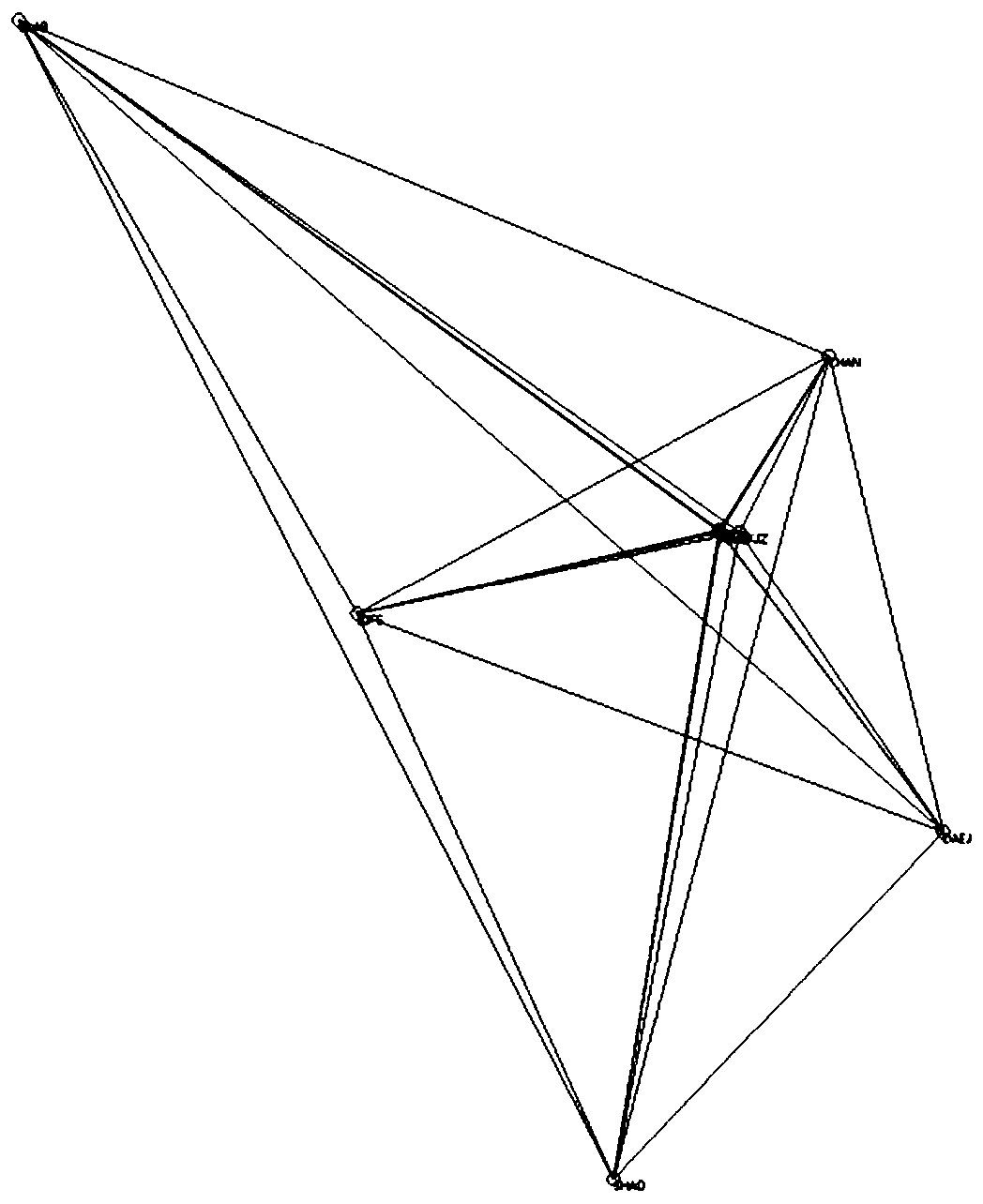
[0119] Baseline solution is the step with the longest processing time and the largest workload in GPS data processing, and it is the basis for network adjustment. The quality of the baseline solution directly affects the positioning accuracy and work efficiency of the GPS network. GAMIT software is a GPS data processing software jointly developed by the Massachusetts Institute of Technology (MIT) and the Scripps Institution of Oceanography (SIO). It is one of the high-precision GPS data processing general software in the world. In this example, firstly select the optimal IGS tracking station scheme for joint measurement in and around my country, and then describe the data processing method and steps of GAMIT software in detail, and use the observation data of 3 benchmark points in the mining area for seven consecutive days from 288 days to 294 days in 2018 As well as the observation data of 5 IGS stations in and around China as examples, the baseline solution results and accura...


PUM


Abstract

The invention belongs to the technical field of open-pit mining, and particularly relates to a method for joint measurement of a slope monitoring reference point and an IGS tracking station. The method is characterized by comprising the following steps of (1) reference network observation, (2) reference point data processing and (3) a data processing process and results. With the acquisition of high-precision reference station starting coordinates as a target, GAMIT software is used to perform joint measurement processing on base station data, the high-precision geocentric three-dimensional coordinates of the reference station are obtained as the starting point by studying a combination of different joint measurement IGS stations, processing methods, and processes, and regular re-examinations are conducted to check the stability of the reference point in a large scale space range.

Description

technical field [0001] The invention belongs to the technical field of open-pit mining, and in particular relates to a joint measurement method of a slope monitoring reference point and an IGS tracking station. Background technique [0002] Compared with underground mining, open-pit mining is more affected by climate. During the mining process, open-pit slopes will be formed, which can easily lead to slope angle instability and safety accidents. Slope instability means that during the mining process, the soil of the slope loses its original balance under its own gravity and external forces, and cracks, looseness, and slippage occur on the slope, which seriously affect the stability of the slope. [0003] With the development of science and technology, the slope of open-pit mining engineering has become an important problem that plagues mine safety production, and its stability is a prerequisite for ensuring normal mine production. After the excavation of the open-pit mine, ...

Claims


Application Information

Patent Timeline
Patent Type & Authority Applications(China)
IPC IPC(8): G01S19/14G01B21/32G01B21/04
CPCG01S19/14G01B21/32G01B21/04
Inventor 李纯阳贺黎明崔志平肖冬王海齐孙铭辰衣瑛
Owner ANSTEEL GRP MINING CO LTD
Learn More