A method of building height measurement based on psinsar technology
A technology of height measurement and building, applied in the direction of height/level measurement, measuring device, radio wave measurement system, etc., can solve the problems of high cost and regulatory restrictions, and achieve the effect of relatively automatic and fast estimation
- Summary
- Abstract
- Description
- Claims
- Application Information
AI Technical Summary
Problems solved by technology
Method used
Image
Examples
Embodiment
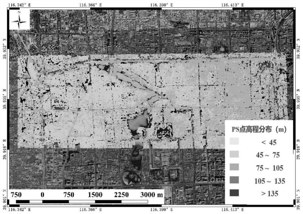
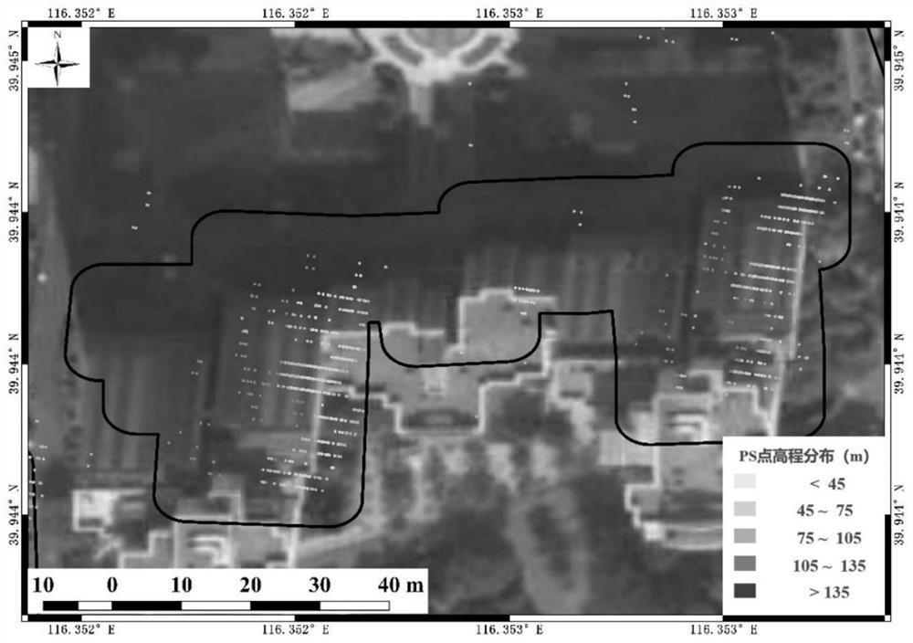
[0056] Such as Figure 2-5 Shown are the PSInSAR data result display map of Beijing Dongsi in the embodiment of the present invention, the PS point distribution map of a certain house in Dongsi, the ground elevation map of Dongsi area, and the elevation map of houses in Dongsi area.
[0057] Taking the area near Dongsi, Beijing as an example, from September 2011 to November 2017, a total of 96 episodes of SAR data, the satellite heading angle is 11.9°, the satellite attitude is ascending orbit, the downward viewing angle of the satellite center is 20°, and the spatial resolution is 3m × 3m, the width is 40km, the time interval is relatively uniform, and the time interval is about once a month, and the data quality is relatively good.
[0058] Using the PS algorithm, a large Beijing InSAR database is produced, with a total of more than 20 million PS points, and the PS points in the vicinity of Beijing Dongsi are intercepted, such as figure 2 As shown, the external input East ...
PUM
 Abstract
Description
Claims
Application Information
 - R&D
- Intellectual Property
- Life Sciences
- Materials
- Tech Scout
- Unparalleled Data Quality
- Higher Quality Content
- 60% Fewer Hallucinations
Browse by: Latest US Patents, China's latest patents, Technical Efficacy Thesaurus, Application Domain, Technology Topic, Popular Technical Reports.
© 2025 PatSnap. All rights reserved.Legal|Privacy policy|Modern Slavery Act Transparency Statement|Sitemap|About US| Contact US: help@patsnap.com


