

Building extraction method of multi-temporal high-resolution remote sensing images based on multi-feature lstm network
A high-resolution, remote sensing image technology, applied in the field of satellite remote sensing image processing and application, can solve problems such as high misclassification rate, blurred boundaries, and low accuracy.
- Summary
- Abstract
- Description
- Claims
- Application Information
AI Technical Summary
Problems solved by technology
Method used
Image

Examples
Embodiment 1
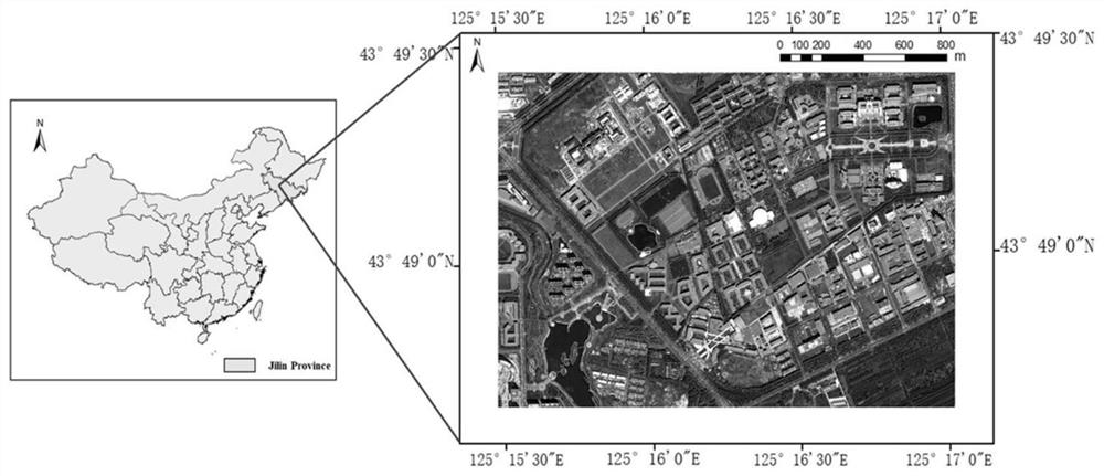
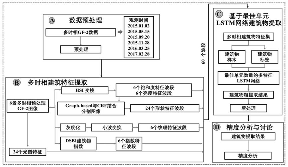
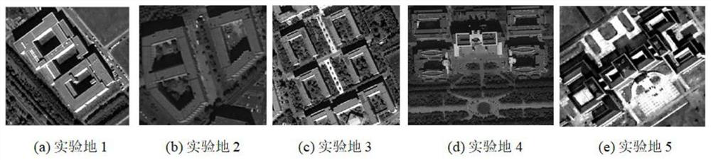
[0073] Using 6 high score No. 2 shots taken on January 2, 2015, May 15, 2015, September 20, 2015, November 28, 2015, March 25, 2016 and February 28, 2017 (GF-2) Multi-temporal remote sensing images are used as data sources. After image preprocessing of 6 original data, HSI color transformation, image segmentation combined with conditional random field post-processing, Gabor wavelet transform and DSBI index calculation are used. The method extracts the building features of the multi-temporal data of 6 scenes, and finally arranges the extracted multi-temporal building feature bands and the four bands of the original data in the order of the shooting time of the original satellite data, forming a multi-temporal building with 60 bands. Phase building feature set, use the feature set as the input data of multi-feature LSTM network to train multi-temporal building extraction model and obtain the rough extraction results of buildings, and finally obtain buildings with an average accur...
PUM
 Abstract
Description
Claims
Application Information