Remote sensing building detection method
A detection method and building technology, applied in the field of high-resolution remote sensing image data processing, can solve the problems of not giving scale parameters, difficulty in completing different types of buildings, and difficulty in obtaining reliable detection results
- Summary
- Abstract
- Description
- Claims
- Application Information
AI Technical Summary
Problems solved by technology
Method used
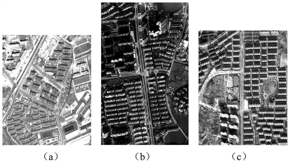
Image


Examples
Embodiment Construction
[0060] Below in conjunction with specific embodiment, further illustrate the present invention, should be understood that these embodiments are only used to illustrate the present invention and are not intended to limit the scope of the present invention, after having read the present invention, those skilled in the art will understand various equivalent forms of the present invention All modifications fall within the scope defined by the appended claims of the present application.
[0061] MAPs use the Max-Tree structure to represent the image, and perform attribute coarsening and thinning operations based on a given set of scale parameters N, so as to evaluate the attribute values of the connected components in the image. Its basic processing flow is as follows:
[0062] For a given grayscale image M, let j be any pixel, For the binary image determined by the scale parameter n∈N, the coarsening operation profile and the thinning operation profile θ j (M) can be obtain...
PUM
 Abstract
Description
Claims
Application Information
 - R&D
- Intellectual Property
- Life Sciences
- Materials
- Tech Scout
- Unparalleled Data Quality
- Higher Quality Content
- 60% Fewer Hallucinations
Browse by: Latest US Patents, China's latest patents, Technical Efficacy Thesaurus, Application Domain, Technology Topic, Popular Technical Reports.
© 2025 PatSnap. All rights reserved.Legal|Privacy policy|Modern Slavery Act Transparency Statement|Sitemap|About US| Contact US: help@patsnap.com