Planetary Surface Navigation Landmark Matching Method Based on Contour Point Set

A matching method and contour point technology, applied in the field of deep space exploration, to achieve the effect of easy processing, good navigation effect, and a wide range of matching objects

Active Publication Date: 2022-06-28
BEIJING INSTITUTE OF TECHNOLOGYGY
View PDF6 Cites 0 Cited by
  • Summary
  • Abstract
  • Description
  • Claims
  • Application Information

AI Technical Summary

Problems solved by technology

The algorithm is not suitable for images with fewer than three crater detections and images of other terrain features that are not craters

Method used


Image

  • Planetary Surface Navigation Landmark Matching Method Based on Contour Point Set
  • Planetary Surface Navigation Landmark Matching Method Based on Contour Point Set
  • Planetary Surface Navigation Landmark Matching Method Based on Contour Point Set

Examples


Embodiment Construction

[0060] In order to better illustrate the purpose and advantages of the present invention, the content of the invention will be further described below in conjunction with the accompanying drawings and examples.

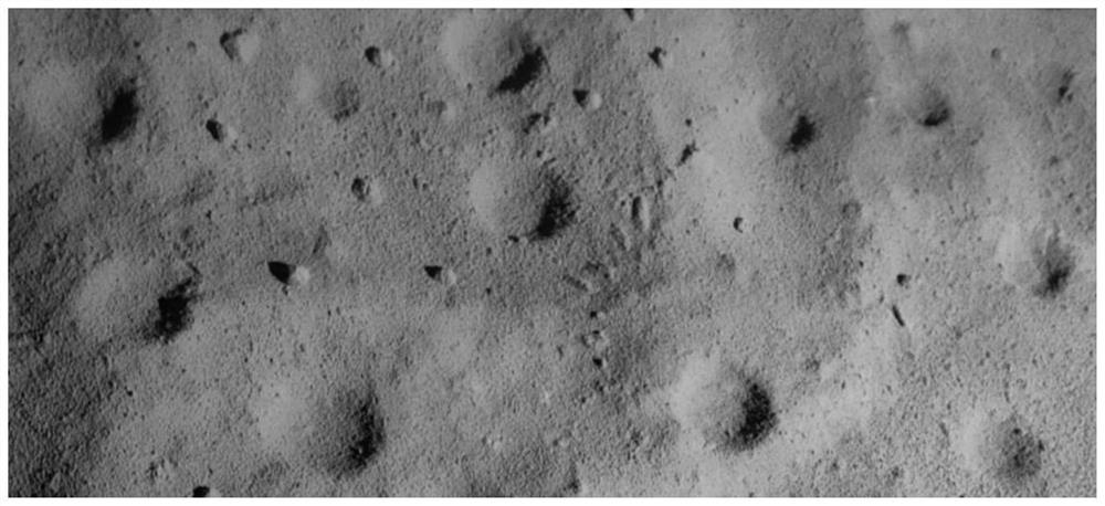
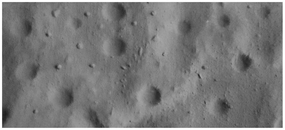
[0061] In order to verify the feasibility of the present invention, use the deep space autonomous navigation and control the planetary surface sand table of the key laboratory of the Ministry of Industry and Information Technology, take pictures from different angles through the camera, and simulate the database map (such as image 3 ) and the image to be matched after affine transformation (such as figure 2 ).

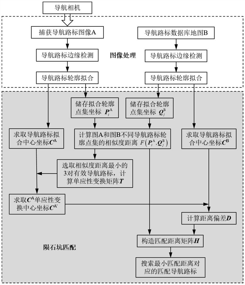
[0062] The planetary surface navigation landmark matching method based on the outline point set disclosed in this embodiment, such as figure 1 As shown, the specific implementation steps are as follows:

[0063] Step 1: The probe uses the carried optical camera to take directional photos of the target area of ​​the sand table on the surface of the planet,...


PUM


Abstract

The invention relates to a method for matching planetary surface navigation landmarks based on contour point sets, and belongs to the field of deep space exploration. The detector of the invention detects and fits the edges of the navigation landmarks on the planetary surface image A and the database map B respectively, and obtains the contour point set coordinates by discretizing the contour fitting of the navigation landmarks. Computes the similarity distance for the resulting set of discrete points. Select the three pairs of navigation landmarks with the smallest values ​​in the point set similarity matrix as effective matching landmarks, and calculate the homography transformation matrix. The affine transformation coordinates of the center coordinates of the image navigation landmarks to be matched are obtained from the homography transformation matrix, the distance deviation is calculated by using the center pixel coordinates of the navigation landmarks in the image, the matching distance matrix is ​​constructed, and the navigation landmarks with the smallest matching distance are searched for as matching landmarks. The matching object of the present invention is more extensive, can simultaneously match terrains such as craters, rocks, and ravines in optical images, and is suitable for matching and tracking sequence images and database maps.

Description

technical field [0001] The invention relates to a method for matching planetary surface navigation landmarks based on contour point sets, and is particularly suitable for matching sequence images in the deep space exploration and navigation process and matching landing images and databases, and belongs to the field of deep space exploration. Background technique [0002] Planetary exploration will be one of the core tasks of deep space exploration in the future, and the matching of planetary surface terrain features is one of the key technologies for optical autonomous navigation. The deep space exploration has a long voyage distance and long communication time, and the traditional ground-based measurement and control method has a large communication delay. In addition, the dynamic environment of deep space is complex, and the navigation mode based on ground remote control can no longer meet the needs of high-precision navigation. With the breakthrough and development of co...

Claims


Application Information

Patent Timeline
Patent Type & Authority Patents(China)
IPC IPC(8): G06V20/58G06V10/44G06V10/74G06K9/62G01C21/24
CPCG01C21/24G06V20/588G06V10/44G06F18/22
Inventor 朱圣英修义崔平远徐瑞梁子璇
Owner BEIJING INSTITUTE OF TECHNOLOGYGY
Why Eureka
Try Eureka